The Best Hikes in Every U.S. Region, Backed by AllTrails

AllTrails
From Maine’s fog-kissed coast to Big Bend’s desert ridges, AllTrails recommends the best routes to hit in America.
Whether you're chasing a remote summit, plotting a weekend escape or trying to dodge crowds at a popular trailhead, AllTrails is the most popular and trusted resource for discovering and navigating the outdoors. With over 450,000 trail routes and millions of user-submitted reviews, AllTrails helps you choose the right hike based on real conditions—not just the trail description.
AllTrails Plus takes things further, and Wildsam readers can unlock an exclusive 30 percent discount on an annual AllTrails Plus membership. You can download full-resolution offline maps, preview terrain in 3D, print custom routes and get wrong-turn alerts as you go. Live Share lets friends track your location in real time, especially helpful in remote parks or solo outings. With AllTrails Plus, you also unlock detailed route overlays, elevation profiles, and exclusive National Park trail guides vetted by AllTrails expert rangers. It turns a good hike into a well-prepared one.
Whether you’re looking for a beginner-friendly loop near town or an ambitious multi-day backpacking route, AllTrails Plus gives you clarity, safety, and flexibility—no matter where your boots land.
Below, we’ve rounded up 23 of the most unforgettable hikes in the country—organized by region and paired with tips for how AllTrails can help you make the most of them. Lace up, download the route, and let AllTrails guide your next great adventure.
THE NORTHEAST
Smarts Mountain, New Hampshire
With a significant stretch on the Appalachian Trail, this challenging 7-miler conquers some serious elevation on its way to vistas of New Hampshire’s green sea of forest.
Pro tip: Use AllTrails’ elevation graph to pace yourself over the steeper switchbacks and track your progress to the summit.
Mount Abraham, Vermont
The nation’s oldest long-distance trail, The Long Trail, traverses lush, high-elevation New England wilderness.
Pro tip: AllTrails Plus offline maps are wonderful for signal drops and intersections aren’t always well-marked.
Anthony’s Nose, New York
This 2-mile scramble up to Anthony’s Nose is part of the Appalachian Trail, revealing an expanse of quintessential river and mountain scenery—like Iona Island and Bear Mountain Bridge—at its terminus.
Pro tip: Use AllTrails' crowdsourced reviews to find quiet hours and the best parking workaround.
Fernald’s Neck, Maine
A quartet of mellow trails thread through this reserve maintained by the Coastal Mountains Land Trust, all easily done in a day of exploring. Classic Maine Coast beauty, highlighted by giant, lonely, delicately balanced glacial erratic rock and much-favored swimming spots.
Pro tip: Use the trail overlay on AllTrails Peak to create your own custom loop and make sure you don’t miss the swimming spots.

THE SOUTH
Walls of Jericho, Alabama
A steep 6.6-mile out-and-back that drops 1,000 feet through the Southern Cumberlands to a limestone box canyon where Davy Crockett once roamed.
Pro tip: Download offline maps with AllTrails Plus—cell service is unreliable in the canyon.
McAfee Knob, Virginia
One of the Appalachian Trail’s most iconic overlooks, this 8-mile out-and-back ends at a rock ledge above the Catawba Valley.
Pro tip: Use sunrise forecasts and trail traffic data in AllTrails to time your trip for solitude.
Alum Cave Trail, Tennessee
Pause at Gracie’s Pulpit, an outcropping overlooking the Great Smoky Mountains, before summiting Mount Le Conte, the sixth highest peak east of the Mississippi River.
Pro tip: June and July hikers can use the AllTrails community feed to catch peak rhododendron bloom.
Lookout Trail, North Carolina
In the far reaches of Western North Carolina’s Pisgah National Forest, a steep switchback climb (with some rock scrambles, for good measure) leads to epic views over Montreat, Swannanoa Valley and Seven Sisters ridge.
Pro tip: Late June and July climbers can spot the glorious Catawba Rhododendrons in peak bloom.
THE MIDWEST
Blind Ash Bay Trail, Minnesota
This 3-mile forest ramble along Kabetogama Lake threads through balsam, birch and towering pines before spilling onto rocky outcrops with postcard views of the water.
Pro tip: Turn on trail recording to mark wild mushroom sightings or, with luck, the ghost-like flash of a gray wolf.
Paul H. Douglas Trail, Indiana
Three and a half moderate miles in Indiana Dunes National Park, an undersung and fascinating landscape on the Lake Michigan shore, leads to one of the last black-oak savannahs remaining in the United States.
Pro tip: Use recent trail reviews to avoid mosquito-heavy stretches after rain.
Pictured Rocks National Lakeshore, Michigan
To hike the entirety of this trail, it's a multi-day, moderate challenge and a stunning 42 miles along the Lake Superior coastline in the Upper Peninsula.
Pro tip: Use AllTrails’ route planner to break this into backpacking-friendly segments with water access.
Katy Trail State Park, Missouri
America’s longest rail-trail unfurls for 240 mostly flat miles along the Missouri River past bluffs, restored depots and sleepy towns.
Pro tip: Download maps for offline use and use waypoints to track restrooms, campgrounds and towns.

MOUNTAINS & PLAINS
Medicine Root and Castle Trail Loop, South Dakota
This 4-mile loop explores the mixed-grass prairie and moonlike formations of Badlands National Park.
Pro tip: Use the satellite view to spot bighorn sheep and scan for weather before setting out—shade is scarce.
Avalanche Lake, Montana
Glacier National Park’s famed Trail of the Cedars is the lead-in to this 6-mile venture into the high alpine, culminating in Avalanche Lake’s knock-out setting in a bowl flanked by skyscraping mountains and plush Northern Rockies forest.
Pro tip: Print a map with AllTrails Plus since cell service tends to drop.
A 14-mile traverse of varied Indian Peaks Wilderness terrain takes in wildflower meadows and highland lakes. Runners vie for the coveted speed record.
Pro tip: Preview the route in 3D and use elevation stats to plan rest breaks—this one’s a haul.
Timber Creek Overlook, Utah
A 1.1-mile trail in Zion that punches above its weight, with sweeping views of Kolob Canyons and Pine Mountains.
Pro tip: Use AllTrails' trail conditions filter to avoid the slickrock after storms.
THE SOUTHWEST
Lost Mine Trail, Big Bend National Park, Texas
4.8-mile climb from the Chisos Basin weaves through juniper, oak and piñon before breaking onto a breezy ridgeline.
Pro tip: Use AllTrails’ waypoint tool to mark sightings of piñon jays, ocotillo blooms and rare desert wildflowers along the route.
Cape Final, Arizona
It’s the end of the world on this Grand Canyon hike—in the best possible way. Stroll casually through open ponderosa pines, knee-high grasses and blooming lupines. Then it all drops away: leaving the canyon, the distant Painted Desert and an eternity of sky.
Pro tip: Use the trail’s community feed to time wildflower blooms or avoid post-monsoon washouts.
Stewart Lake, New Mexico
A 12-mile roundtrip through the Pecos Wilderness leads past alpine meadows to a secluded lake at 10,232 feet.
Pro tip: Download offline maps before the trailhead—this one’s all high country with no reception.
THE FAR WEST
Alice-Toxaway and Edith Lake Loop, Idaho
A 22-mile backpacking loop in the Sawtooths weaves between granite peaks, quiet forests and gem-like alpine lakes.
Pro tip: Set up custom waypoints with AllTrails Plus to flag good campsites and creek crossings.
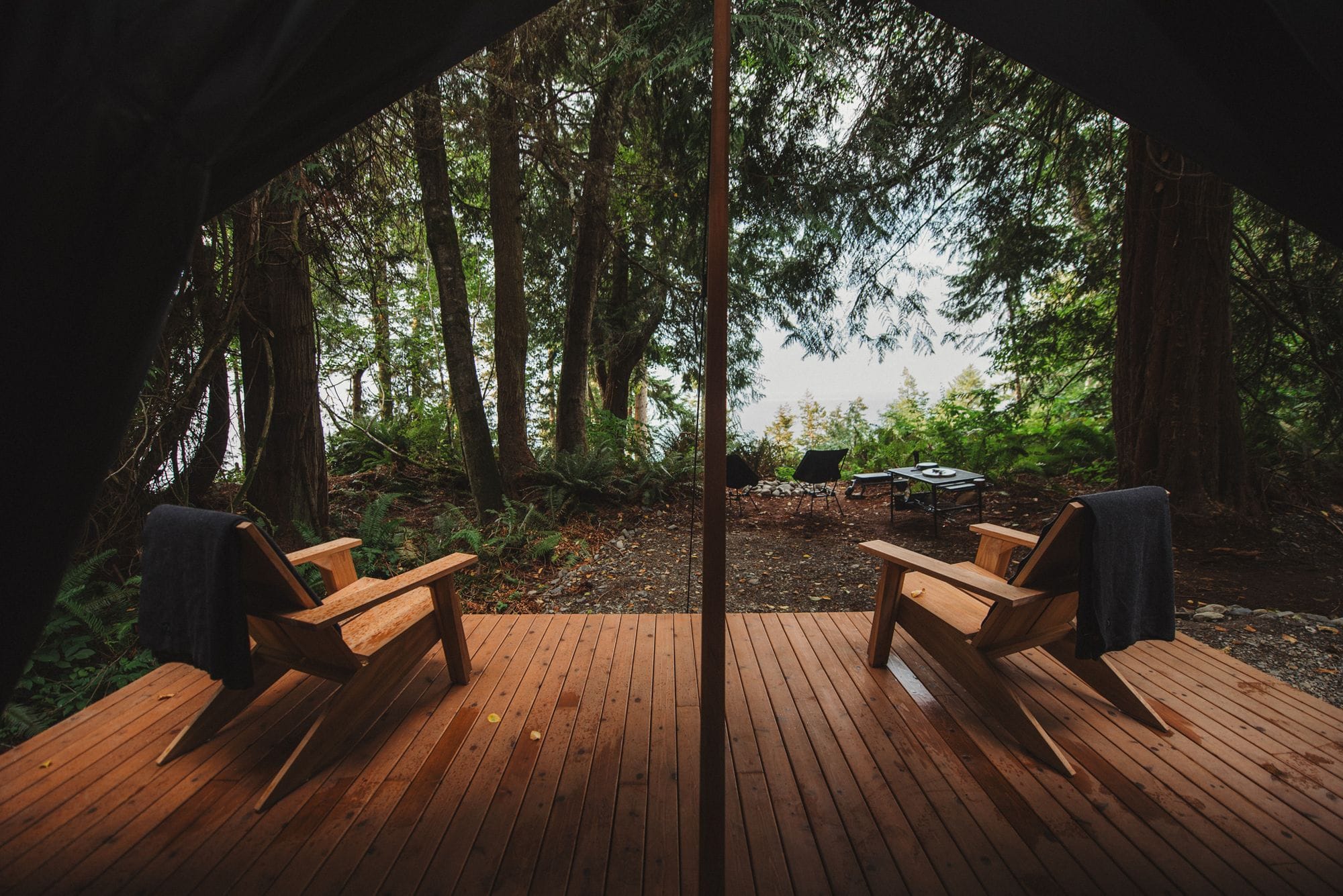
Hoh River Trail, Washington
A 5.5-mile rainforest walk in Olympic National Park leads through mossy quiet to Mineral Creek Falls.
Pro tip: Use custom map pins to mark nurse logs, fungi or wildlife sightings along the way.
Chilkoot Pass Trail, Alaska
This 16.5-mile out-and-back follows the Klondike Gold Rush route to the Yukon border through alpine passes and tarns.
Pro tip: Use AllTrails’ route tracking and offline mode—sections are remote and sparsely marked.
Lost Palms Oasis, California
A tough 7-mile out-and-back leads to a grove of rare native palms tucked in a hidden canyon of Joshua Tree.
Pro tip: Preview the descent in 3D with AllTrails Plus and download maps ahead of time—this one gets remote.