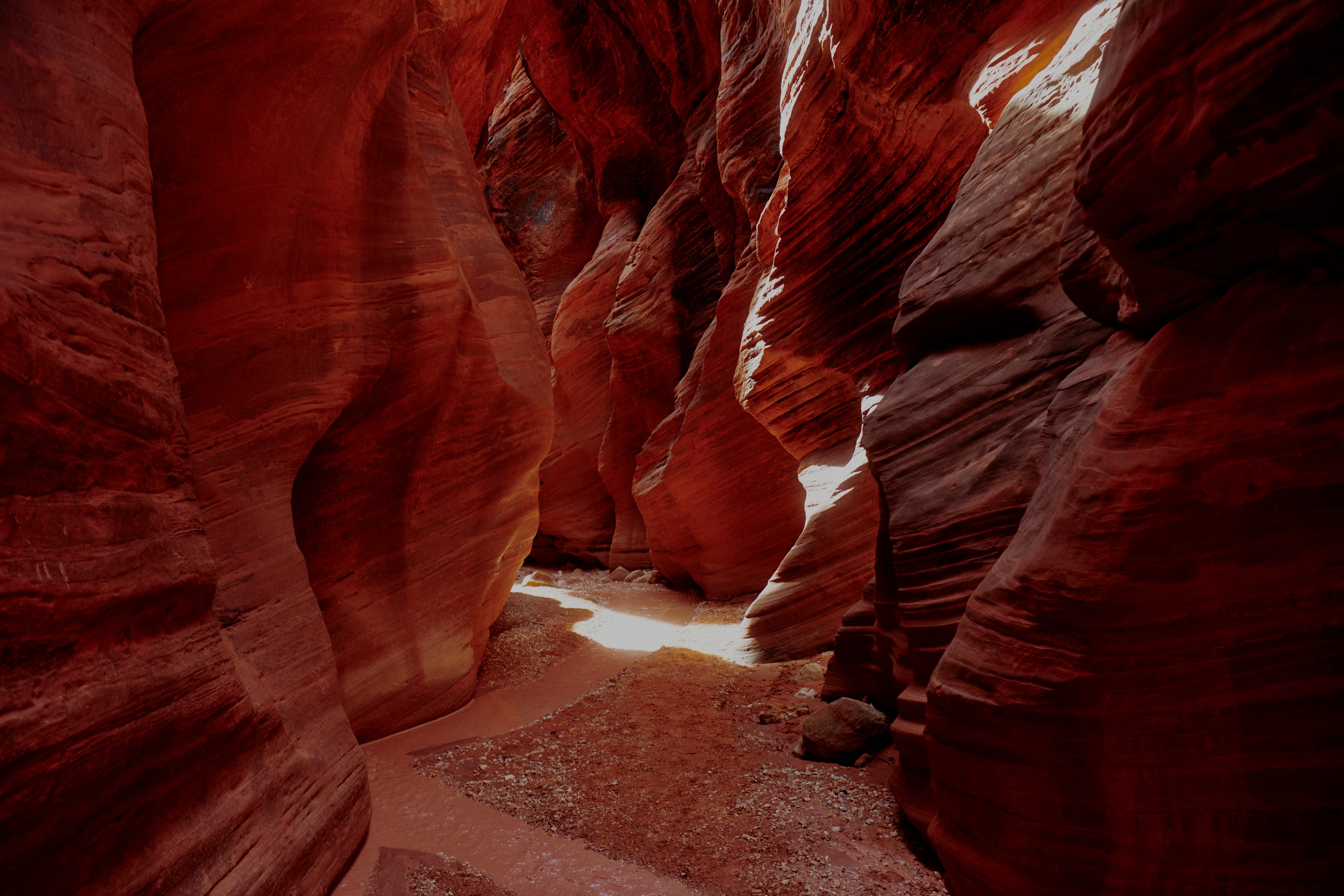
Buckskin Gulch Slot Canyons at Vermillion Cliffs.
FOR HEROIC DRIVES AND SWEEPING VISTAS IN NORTHERN ARIZONA, DON’T LET NATIONAL PARK BOUNDARIES FENCE YOU IN.
As cliche says, you shouldn't miss the Grand Canyon. If you're in northern Arizona, odds are you won’t. That big hole in the ground lures most travelers in this high country, beckoning them to the vistas of the South Rim or the loftier, more remote North Rim.
And true enough, gazing into the famed abyss is an essential American experience. But the Grand Canyon is only the central artery of a vast landscape of canyons, cliffs and curvaceous landforms, to say nothing of the plants, animals and humans living there. Some of these wonders can be visited on pavement. Others require backcountry smarts, good clearance, a spare tire, appropriate planning and a willingness to get rugged. Whether you’re in it for a day trip or a weeklong expedition, these routes will take you off the beaten track in Canyon Country.
Little Colorado River Gorge
If the Little Colorado River Gorge were anyplace but alongside the Grand Canyon, it would be a first-tier destination in its own right—maybe even a national park. As it is, its 3,000-foot cliffs and shadowed limestone depths are are of well-known importance to several Indigenous tribes and play a more minor role as backdrop to plenty of Instagram posts. Alas, it is (metaphorically) overshadowed by its larger, more famous canyon neighbor. Give it the respect it deserves by dawdling on State Route 64 as it wends west out of the small Navajo Nation town of Cameron, where you can fuel up both vehicle and crew at the historic Cameron Trading Post.
Pull over at the two designated scenic overlooks; chat with the local vendors. Eventually, you’ll leave the Little Colorado behind and reach the wider (and here much deeper) Grand Canyon itself.
Stop at the Desert View overlook, at the national park’s east end. Both the Watchtower—built in the early 20th century as an homage to Indigenous architecture—and the nearby ancient Tusayan Pueblo ruins acknowledge the age-old connections between regional peoples and their canyon-cut terrain.
Arizona's Joshua Tree Forest
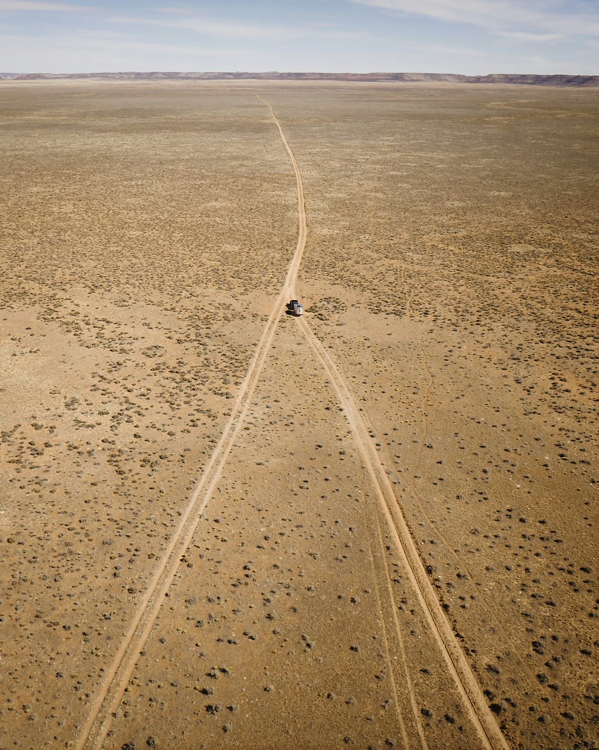
At the western end of the Grand Canyon, the star botanical attractions are spiky Joshua trees, massed in dense stands along Pearce Ferry Road as it winds from U.S. 93 toward the Grand Wash Cliffs, the canyon’s western ramparts. Scorching in summer and often mild in winter, it’s an area rich with boondocking opportunities for those equipped (mentally as well as logistically) for off-grid camping under the purview of the Bureau of Land Management.
Just before the spread-out development of Meadview, Diamond Bar Road splits off to the east. It rises to the higher-elevation reservation of the Hualapai, the “People of the Tall Pines,” where you’ll find the ample commercial attractions of Grand Canyon West, including its famous Skywalk. But when the desert flats aren’t too hot, it’s worth continuing north on Pearce Ferry Road into Lake Mead National Recreation Area. An unpaved spur extends all the way to the Colorado River as it transitions, usually turbid, from Grand Canyon into the Mojave Desert. As a warming climate has diminished the reservoir, the river has cut new pathways through thick sediment, a reminder that geological change doesn’t always take eons.
The Vermilion Cliffs
Enormous but intimate, Vermilion Cliffs National Monument lies at the canyon region’s core. A loop route around the cliffs shows off a spectacular geological layer cake from both above and below.
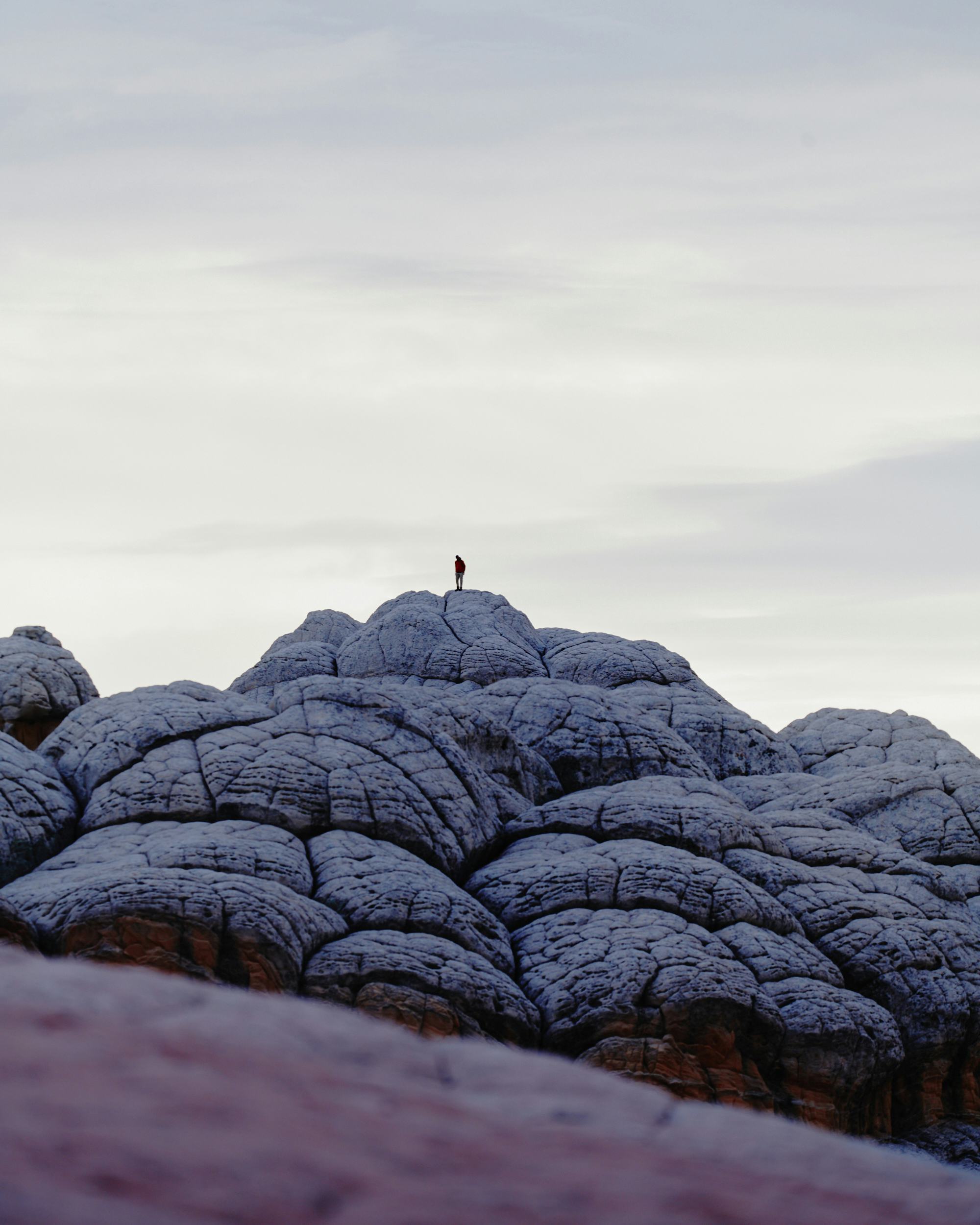
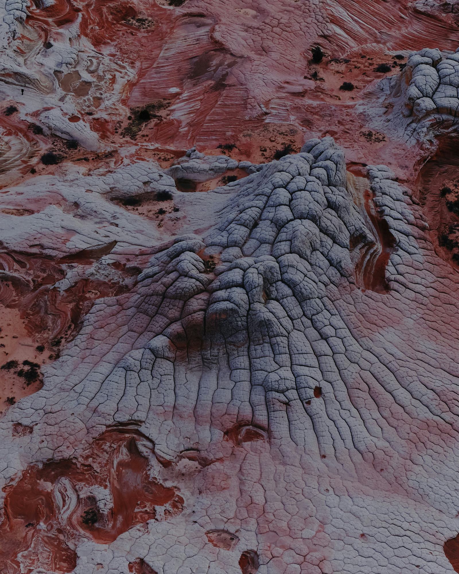
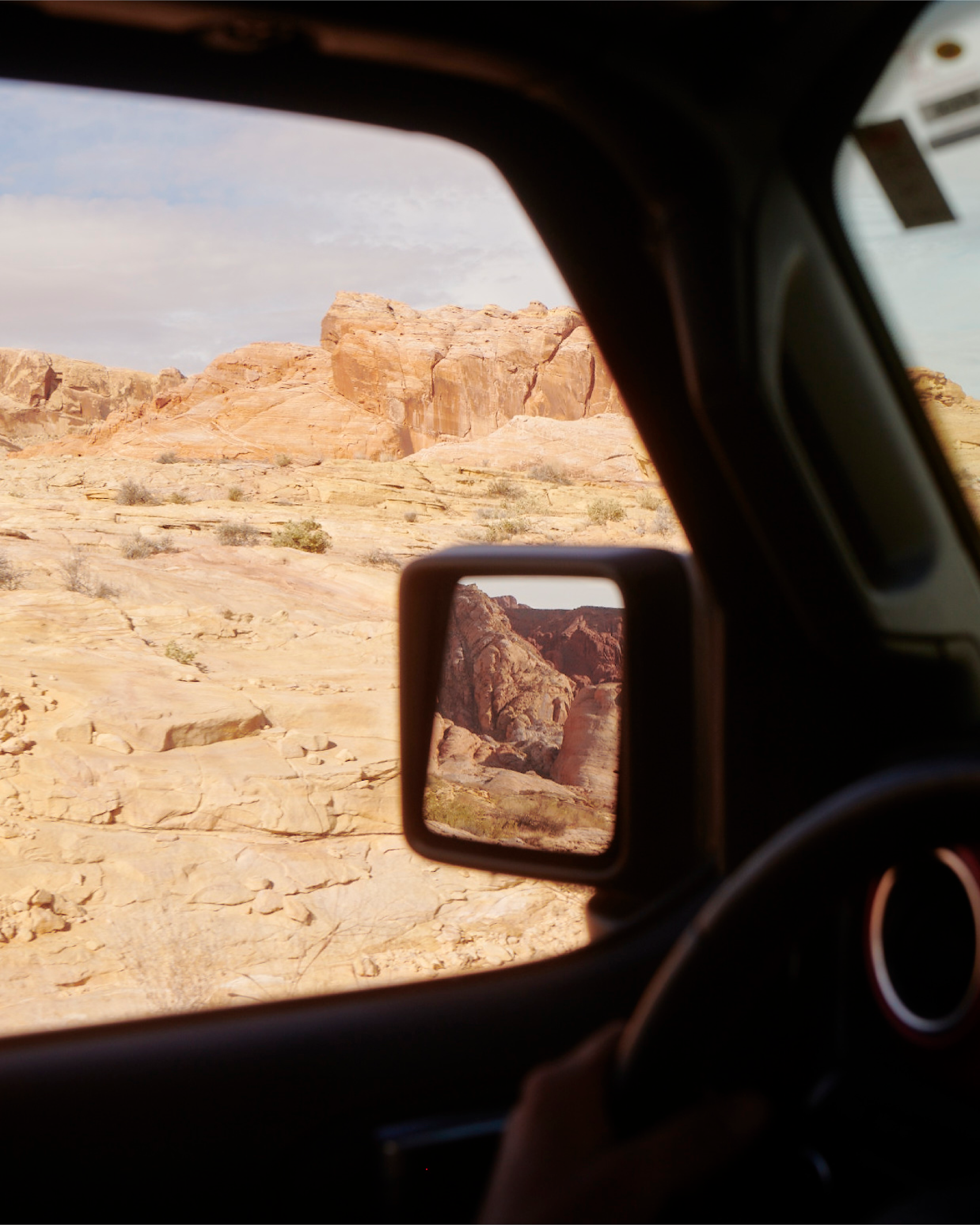
U.S. 89 provides access, but the action’s on two subsidiary roads. With its sweet flat-out expanses of two-lane blacktop, U.S. 89A is the stuff speaker-testing road-trip dreams are made of, while backcountry BLM Road 1065 (or House Rock Valley Road) is a sometimes bumpy, occasionally inaccessible stretch of gravel that reaches some of the country’s true slickrock treasures. Immerse yourself in upper Buckskin Gulch, Coyote Buttes or The Wave (check in advance on required access permits, and be savvy about weather risks). No matter how much time you’ve budgeted, you’ll wish you had more.
Around the Cliffs’ east side, the cozy settlements of Vermilion Cliffs and Cliff Dwellers invite shade- sitting over beer or coffee, admiring the desert light and swapping travelers’ tales. Don’t neglect Lees Ferry, the historic crossing of the waters where myriad passers-by—Indigenous hunters, Spanish padres, Mormon honeymooners, river-runners, scientific “ologists” of all sorts—have hurried or tarried. Hike Paria Canyon or the rugged Spencer Trail, kayak or fish the remnant of Glen Canyon that lies upstream, explore the rejuvenated orchard at Lonely Dell Ranch. Downstream, the Grand Canyon beckons—but the longer you explore here, the less reason you’ll see to go.
The Kaibab Plateau
When summer heat bakes the Southwest, the Kaibab Plateau keeps its cool. The name means “Mountain Lying Down” in Paiute, and its shoulders are broad enough to loft visitors up to 9,000 feet, where groves of spruce and aspen provide welcome shade more than a mile above the sizzling crevasse below.
Most Kaibab adventures begin at the Jacob Lake Lodge, where State Route 67 tees off from scenic U.S. 89A. Be advised that the road’s closed all winter; during wet years, since snow can linger into June. It’s 30 miles through forest and bucolic meadows to the national park boundary, another 14 to the canyon’s edge, but savvy travelers know that leaving the main road before it dead-ends can provide both intimate forest camping experiences and jaw-dropping canyon views.
Road 611 takes only a few miles to make its way to the so-called East Rim, where stellar campsites offer views of House Rock Valley and Marble Canyon. Distances to the rim are greater west of State Route 67, and it’s wise to check on current road status at the Jacob Lake Ranger Station. Forest Roads 22 and 223 meander west to rimtop peninsulas with west-facing canyon views. The wind may be soughing in the ponderosa pines, but you’ll feel the quiet in your bones.
Grand Canyon-Parashant
Before backcountry recreation was a thing on the Arizona Strip, simple backcountry living was. A rugged off-pavement loop through the hinterlands of the Grand Canyon-Parashant National Monument takes you where the storied past of Paiute bands and Mormon settlers brushes up against the present.
The present here needs to be taken seriously: there’s no cell service, nor services of any other kind. Travelers who venture out without water, supplies for multi-day camping and stout tires have found themselves in all kinds of serious trouble. But if you’re prepared, the long, unpaved arc linking Fredonia, Arizona, and St. George, Utah, reaches the pine-clad heights of Mount Trumbull, dramatic Grand Canyon viewpoints, historic sites like the Mount Trumbull Schoolhouse, and more wide-open grasslands and sagebrush plains than pavement-bound travelers can imagine.
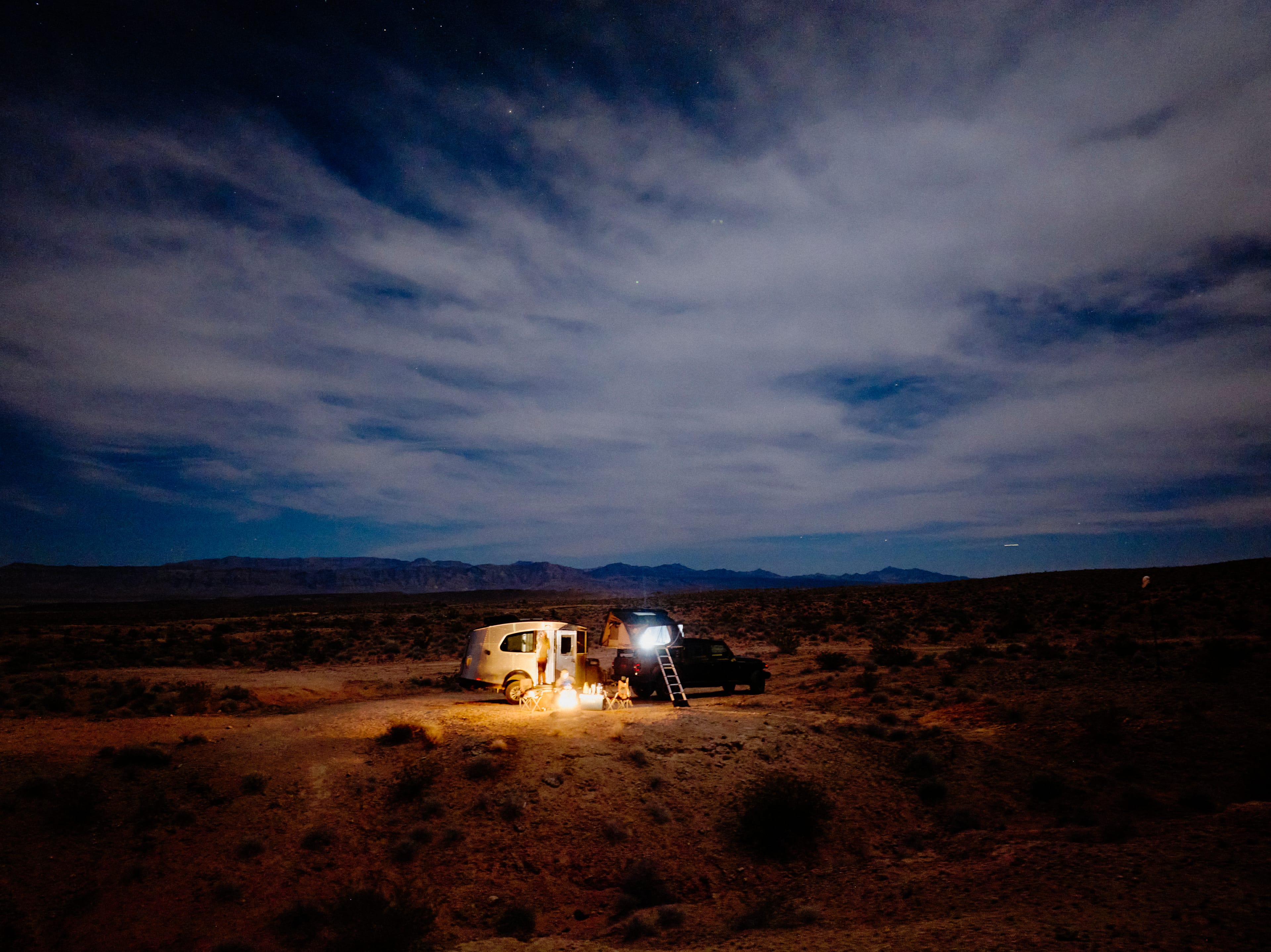
The route? Country Road 109 south from Fredonia, or BLM Road 1069 and County Road 5 south from St. George. Camp in the forested Mt. Trumbull area, or—with a prearranged Grand Canyon National Park permit—at Tuweep, where a rugged road bumping across the flatlands ends at a sheer 3,000-foot drop to the Colorado. And the sight-seeing doesn’t end at sunset: This remote region’s sublime dark skies are among the West’s very best.
Read more like this