

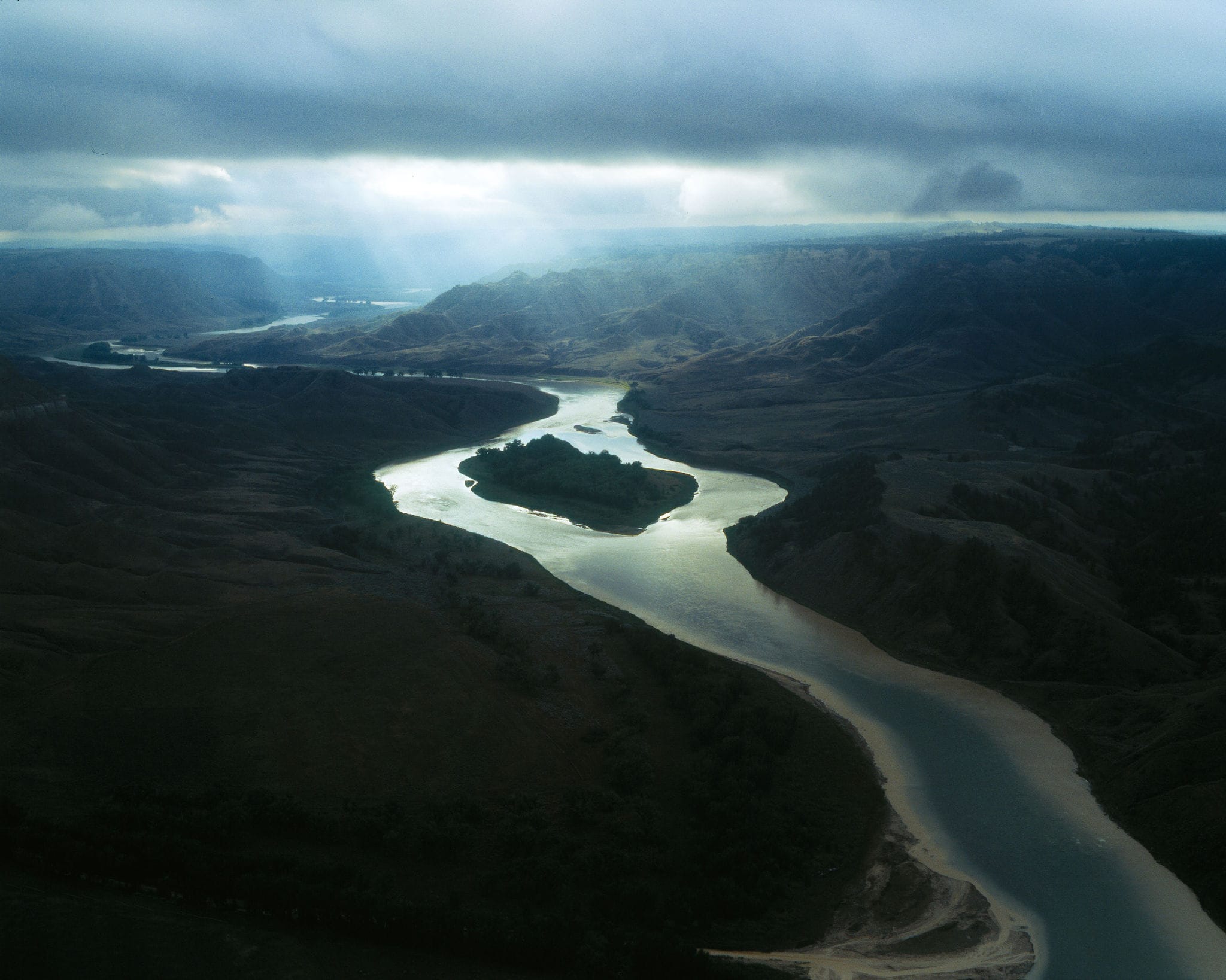
Montana's Missouri Breaks country preserves a wild, far-flung vision of the American West—remote, alluring and, of course, controversial. Journalist Boyce Upholt and photographer Ben Ward set out to find a story as big as the land itself.
Boyce Upholt writes:
There’s a place in Montana, where, more than a thousand miles from its mouth in St. Louis, the Missouri River turns shallow. So shallow that steamboats, in the pioneer days, had to grind to a stop. And where the boats stopped, a military encampment arose. Today, the town is known as Fort Benton and is considered the birthplace of Montana—as a placard declares along the quiet main street. I regarded that sign last summer as, just beyond, the river continued its ancient journey. The breeze carried the dry and earthy smell of sweetgrass.
If the boats saw Fort Benton as the place where the Missouri shallowed, from the river’s point of view, it’s here that its bed deepens. For several hundred miles, as it’s made its slow descent, the river has traversed a land of hardpacked glacial flats. Here, it cuts into ancient seabeds—softer, more easily eroded. The result is a wild maze of coulees and canyons, the country known as the Missouri Breaks. I’d come to enter that country, to watch the plains unravel.
I had several motivations. For one, I’d been talking with people who are undertaking one of the world’s most ambitious conservation projects here, in the Breaks. A nonprofit called American Prairie wants to create a 5,000-square-mile wilderness reserve, a vast, sprawling prairie, that, open and unfenced, will host freely ranging bison. For twenty years, this group has been buying parcels that sit alongside federal land, stitching together an expanse of public and private property. It’s a Frankenstein landscape that upends the standard notion of a “national park”—and that has attracted endless controversy. (In the months after my visit, in fact, the project sparked the ire of the Trump administration, which revoked the leases allowing the nonprofit to run bison on federal land. The situation will continue to evolve.)
My second motivation may be best explained by describing my stop at Fort Benton’s single bookstore, a maze of paperbacks built into an old brick warehouse. The owner, Tom, emerged from the back—shirtless, dabbing himself with a towel—to explain that I’d have to pay with cash because the phone company had cut his line. I had already found one book about American Prairie and its bison controversies, I asked Tom for recommendations about what else to read while I traversed the Breaks, and he suggested first several classics on Meriwether Lewis and William Clark, who spent a few weeks in the region on their grand adventure, then listed off novels and memoirs set further west amid Montana’s mountains.
The list of national parks doubles as an official, congressionally enshrined canon of truly American Landscapes. The Great Plains are not part of the pantheon. The region is the least-represented within our system of national parks, and I like to look at the landscapes that everyone else ignores. If even Tom couldn’t seem to see the Breaks as having their own story to tell, then it was a place I wanted to see: as middle of nowhere as you can get.
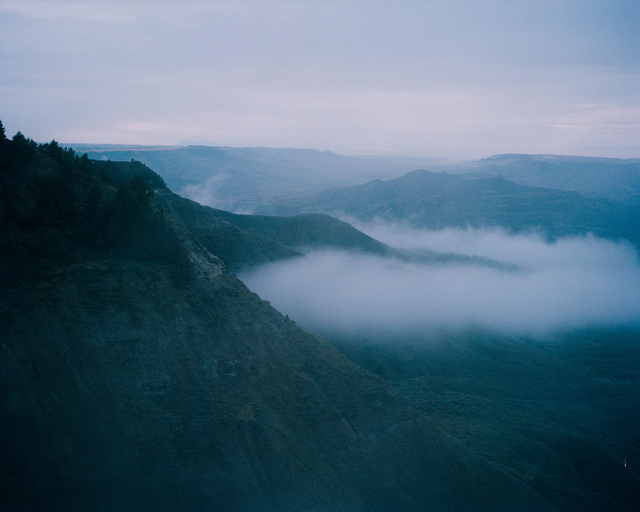
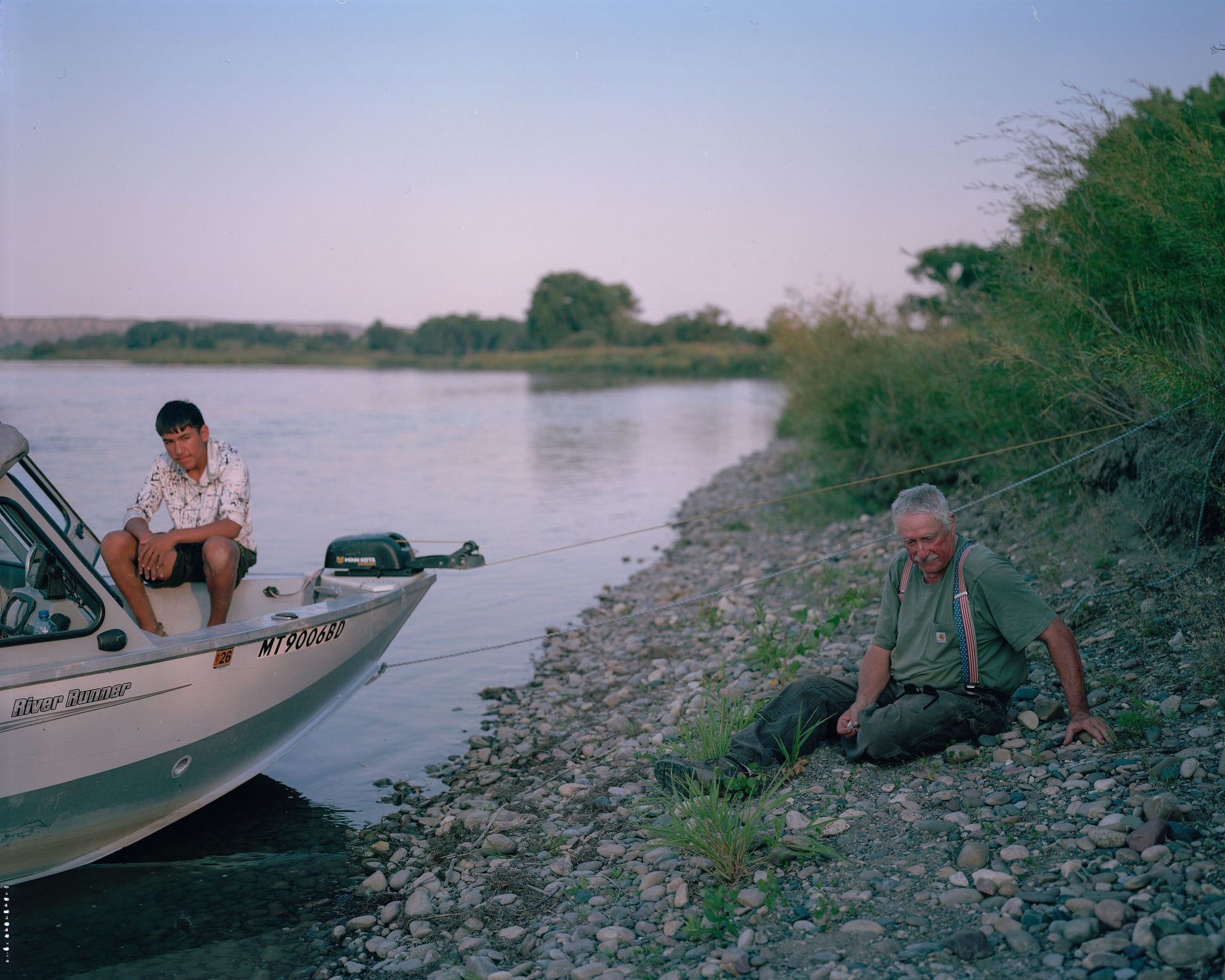
The modern Missouri River is a workhorse of a waterway. Its bends are mostly straightened, its flow stalled by six sprawling dams. But all that is downstream. Here in the Breaks, the Missouri is officially classified as “wild and scenic”—still free-flowing and mostly unmarked by human interventions. My plan was to spend three days canoeing and camping along the wild river, paddling my way into American Prairie’s property, then switch to a rented truck for a few more days driving the reserve’s dirt roads. So, after an afternoon securing supplies and an evening wandering the neon lights of the downtown saloons in Fort Benton, I stopped by the office of Missouri River Outfitters to secure my canoe.
That name for this place—the Breaks—is apt, since the plains here are literally broken. They drop downward and inward into a long, unfurling crease. The Breaks are an extended river gorge, stretching nearly two hundred miles, that was carved 12,000 years ago, as the ice ages ended and liquified glaciers poured down from the Rocky Mountains.
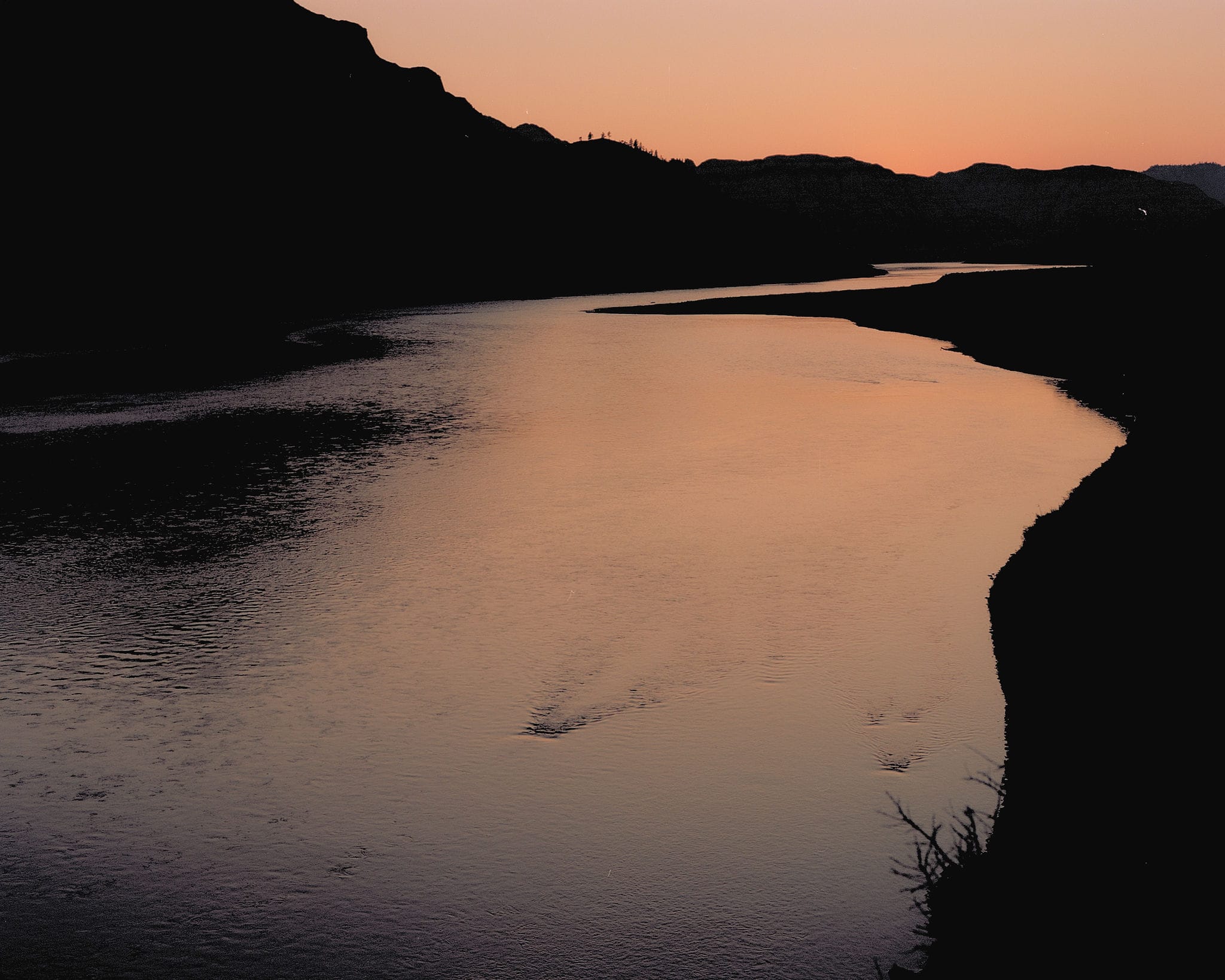
That may make the place sound dank and subterranean, but as I arrived at my planned put-in, Coal Banks Landing, the Breaks appeared as a sudden explosion of life. The plains above—an endless roll of dry, sere grasses—tumbled down into rumpled hills topped with ponderosa pines. Then, down, on the riverbanks, cottonwoods grew in stately rows, their yellowed leaves shivering in the slight wind. Explosions of sagebrush stood atop the ridges built from river mud. Squint past the cows that patrol the riverbanks—a species we delivered here 150 years ago—and you see roughly the same river that Lewis and Clark did in 1805.
The historian Stephen Ambrose, in his momentous and bestselling account of the expedition, describes in a footnote the great beauty of this region; to the extent that tourists come here, they tend to want to follow in the explorers’ footsteps. It’s rather ironic, in that Lewis and Clark themselves seemed to despise the Breaks. What they’d loved were the more eastern Great Plains—which offered a “wonderland,” Lewis wrote, and were “beautifull in the extreme.” His notes are filled with long lists of the animals their crew encountered: buffalo, elk, antelope, deer, wolves.
In the Breaks, though, all that life was inaccessible—far atop the bluffs, as much as 300 feet tall, that enclosed the river. It did not help that spring had turned toward summer. The sun blazed, the air went dry. The rocks in the river seemed to either be sharp enough to injure or covered in a mud slick enough to make the expedition’s watery upstream march a slog. Clark dismissed the Breaks the “Deserts of America” and predicted that white Americans would never find a way to settle here.
“But, once I arrived, I came to understand that the chief pleasure of the place is its lack of blazed paths. You have no plan, because you cannot plan. You simply wander.”
There were a few triumphs: When they ascended the bluffs, Lewis and Clark managed to spy the Rocky Mountains for the first time. A few dozen miles downstream of the valley that would become Fort Benton, the men encountered an unexpected fork in the river, one that none of their Indigenous correspondents had warned them about. Lewis spent a week reconnoitering and deliberating, and ultimately chose the correct river, and so the crew traveled westward, up into the mountains and beyond to the Pacific.
That moment is celebrated on the cover of the edition of the journals that I’ve lugged around with me for almost twenty years: it’s a painting of the river at “Decision Point,” twisting through the brown badlands of the breaks. A small river, really, several eons past those turbulent glacial years—a mostly-peaceful thing, almost too small for the yawning expanse of the Breaks. I soon discovered that this was not a float for a thrill-seeker. Even the stretch that was labeled on my map as Deadman’s Rapid consisted of little more than a few soft riffles.
The main lure, besides memories of the great explorers, is the strange landscape—the White Cliffs, as this stretch has become known, for its preponderance of sandstone. The rock has been carved by wind and water into, as Lewis put it in his journals, “a thousand grotesque figures.” He saw in their shapes echoes of human architecture: columns and parapets and pedestals, and, in the sheets of dark volcanic rock, the crumbled ruins of ancient obsidian castles. Through the years the rocks have accumulated names that thrust a paddler into a fantasy novel: you pass first Citadel Rock, and then the little peak of Dark Butte, which is protected in front by the stretched sandstone wings of Archangel.
When I’d asked about potential hikes, the canoe outfitter had circled several of these rocks on the map. I’d been confused at first, because she said nothing about trails. But, once I arrived, I came to understand that the chief pleasure of the place is its lack of blazed paths. You land the canoe, and then you make your way over the dry grass that rises from the riverbanks, cut through by game trails, which split and split again, offering endless routes up and down the hills, into the crumbling bluffs. You have no plan, because you cannot plan. You simply wander.
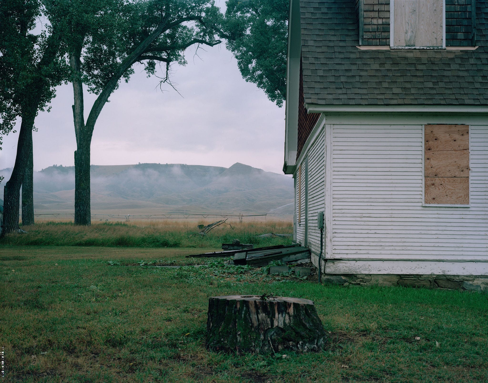
Despite Clark’s predictions that the Breaks would never be settled, Americans—inevitably—tried. The first arrivals were mostly a rough-and-tumble sort, whiskey runners and bone-pickers, as the men who collected the skeletons of shot bison were known. A few decades later, when a rush of homesteaders arrived on the western prairies, they found the Breaks to be a rare place wet enough for farming. Clark, it seemed, was wrong.
But up above, on the plains proper, the agricultural economy quickly went bust, making it hard for the farmers below to hold out. Then, in the 1940s, the federal government bought up many of the best river bottoms to build a massive dam. The land around the Breaks is mostly owned by ranchers now, used as a place to graze their cows. In terms of humans, this remains one of the planet’s emptier places. The ghost towns and crumbling cabins have become a part of the landscape, marked on the maps. Though on that first afternoon, when I landed my canoe to search for an old homestead, all that was left were the modern placards that interpret the site—and they were so battered by the sun and weather as to be entirely illegible.
Two days later—after long days of paddling, and cool nights filled with the distant chittering of the coyotes—I crossed beneath a highway bridge near the mouth of the Judith River. Here, the White Cliffs give way to the rolling, broken, pine-top hills that typify the rest of the Breaks. The land on the river’s south bank is a part of American Prairie’s PN Unit—a historic ranch that the nonprofit has purchased and is slowly restoring.
Lewis and Clark spent a night just downstream of the landing. I figured I should pay my respects, but the shuttle driver who’d come to retrieve me told me the camp site is on private property, and that the owner has had a falling-out with the government. So I found a locked gate and a no trespassing sign. There were other signs, too, that I saw the next morning, as I embarked a long, slow loop, driving the dirt roads that cross and parallel the Missouri River. The signs featured two silhouettes, a man and a boy, both wearing cowboy hats, sitting on a fence rail amid a pastel-sunset blaze.
Save the Cowboy, they declared. Stop American Prairie Reserve.
Almost thirty years ago, a coalition of conservationists conducted a study, seeking some tract of grasslands that might be a suitable site for restoration—somewhere where there were already public lands, where some grasses remained unplowed and native species persisted. They eventually settled on one promising expanse: the prairie that surrounds the Missouri River Breaks. The fact that farming never really took hold here meant that much of the old ecosystems remained. It didn’t hurt that the Breaks were an empty place—and growing emptier. Their study helped seed the idea of the American Prairie, the nonprofit that for two decades now has been buying up land to assemble its ambitious reserve.
If the nonprofit’s approach does not quite critique the idea of national parks, it suggests, at least, that such officially designated parks are only one of many possibilities for how we preserve and protect our landscapes. But if the idea behind the reserve is deeply American—buying land on the open market—it is, nonetheless, deeply uncomfortable in this iconically American place. Since the project has been funded by, among others, the billionaire Mars family (of candy fame), it’s been described by some critics as a massive tax-avoidance scheme. Many locals worry American Prairie is swallowing up the last vestiges of the classically American cowboy life—rich outsiders intentionally changing the nature of this place.
It is worth noting that the idea for a park in this place is hardly new. In the 1830s, when the painter George Catlin traveled the Missouri, he—like Lewis and Clark—was struck by the beauty of the grasslands, especially the great herds of animals moving across the terrain. The site inspired a new concept: the grasslands ought to be “a nation’s Park,” Catlin later wrote. He wanted them protected by the government as, in essence, a sprawling zoo. Catlin’s idea was ignored—too wacky, perhaps—and instead, the bison were hunted to near-extinction, a strategy to help drive the Native people who hunted them from this land. By the end of the nineteenth century, when the government actually did begin creating what Catlin called for—"national parks,” they’re called now—the plains were already pockmarked with private property.
Remember, though, that the government purchased land in the Breaks in the 1940s to build the Fort Peck Dam; that land was later turned into a preserve, known today as Charles Russell National Wildlife Refuge. It’s already the largest expanse of public land anywhere on the Great Plains. In the 1990s, a few years shy of the bicentennial anniversary of Lewis’s and Clark’s great voyage, there was talk of expanding the refuge and turning it into a national park. When that idea rankled locals, the Clinton Administration created a “national monument,” a designation that bypasses Congress entirely. Not long afterward, the idea of the American Prairie reserve was born. Private money would finish the job, it seemed.
The signs protesting the project went up almost immediately. Over the last few years, the Montana governor’s office has joined the opposition. Then, several months after my visit, the Trump administration intervened, too, threatening to evict the nonprofit’s bison from federal land. Critics call all these anti-bison interventions a kind of pandering. It’s all just outsiders, dragging this otherwise overlooked landscape into our national political fights.
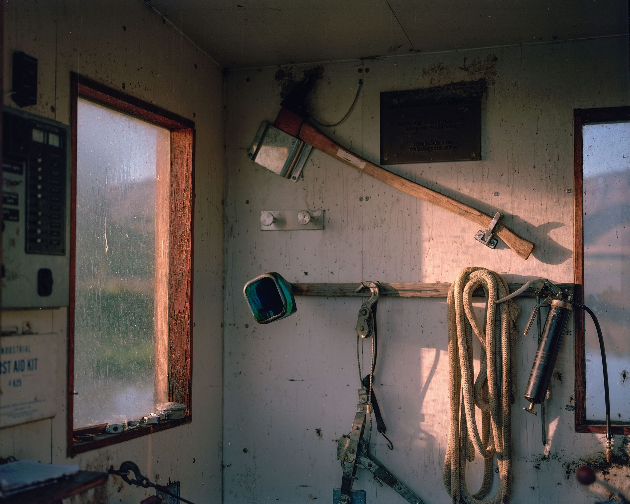
Forty-five minutes into my drive, when I arrive down at the Stafford Ferry—cable-powered, funded by the county so that locals can cross the river free of charge in this remote section—the operator, Tom, asks me my plans for the day. “Nice day for a drive,” he says, before advising that I not mention American Prairie to any of the ranchers I meet along the way. It’s advice that I decide to follow. I want to look past the fights, anyway, to get a measure of the land itself.
“Once I arrived, I came to understand that the chief pleasure of the place is its lack of blazed paths.”
On my days on the river, I’d run into two other canoes, both piloted by college kids out for their own trek. They, too, were paddling through American Prairie’s property. But when I mentioned the project, they told me they’d never heard of it. (They’d come, they noted, to follow in the footsteps of Lewis and Clark.) It struck me that, perhaps because American Prairie isn't a national park—because it's not on the list—it remains at the margins of attention, even for young people seeking out wild places.
The full reserve, if it’s ever established, will span 3.5 million acres—a space large enough for the bison to return to their epic migration. These are a keystone species: If you want to restore the ecosystem here, getting them back on the land is essential. Another way of seeing this is that the prairie’s ecology depends on movement, that without big beasts traversing long distances, the landscape here cannot be fully itself.
That is not to say the place should be empty of people. Indeed, American Prairies wants people to spend time here, falling in love with the place, so that they’ll fight to protect it. The organization allows the public to access all of its properties; just before I’d arrived, the group had closed on the purchase of a large ranch which, for almost two decades, had cut off access to a large chunk of the wildlife refuge. Now the road is open to anyone.
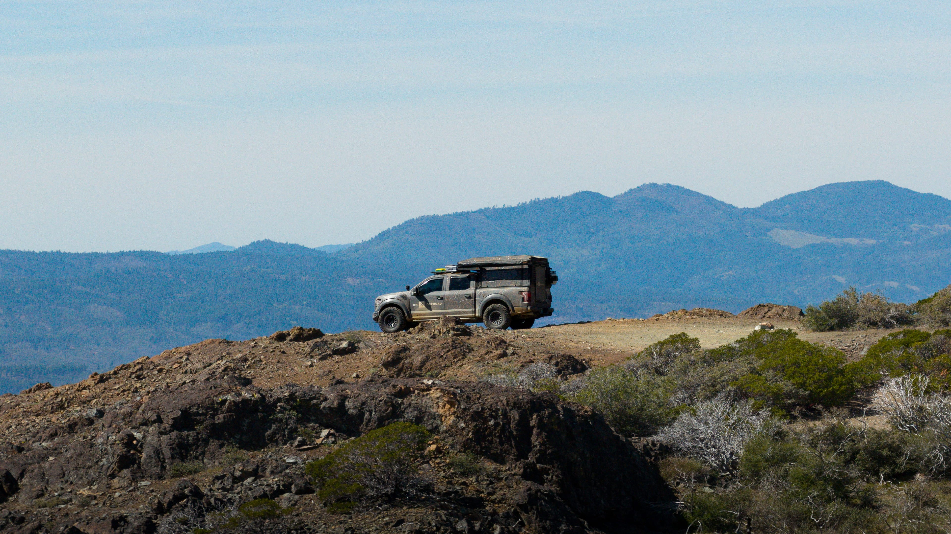
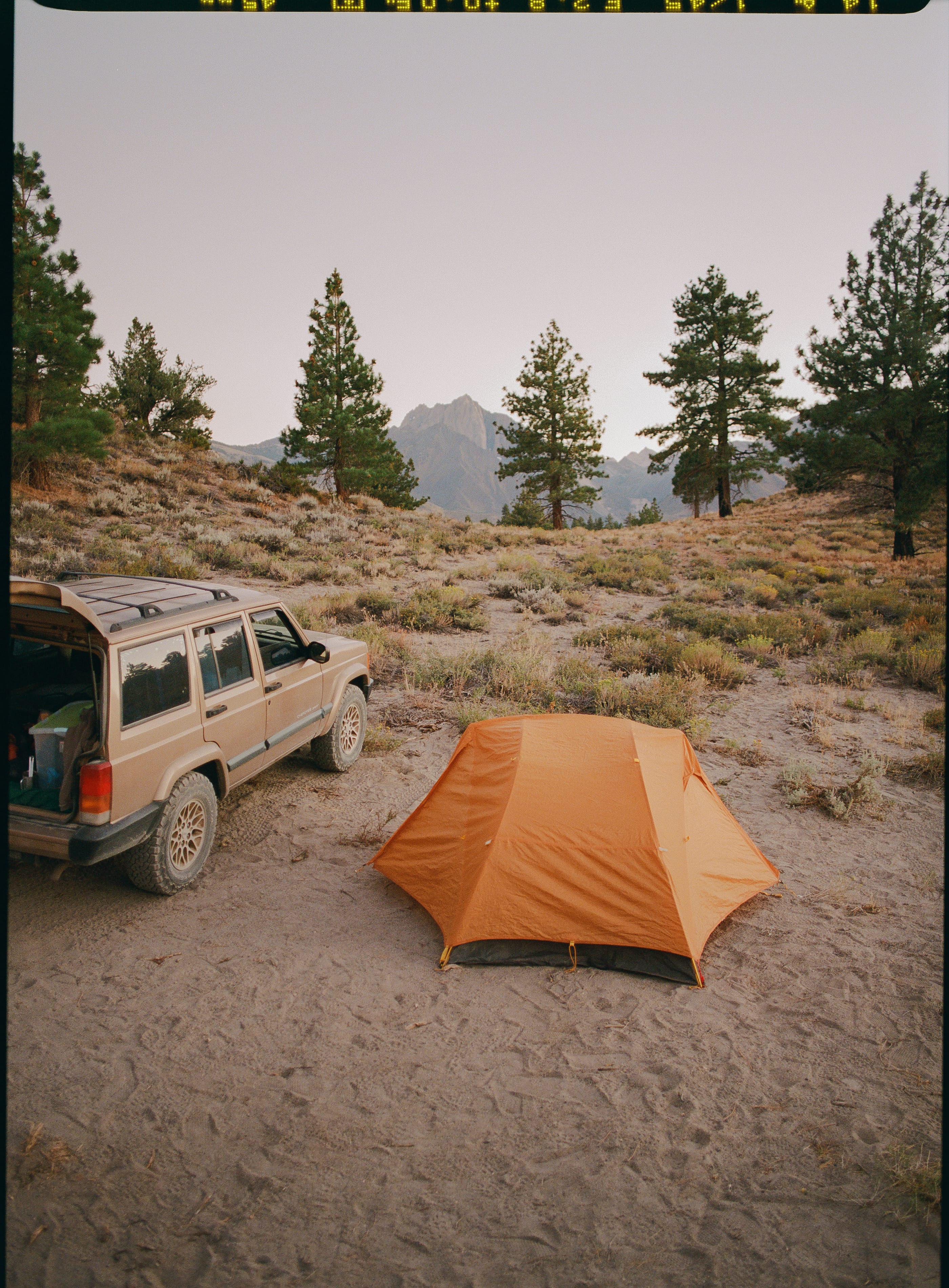
In this vision people will, like the bison, be transient, staying in the campgrounds and cabins that American Prairie has built across their land. (My own basecamp was an off-the-grid yurt owned by the nonprofit. I’d received the house rules by email a few days earlier: Don’t shoot your guns within a quarter-mile of the hut. No hanging or cleaning game from the porches. And, in urgent, bold letters: don’t forget your bear spray.) Paul Kemper, a marketing manager for the preserve, indicated that some visitors get confused when they arrive. Where’s the trail map? Where do you park the car? “There is no trail,” Kemper explained. “It’s—you can drive your car here. The rest you can walk on or ride your bike or ride a horse. So there’s a lot of build-your-own-adventure.”
Frankly, I had been confused, too, before I came, as I studied the maps. The place was a hodgepodge: some parcels were marked as American Prairie’s property; others are public, managed by varied agencies. But once I arrived and began my drive, I quickly realized that these are all just lines on the map. On the ground itself, everything was just, well, land—interconnected, forever unfurling.
In the late winter of 1805, Meriwether Lewis was camped on the eastern edge of America’s shortgrass prairies, several months and several hundred miles from arriving in the Missouri Breaks. He was excited. As he noted in his journals, he was about to enter a territory “on which the foot of civillized man had never trodden.”
Let’s forgive, for now, his dismissal of people who had lived on these prairies for thousands of years. Focus, instead, on that thrill of imminent discovery: Lewis had no record to consult about what lay ahead across the prairies. He was about to enter the unknown. That helped make the moment become “among the most happy in my life,” he wrote.
During my own days of driving through the Breaks, I found myself recalling these lines again and again.
Every old travelogue describes the prairie like a kind of ocean, and that’s for a reason: All there was to notice is just the ever-changing texture of grass, rising and falling like waves. But then, suddenly, I’d return to the badlands, the Breaks, which crumbled down into the leafy creek-bottoms. Then the road would rise again. Inevitably, eventually, I found myself on some highway that led to some small town, maybe just a crossroads.
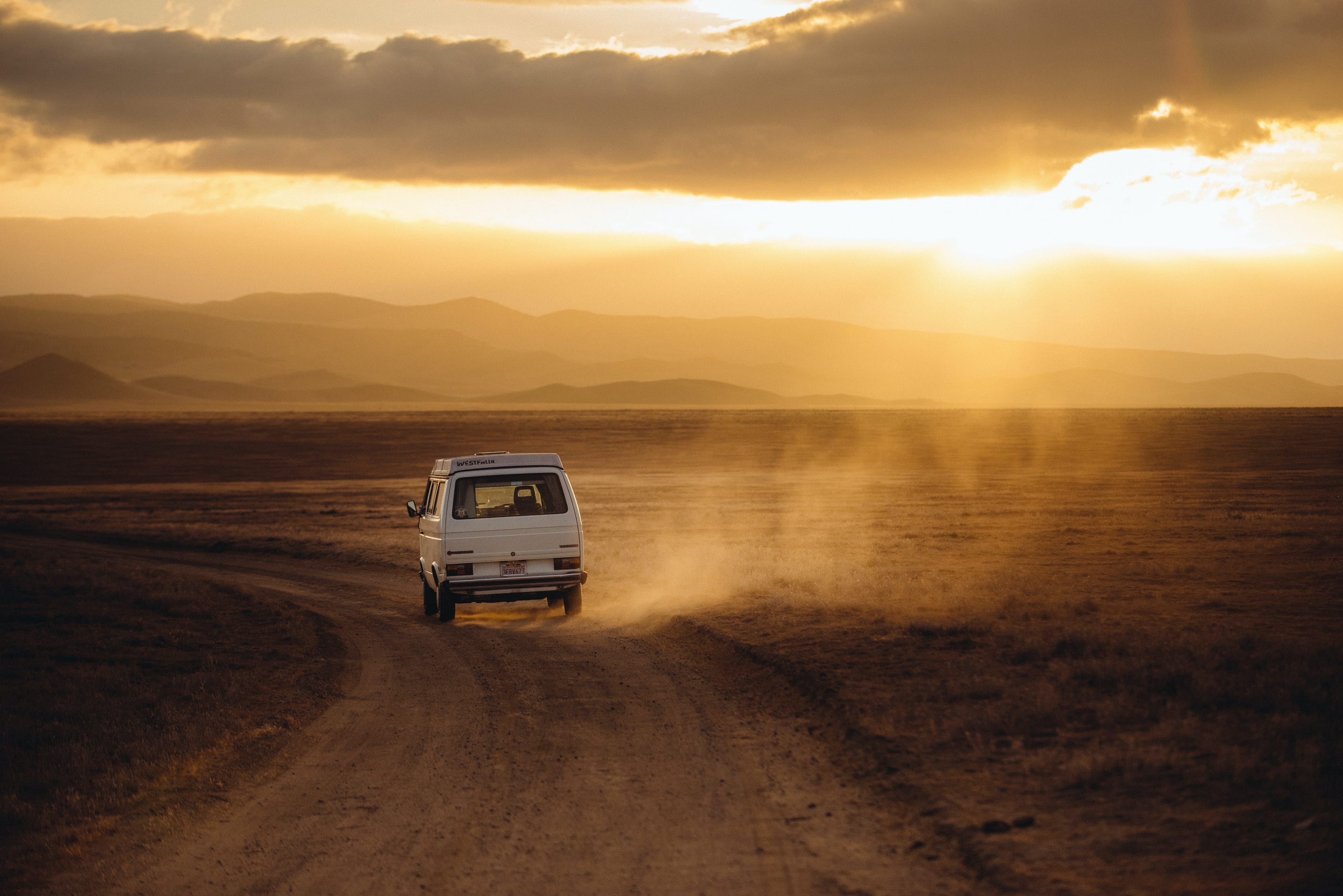
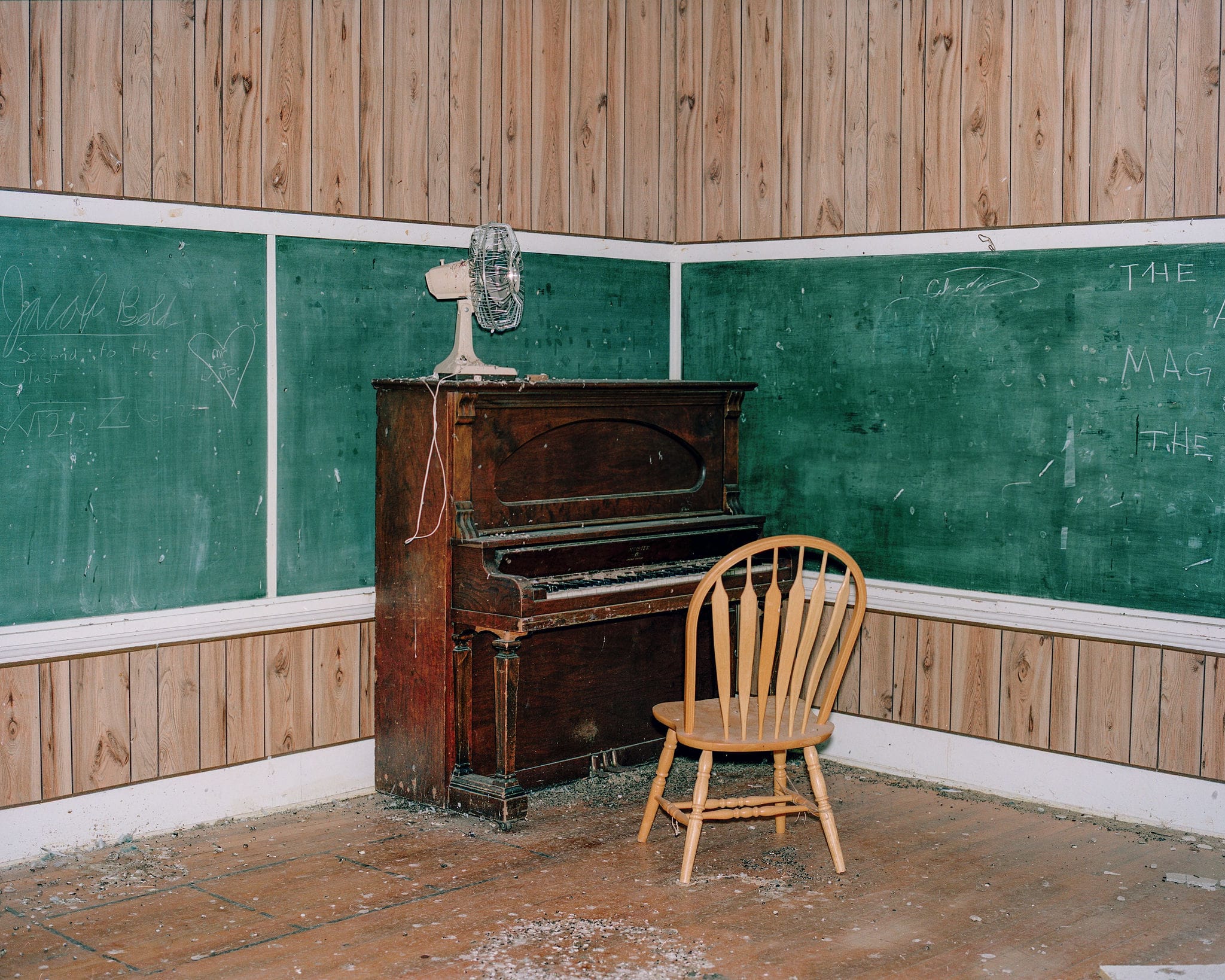
I had no plans. It was hard to make a plan, because so few visitors had passed through. Google Maps was absent of any reasonable data about what I might find. Eventually, though, I learned that wherever I arrived, there would always be some small pleasure. Down in the Breaks, in a coulee, along the banks of a creek, it might just be a stand of cottonwoods, regal and beautiful. Up in the prairie, I saw one elk, alone, out on his own long wander. I stopped by an empty schoolhouse that had been abandoned so long that pigeons had taken over. In the ranch town of Big Sandy, I enjoyed a good IPA and a hulking jalapeño cheeseburger inside a bowling alley that’s decked out with pinball machines and taxidermied deer heads.
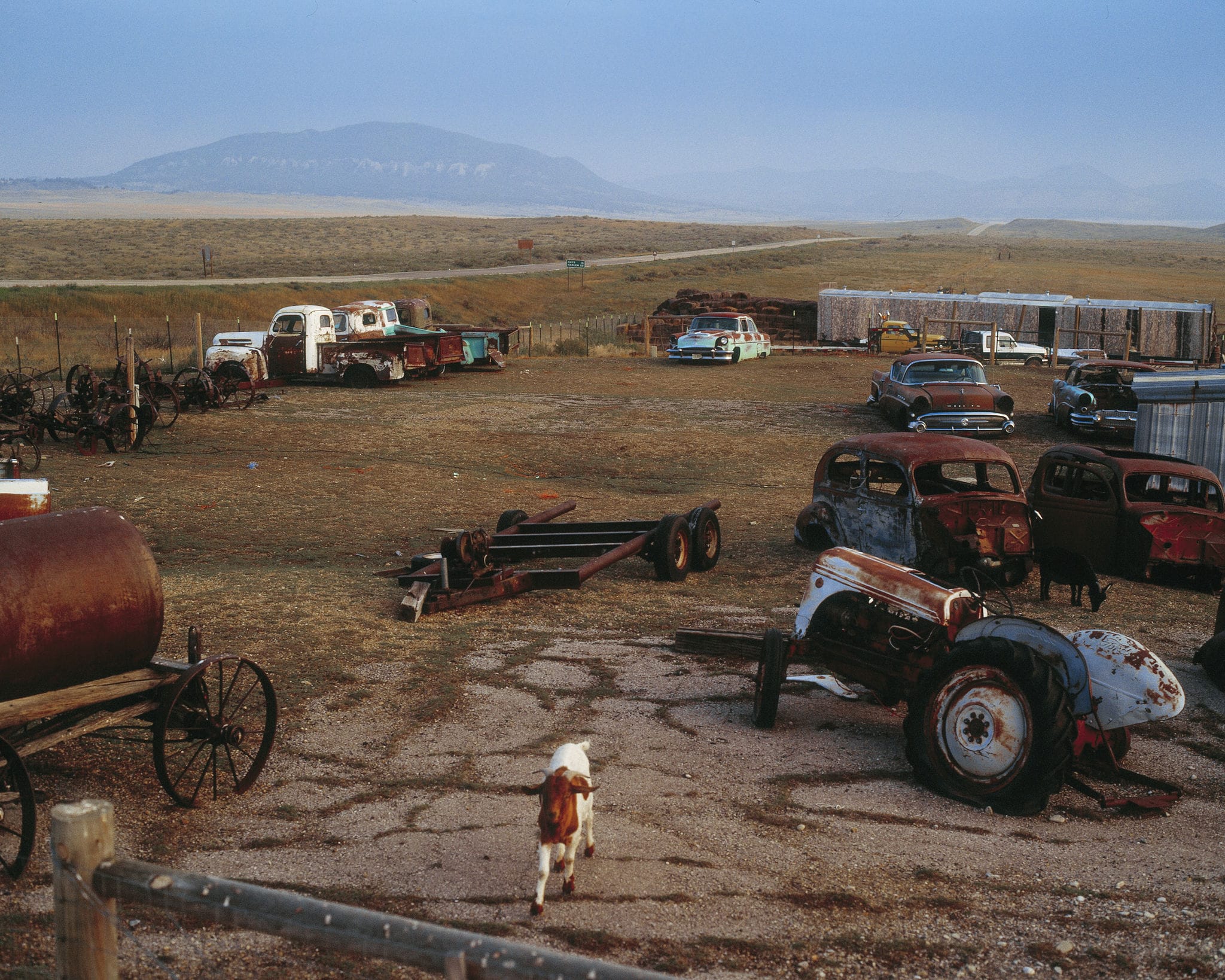
To the west, in DY Junction, the ragged fencing and menacing dogs outside the DY Store made me a bit nervous—but, thirsty, I overcame my hesitance and so, inside the store, wound up meeting a pygmy goat named Gaia who leapt up to greet me, placing her front feet on my thighs. “Oh, it’s lunchtime,” the store proprietor said, explaining the goat’s beseeching demeanor.
Every night in the Breaks, after I returned to my yurt, as night fell, I found myself drawn to a blufftop, where I could look down on the Missouri. I sat there as the sun set and the stars arrived. Slowly, then, the river disappeared into the night. The blackness turned complete.
I’d think about Lewis’s own nights out here, how he saw the same dark. He was on a mission to build a new nation. But it seemed like what really got him going was just the thrill of discovery. Seeing beauty that he otherwise would never have known.
Lewis was wrong, of course, that no civilized feet had ever walked across these prairies, or down into the river’s ravines. The place was simply not known to him. But that was enough to thrill. And today, again, it’s known to few of us. Which is what most recommends the place: There’s a coulee to wander, a field to cross. A dirt road that leads down to the ancient river. Many paths to choose from, none chosen for you—and none of them wrong.
Boyce Upholt is a writer, editor, and “nature critic” who lives in New Orleans. His magazine writing has won two James Beard Awards, in investigative journalism and feature reporting, and has been noted in the Best American Science and Nature series. He is the founder and editor-in-chief of Southlands, a biannual print magazine exploring the culture of nature in the South, and a contributing editor to the Food & Environment Reporting Network. His first book, The Great River: the Making and Unmaking of the Mississippi, was a national bestseller and the winner of the 2024 Willie Morris Award for nonfiction.
Ben Ward is a Colorado-based American photographer and director. Ben’s photography focuses on a documentary approach to the human experience and the changing social and environmental landscape of the American West.
Like What You See?
Get the latest stories, plus details (and discounts!) on Wildsam field guides, sent right to your inbox.