

Digital Guides
National Forests
& Grasslands
PRESENTED BY National Forest Foundation
The American landscape—a marvel of sun-washed canyons and lush river valleys, soaring mountain ranges and golden deserts—is linked by its forestlands.
Our National Forests trace the contours of our country’s history. They provide us with boundless opportunity to engage with nature, keep body and minds healthy, and are the setting and sources of treasured memories. The ways we enjoy National Forests are as wide as our forests are vast. Being among the trees, these unique and richly biodiverse forest spaces, can teach us how to pay attention—to experience beauty and connection. It brings us home to ourselves.
At A Glance
Scope
193 M acres of public land knit together in an extensive system
154 national forests
20 national grasslands
170+ National Forest Foundation staff members operating across 44 states
Impact
$15 B contributed to the U.S. economy each year via the jobs, natural resources and recreation opportunities national forests provide
170 M visitors annually
$115 M deployed by National Forest Foundation for more than 400 projects across 100 national forests in 2025
NFF Conservation
56 M trees planted in national forests
1.9 M acres treated to reduce wildfire risk
1 M acres revitalized through watershed restoration and wildlife habitat projects
41,000+ miles of trails improved
Forest Ecologies
Temperate Rainforest
Tongass, Chugach, Olympic, Gifford Pinchot
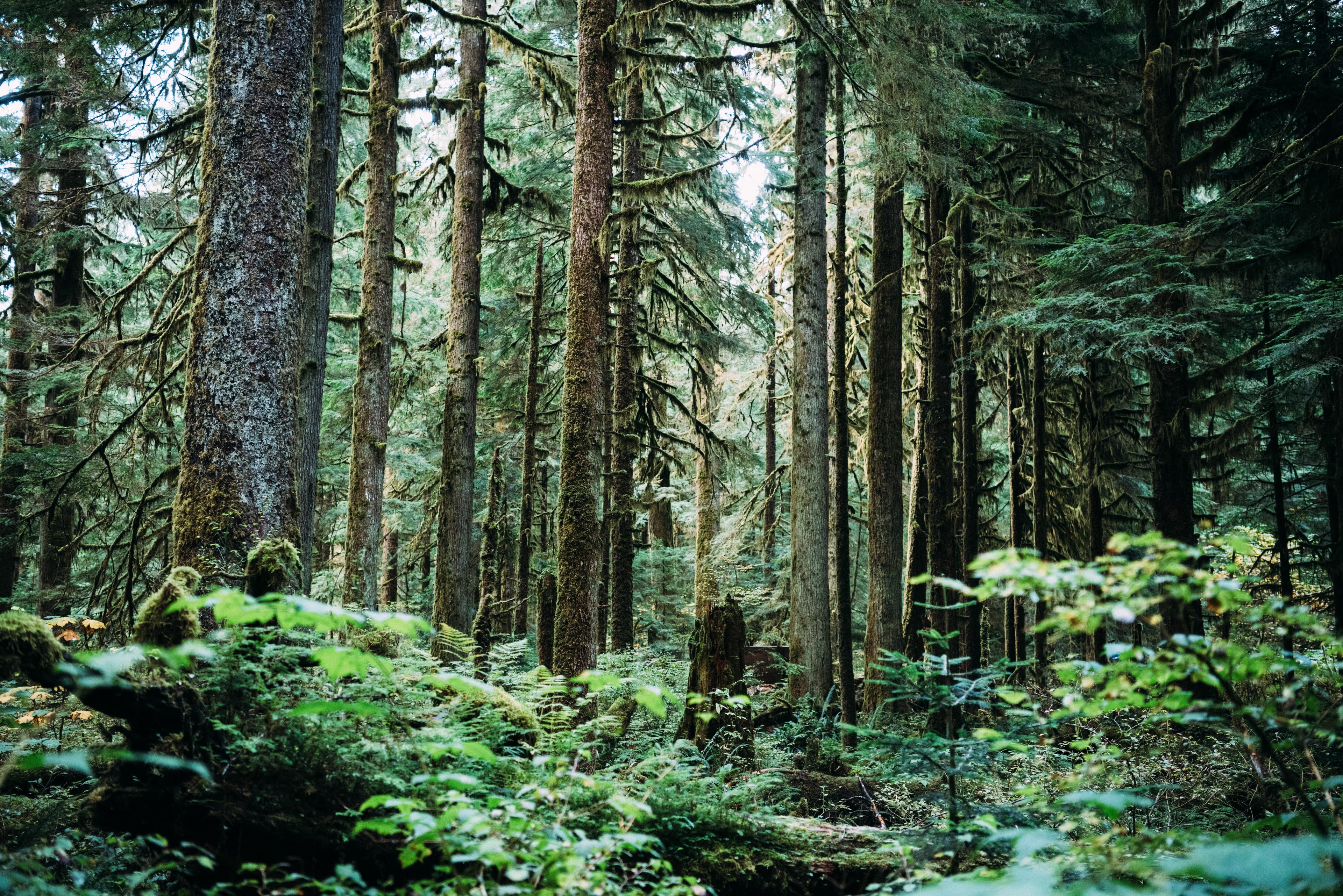
Coastal temperate rainforests are systems of cedar, spruce and hemlock draped in moss and lichens: think constant rainfall and a lush understory. Fallen logs incubate new life, streams teem with salmon.
Alpine & Subalpine
White River, Bridger-Teton, Sawtooth, Flathead
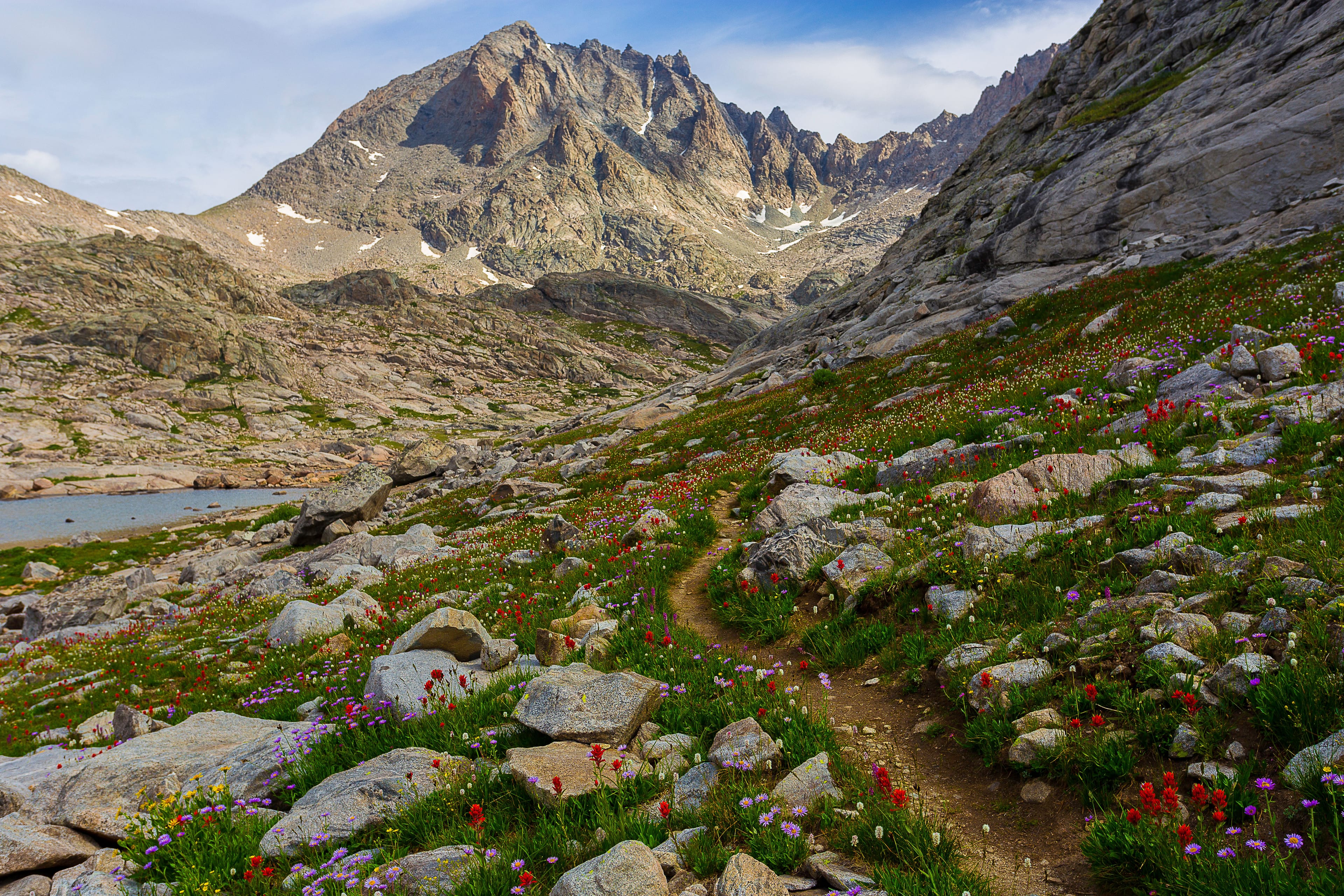
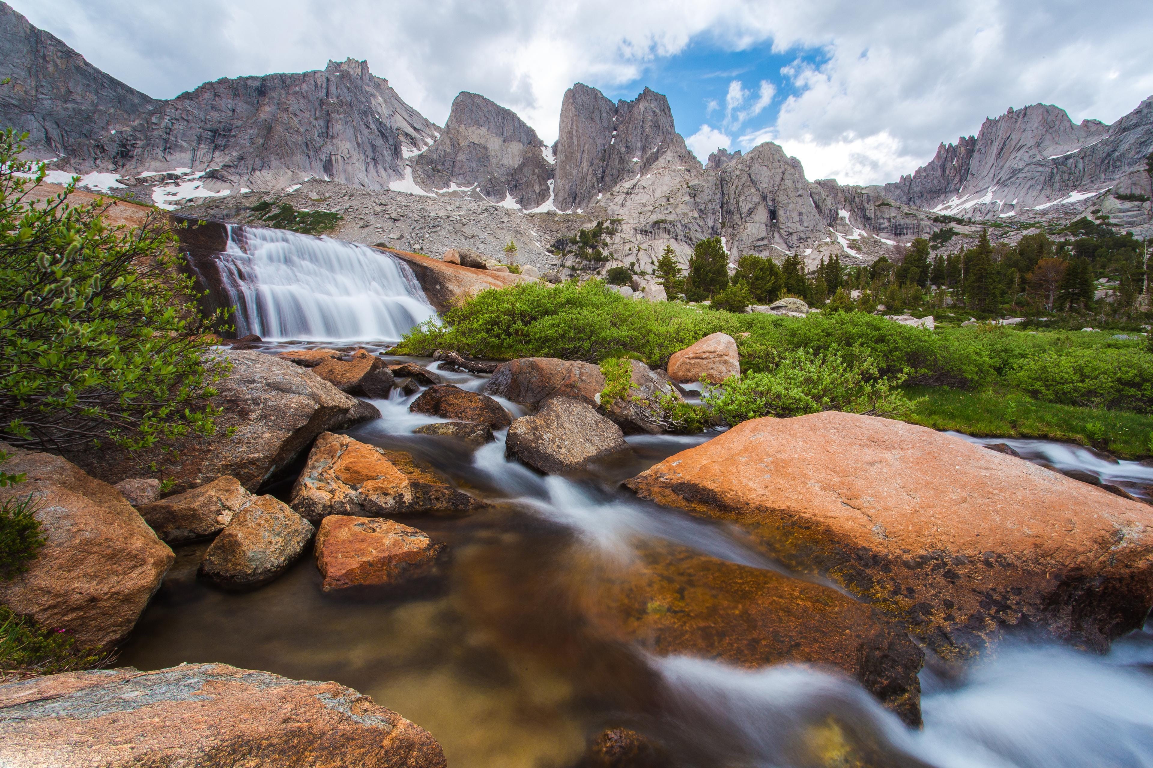
High-elevation forests are terrains shaped by wind, snowpack and short growing seasons. Stunted spruce and fir give way to meadows above the treeline, where glacial valleys, wildflowers and granite ridges are otherwordly.
Desert Montane
Coconino, Kaibab, Apache-Sitgreaves
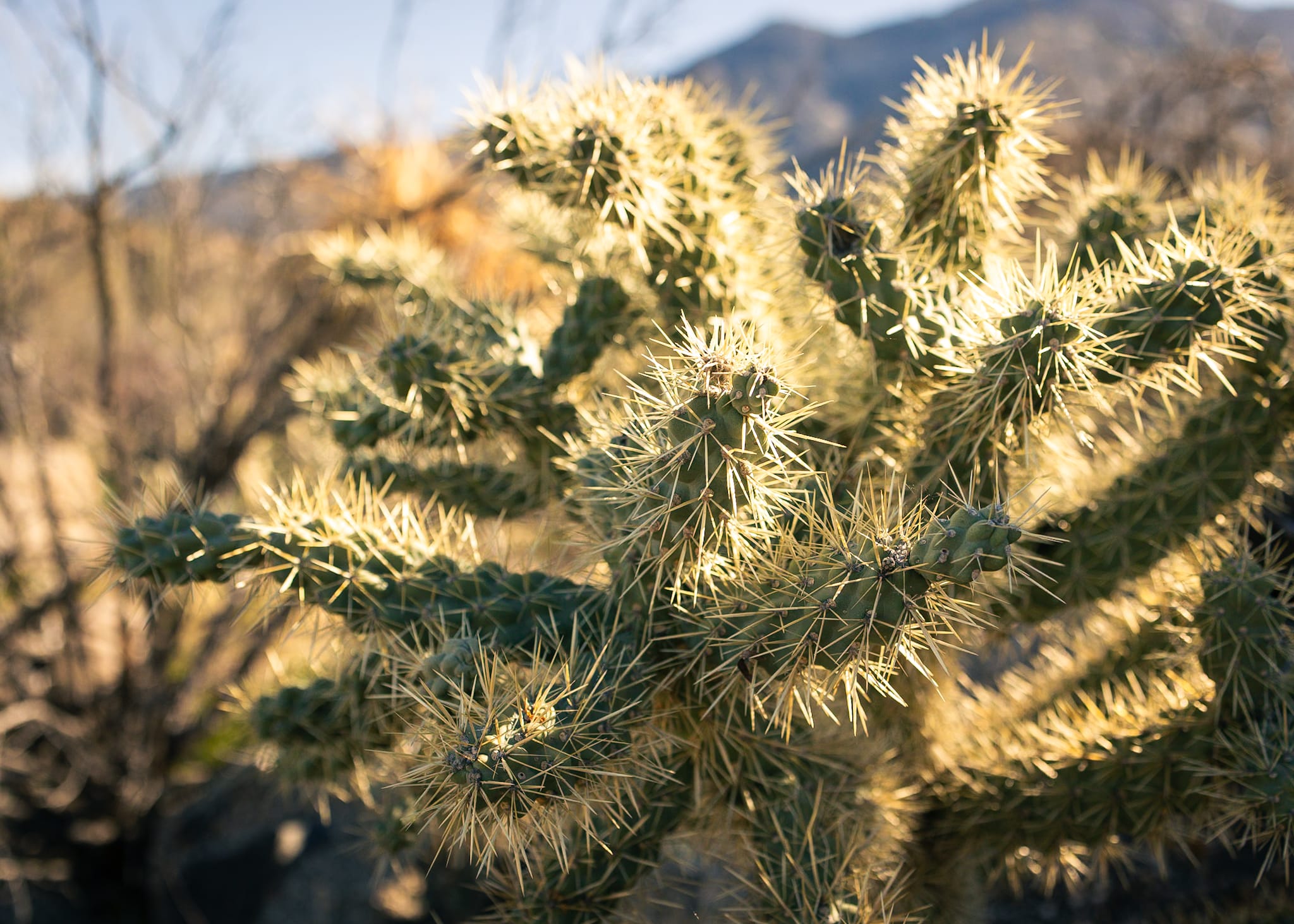
High-altitude and arid pinyon-juniper woodlands where volcanic rock, sandstone and thin soils support trees that are resilient to very harsh climes. Wildlife adapts to intense heat, sparse water and intense diurnal temperature swings.
Deciduous & Boreal
Green Mountain, White Mountain, Allegheny, Monongahela
Eastern deciduous forests are dense with oak, maple, birch and beech that shift in rhythm with four distinct seasons. Rich leaf litter fuels spring ephemeral growth, summer canopy density and autumn color spectacles.
Subtropical
Kisatchie, Apalachicola, Osceola, Ouachita, Sumter
Long, hot growing seasons with high humidity and abundant rainfall are essential to the year-round foliage. Species-rich longleaf and slash pine ecosystems, live oak, palmetto and magnolia form layered canopies.
Mixed Conifer
Deschutes, Willamette, Inyo, Sierra
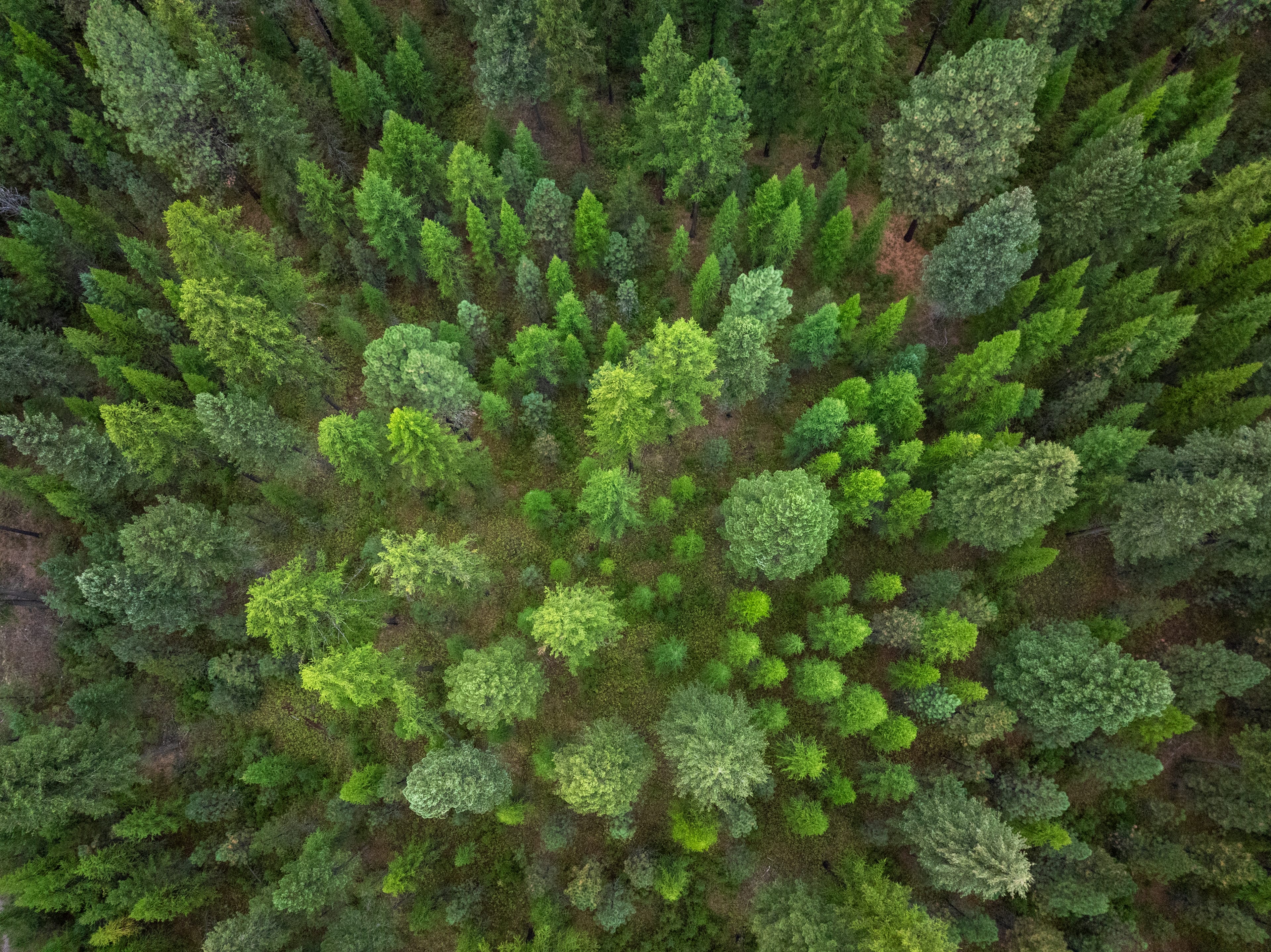
Find ponderosa pine, Douglas-fir, incense cedar. Wet forests favor dense fir and hemlock; drier forests open into pine-dominated stands. These forests often straddle rain shadows, and small elevation gains can mean entirely different ecosystems, species, weather.
History
1876
The Office of Special Agent for forestry created within the USDA, the first federal effort to assess U.S. forest conditions
1891
Forest Reserve Act allows presidents to set aside forest reserves to protect watersheds, timber
Wyoming’s Shoshone National Forest is the first designated forest reserve
1897
Organic Administration Act establishes management principles for forest reserves; Black Hills forestland is protected from fire, harmful timber practices
1905
Forest Service is founded, chiefed by the trailblazing Gifford Pinchot
1907
Forest reserves renamed “National Forests”
Tongass National Forest, the largest in the U.S., is established
1924
World’s first Wilderness area designated, Gila Wilderness
1930-1939
The Civilian Conservation Corps, a New Deal program, builds thousands of trails, plants billions of trees
1937
Appalachian Trail completed; it passes through eight National Forests from Georgia to Maine
1944
Smokey Bear Wildfire Prevention Campaign is launched during World War II
1950
American black bear cub is rescued from the Capitan Gap wildfire in New Mexico, becomes a living embodiment of Smokey Bear
1968
National Trails System Act established, encouraging greater public wilderness access
Pacific Crest Trail designated as a National Scenic Trail, one of the nation’s first
1978
Continental Divide Trail founded after years of scouting, planning
1990
Congress established National Forest Foundation as the official nonprofit partner of the Forest Service
2023
A major milestone: funds secured to plant 50 million trees through National Forest Foundation’s “50 Million for Our Forests” campaign
2024
Great Bend of the Gila National Monument Establishment Act aims to preserve sacred Indigenous lands, forms tribal commission to oversee co-stewardship of the area
2025
The Forest Service achieves the highest reforestation level in 25 years
Forests of Note
Region-by-region forest knowledge and cultural offerings
Northeast
From Maine and New Hampshire’s rugged White Mountain stretch to Pennsylvania’s rolling woods and gorges, Vermont’s Green Mountain majesty and New York’s shimmering lake district, it’s a magnetic landscape: lush hills and forest, proud mountain summits and winding waterways, and come autumn, one of the greatest color shows on earth.
4 locations:
4 locations:
White Mountain National Forest
New Hampshire & Maine
Green Mountain National Forest
Vermont
Finger Lakes National Forest
New York
Allegheny National Forest
Pennsylvania
“National Forests provide so much–space to play, a place to learn about what’s important, opportunities to share those learnings with my family.”
WHITE MOUNTAIN
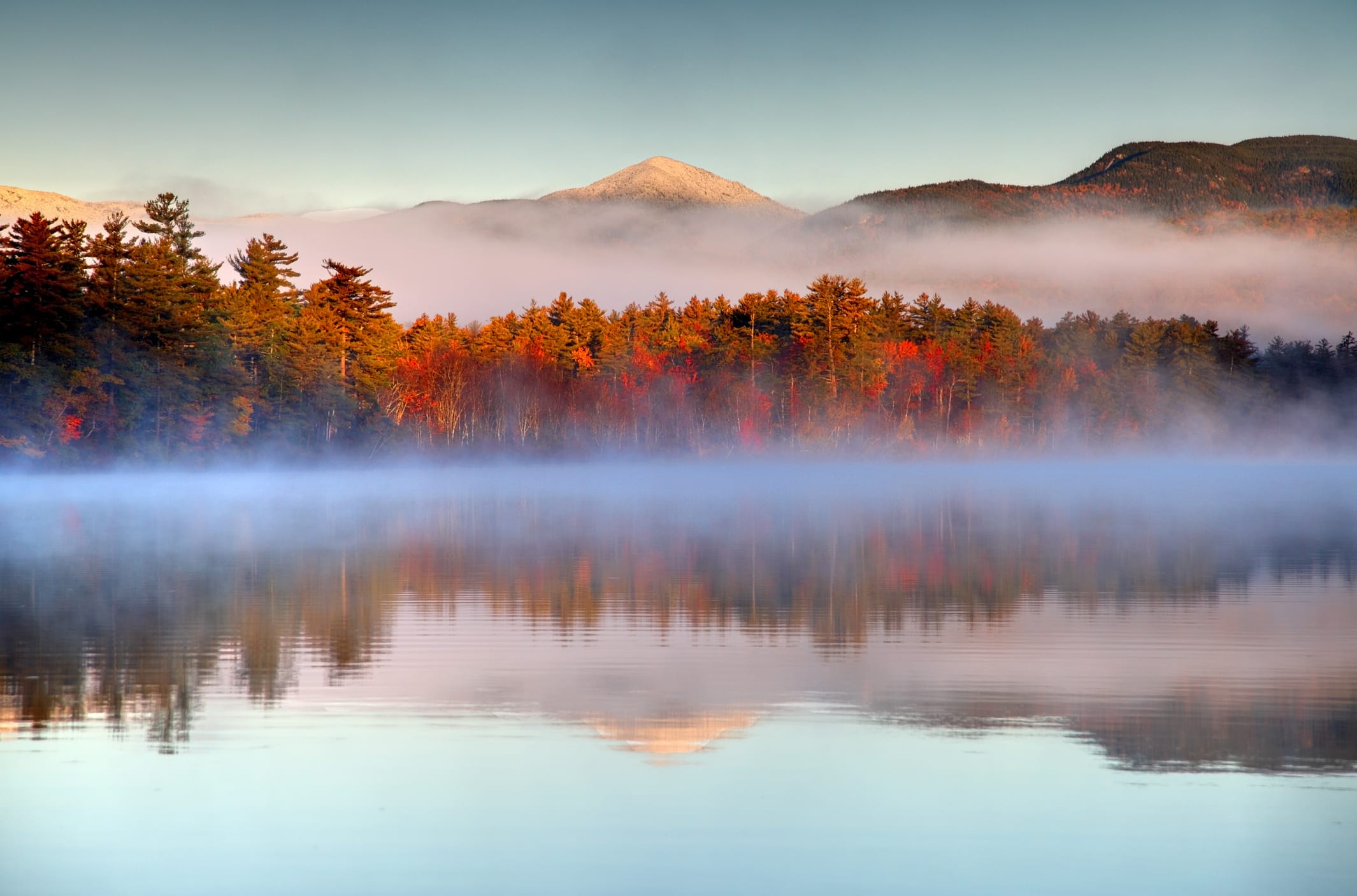
Stretching from the Connecticut River Basin into Maine, the White Mountain National Forest is the granite crown of the Northeast; a soaring, severe landscape that invites adventure but offers little mercy in weather or terrain. On a clear day, the great snowy monolith of Mount Washington stands visible from the Atlantic coast. If you find yourself up there on such a day, soak in views stretching across five states and into Canada. Hikers flock to the trails year-round in pursuit of the famed “New Hampshire 48,” a bruising checklist of 4,000-foot summits [record for completion: 4 days, 22 hours]. Come September, crowds arrive in their droves to see swathes of hardwood forests transform into a gilded tapestry. Kancamagus Highway is widely considered to be an essential New England foliage drive; Sabbaday Falls, Lower Falls, Rocky Gorge are key stops along the way.
Trail Recs:
Franconia Ridge
Blueberry Mountain
Presidential Traverse
History
The Old Man of the Mountain
An uncanny granite profile, the state’s emblem, collapsed in 2003. You’ll still find it on license plates, signs, and the state quarter.
Camp
Lakes of the Clouds Hut
Rugged hospitality at high elevation. Reach it via the Ammonoosuc Ravine Trail or the Crawford Path.
Nature
“The Big Wind”
Mount Washington feels 100-mph winds every five days in winter. A 231-mph gust broke records in 1934; it remained the highest surface wind ever recorded for 62 years.
Green Mountain
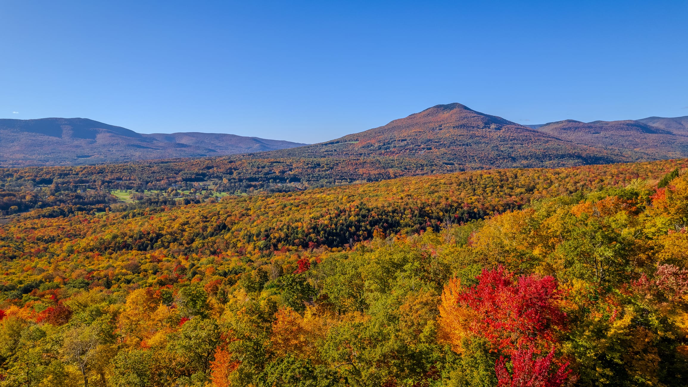
The verdant, timbered hills that give Vermont its name reward slow travel. Lucky then, that the Green Mountain National Forest shares terrain with two world-class scenic trails. The Long Trail, Vermont’s historic “footpath in the wilderness,” converges with the Appalachian Trail for 100 miles along the forest’s rocky spine. Vibrant with hikers and migratory birds during the summer and fall, the snow-hushed winter months hold a particular magic for anyone bold enough to venture among its boreal heights, sugar maple slopes, and birch-bright groves. Come summer, swimming holes beckon: Lake Pleiad is a short hike off the Long Trail, and you’ll find deep creek pockets for cold dips along the Robert Frost Interpretive Trail. May through August, anyone driving on Route 125 will pass the Bread Loaf School of English campus, where Monarch butterflies mate annually in a meadow of milkweed.
Trail Recs:
The Long Trail
Lye Brook Falls
Pico Peak
History
The Bennington Triangle
A midcentury period of unexplained disappearances stokes ongoing intrigue in these parts. One stretch of The Long Trail is especially legendary for the decades between 1920 and 1950, when several hikers ventured into the woods—never to be seen again
Camp
Hapgood Pond
Set up camp in a dense stand of hardwoods and evergreen, steps away from a freshwater swim.
Nature
Peregrine Falcons
Lofty cliffs like Mount Horrid hatch Earth’s fastest animal, Falco peregrinus.
Allegheny
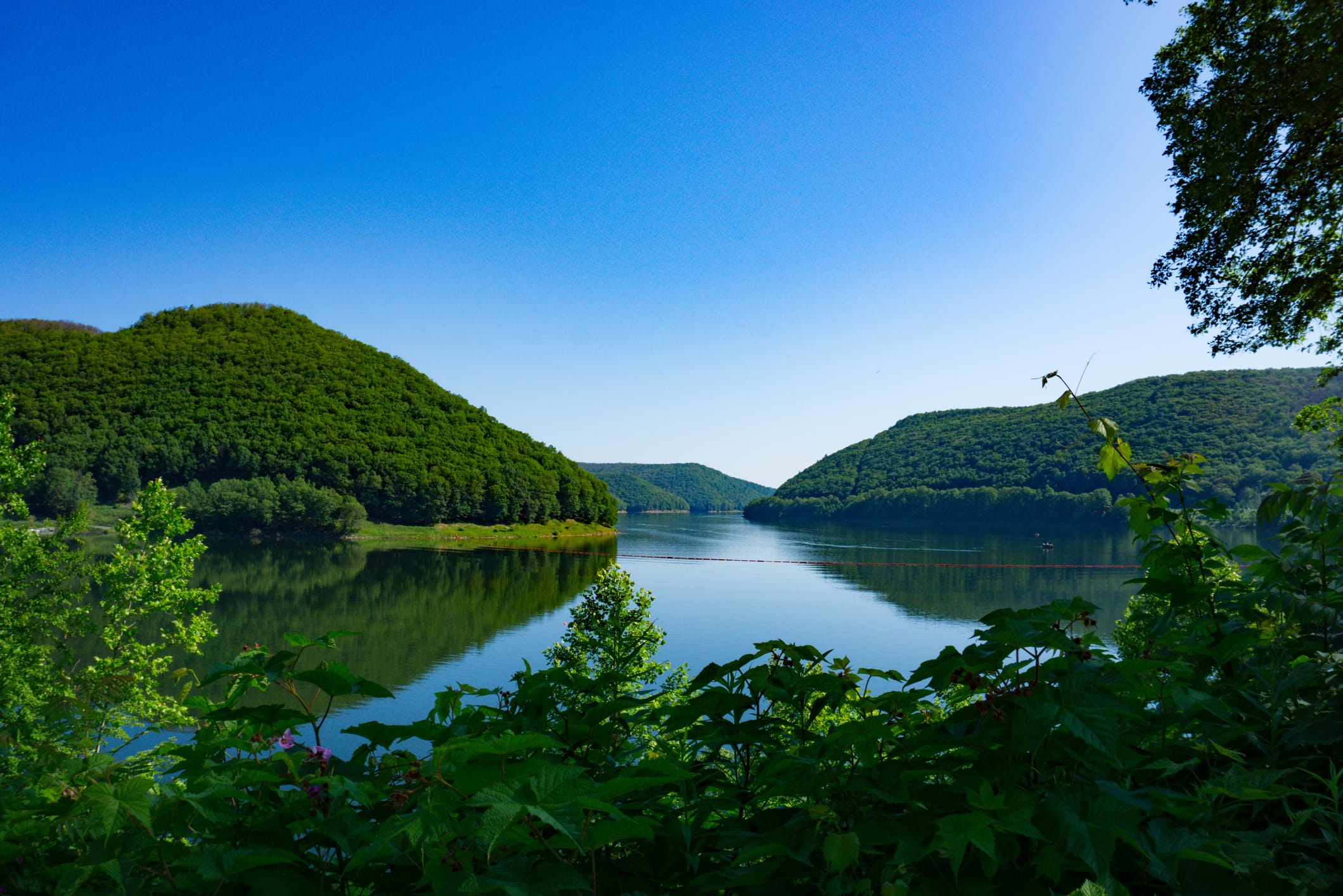
Woods and waters singing with breeze and birdsong are the hallmark of an expansive wilderness just two hours from Pittsburgh. Salvaged from near environmental destruction in 1923–before this, it was logged for white pine and hemlock with few replanting efforts–today Allegheny National Forest stretches across a half-million acres of mixed hardwood forests high on the Allegheny Plateau. Waterways divide deep gorges and high ridgelines cloaked in second-growth oak and black cherry, with pockets of virgin white pine tucked deep within its borders. In 1965, the Kinzua Dam flooded Iroquois lands to create the Allegheny Reservoir, its 90-mile shoreline stretching from the northern throat into the belly of the forest. On foot, discover countless coves that make for secluded swim opportunities; the rolling terrain along low ridges and plateaus yields a leisurely hiking experience. Rimrock and Jakes Rock overlooks offer stunning gorge and canopy viewpoints.
Trail Recs:
Jakes Rocks
Minister Creek
Hearts Content
History
Kinzua Viaduct
Remnants of a historic 300-foot bridge, felled by a tornado, has a new life as a skywalk that extends 624 feet out into the Kinzua Gorge.
Camp
Morrison Campground
Paddle-in access to the reservoir’s eastern shore. Hikers arrive on foot from the Morrison Trail.
Nature
Elk
The Northeast’s largest herd, expats from Yellowstone, haunt these hills.
Finger Lakes
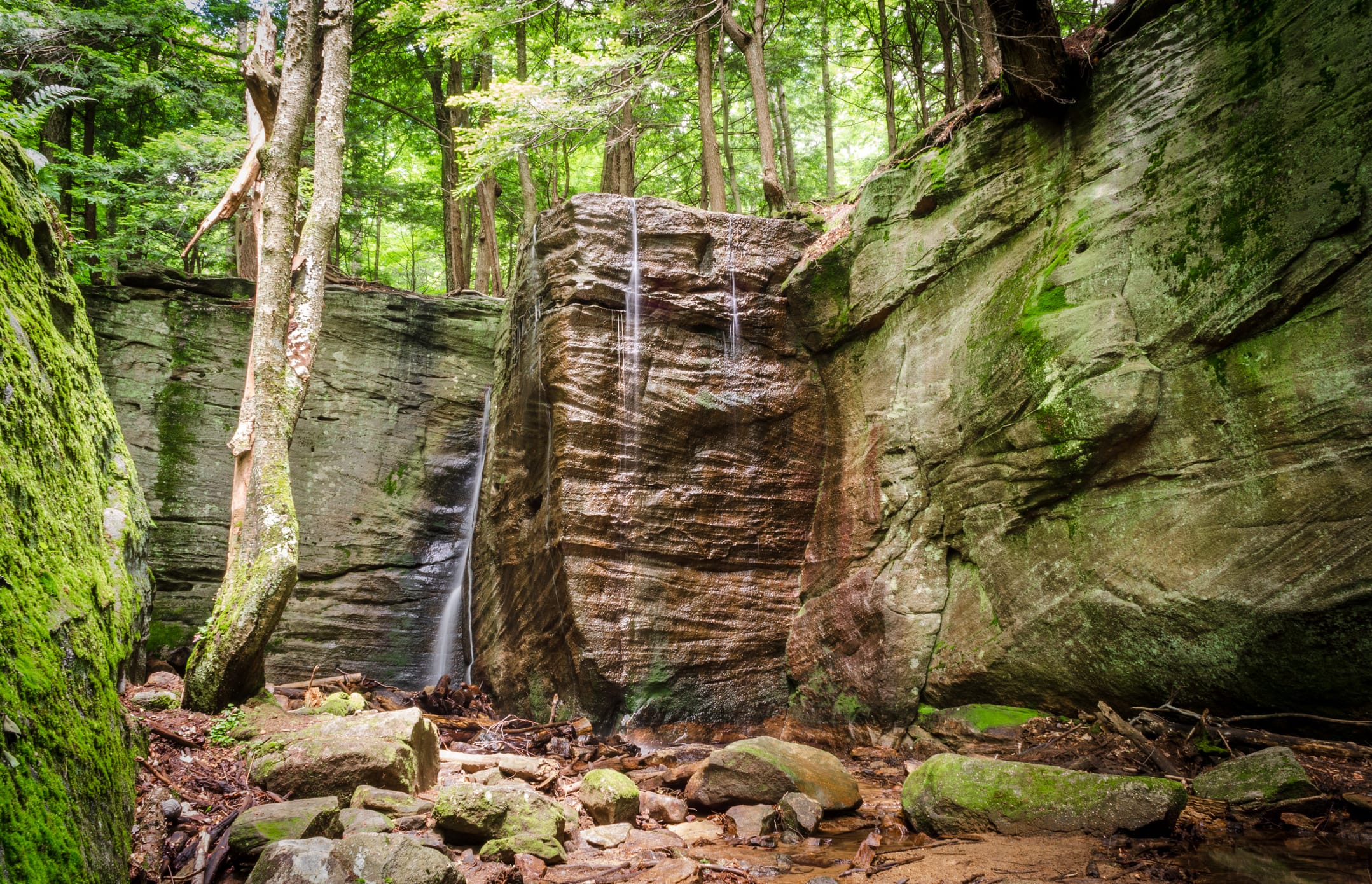
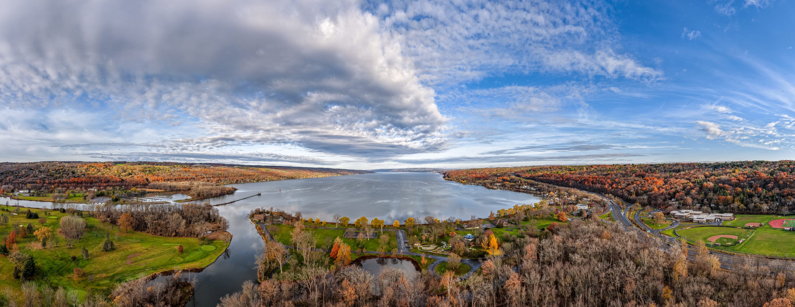
On the backbone ridge between Seneca and Cayuga, the largest of eleven ancient lakes gouged by glacial retreat like a big-cat scratch into the earth, the Finger Lakes National Forest is a diminutive, wooded oasis in upstate New York. Rather than the rugged wilds of its Northeastern cousins, the Finger Lakes embody a peaceful, pastoral landscape. Pastures of grazing cattle blend into successive shrublands that teem with rare songbirds and wildflowers during the summer. Long hillsides of hardwoods are laced with thirty miles of trails, gentle enough for horse and bike traffic. The placid, blue bodies of the lakes aren’t the only waterways to explore [opt for a guided canoe trip]; among the wooded glens, streams cut deep gorges into the earth, where waterfalls ribbon down rockface. If that wasn’t enough, the surrounding region is ripe with local wineries. This environment favors cold-hardy varietals, most notably Riesling, which thrives in the region’s bright acidity and slow ripening conditions
Trail Recs:
Interloken Trail
Backbone Trail
Fossenvue Trail
History
Viticulture
A unique, cool-climate terroir supports heritage winemaking. The Pleasant Valley Winery was the region’s first.
Camp
Backbone Horse Camp
Equine companions welcome at this singular semi-primitive spot.
Nature
Gorges
Water cuts deep corridors into ancient sandstone seabeds. Letchworth Gorge has been nicknamed “Grand Canyon of the East” for its 550-foot vertical cliffs.
Southeast
The South is a poem, verses that conjure magical thinking: Lowcountry, Smokies, Blue Ridge, Black Belt and Outer Banks. It is the morning sun on a bayou; the drape of Spanish moss on a live oak; fireflies blinking all at once down that Tennessee road. Pine, cypress and mangrove. High mountain stands to the greenest, wettest forests around.
33 locations:
33 locations:
Angelina National Forest
Texas
Apalachicola National Forest
Florida
Bienville National Forest
Mississippi
Chattahoochee–Oconee National Forests
Georgia
Cherokee National Forest
Tennessee & North Carolina
Conecuh National Forest
Alabama
Croatan National Forest
North Carolina
Daniel Boone National Forest
Kentucky
Davy Crockett National Forest
Texas
De Soto National Forest
Mississippi
Delta National Forest
Mississippi
El Yunque National Forest
Puerto Rico
Francis Marion National Forest
South Carolina
George Washington & Jefferson National Forests
Virginia, West Virginia & Kentucky
Holly Springs National Forest
Mississippi
Homochitto National Forest
Mississippi
Kisatchie National Forest
Louisiana
Land Between The Lakes National Forest
Kentucky & Tennessee
Monongahela National Forest
West Virginia
Nantahala National Forest
North Carolina
Ocala National Forest
Florida
Osceola National Forest
Florida
Ouachita National Forest
Arkansas & Oklahoma
Ozark-St. Francis National Forests
Arkansas
Pisgah National Forest
North Carolina
Sabine National Forest
Texas
Sam Houston National Forest
Texas
Sumter National Forest
South Carolina
Talladega National Forest
Alabama
Tombigbee National Forest
Mississippi
Tuskegee National Forest
Alabama
Uwharrie National Forest
North Carolina
William B. Bankhead National Forest
Alabama
“For my family, they are where adventure awaits, where the noise of life fades and campfire stories inspire, and where small moments become life-long memories.””
CHEROKEE, NANTAHALA/PISGAH & CHATTAHOOCHEE-OCONEE
This cluster of neighboring national forests in eastern Tennessee, western North Carolina, and northeast Georgia, respectively—along with Sumter National Forest’s small sliver in the South Carolina foothills—covers over 2.5 million acres along the southern edge of the Blue Ridge Mountains and the Appalachian Trail. Nantahala and Pisgah, both temperate rainforests, feature mild temperatures and lush vegetation year-round–with thick areas of thriving moss, ferns and wildflowers covering the forest floor as old-growth Loblolly pines, white oaks, and Carolina hemlocks provide shade. Hike to the top of Mount Pisgah, or take an exhilarating ride down Sliding Rock, a 60-foot, natural rock waterslide into a cool pond. In Nantahala, pick world-class whitewater rafting or hike in Panthertown Valley. In Chattahoochee, see almost-4,000-year-old rock carvings believed to be made by Cherokee people at Track Rock Gap Petroglyph Site.
Trail Recs:
History
Scull Shoals Historic Site
Remnants of an 1811 paper mill along the Oconee River.
Camp
Big Oak Cove Campground
Sleep by the river, wake up, and start fishing.
Nature
Synchronous Fireflies in Joyce Kilmer
Enchanting, after-dark spectacle tied to mating season. (Late May-Early June).

Ocala
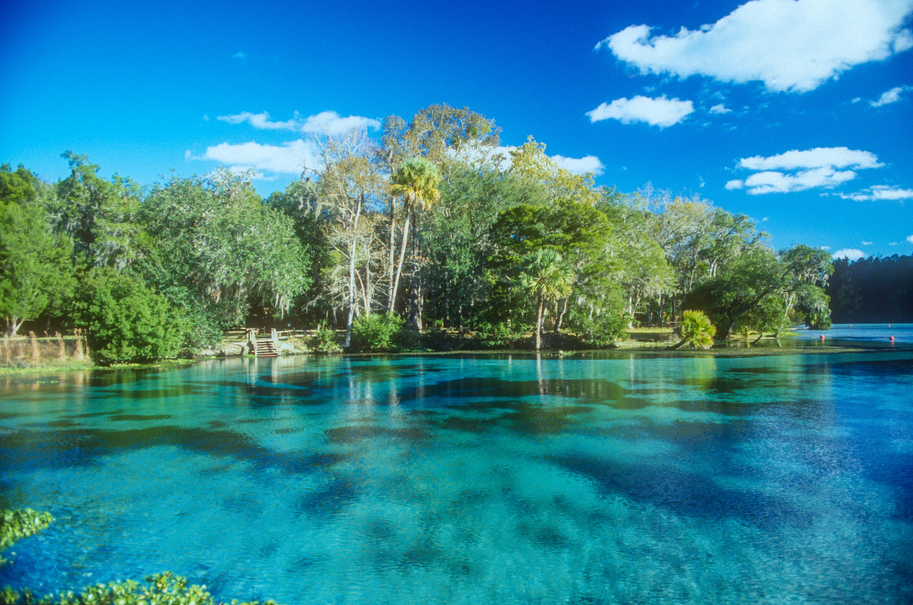
In 1908, Teddy Roosevelt established Florida's Ocala National Forest just north of Orlando to protect the world’s largest sand pine scrub–over 380,000 breathtaking acres of ancient dunes, with a unique species of evergreen pines that thrive in coastal soils due to their shallow roots. But what really makes Ocala special is the wide array of swimming holes, with over 600 lakes, rivers, and springs to dip in and cool down. Abundant natural springs are filled with crystal clear, 72-degree water year-round, thanks to their underground sources. Alexander Springs, with its 300-foot-wide basin and gentle slope, is perfect for an afternoon of snorkeling or diving, while manatees frequent Silver Glen Springs in late winter and early spring. Miles of hiking trails are equally temperate, thanks to dense stands of shady oaks and cabbage palms forming a cool canopy (“Ocala” roughly translates to “Big Hammock” in Timucua, describing this ecological propensity.) Look for wild rhesus macaque monkeys, and stay alert for black bears–Ocala is home to Florida’s largest population–and alligators.
Trail Recs:
History
Pat’s Island
Hike three miles to this 1854 settlement, an elevated plot among the sand pine scrub.
Camp
Hopkins Prairie
A cooler campsite, thanks to the shade of the oak hammock and shoreline breeze.
Nature
Salt Springs
A briny natural spring once believed to have medicinal healing powers.
Daniel Boone
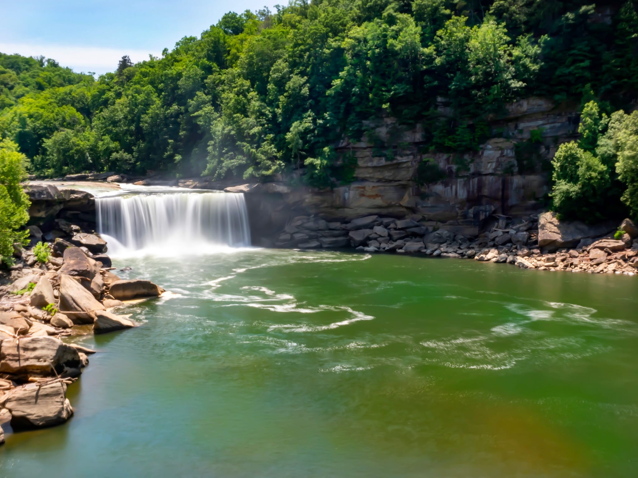
Spanning over 708,000 acres in 21 counties across southern and eastern Kentucky, the Daniel Boone National Forest is a craggy treasure–home to the largest concentration of rock shelters and arches east of the Rocky Mountains. On the north end, sandstone cliffs in the Red River Gorge offer world-class climbs and views from isolated ridges; look down, and you might find some elusive white-haired goldenrod springing from the stone’s cracks. (It’s the only place this plant is found in the world, thriving in the sandy soil.) Virginia big-eared bats make their homes high above the cliffs, and elk are spotted, especially in the fall during their mating season. Stroll along the Sheltowee Connector to reach the gorge’s “Jump Rock,” a popular, roughly 20-foot cliff where you can catapult into deep, cool waters. Towards the South, Yahoo Falls is the tallest in the state at 113 feet. With over 600 miles of trails, options are endless, including the Sheltowee Trace, which runs the length of the park from Tennessee almost to Ohio.
Trail Recs:
Sky Bridge Trail
Rock Bridge
Auxier Ridge
History
Cottage Furnance Interpretive Site
Cabin-like remnants of a historic iron furnace from the mid-1800s with limited parking upfront.
Camp
Koomer Ridge Campground
Spacious, tucked into the Red River Gorge with lots of short hiking trails and abundant amenities (hot showers, all year round).
Nature
Clifty Wilderness
More than 12,000 acres of cliffs, arches, rock shelters, and one of the most biodiverse spots in North America.
De Soto
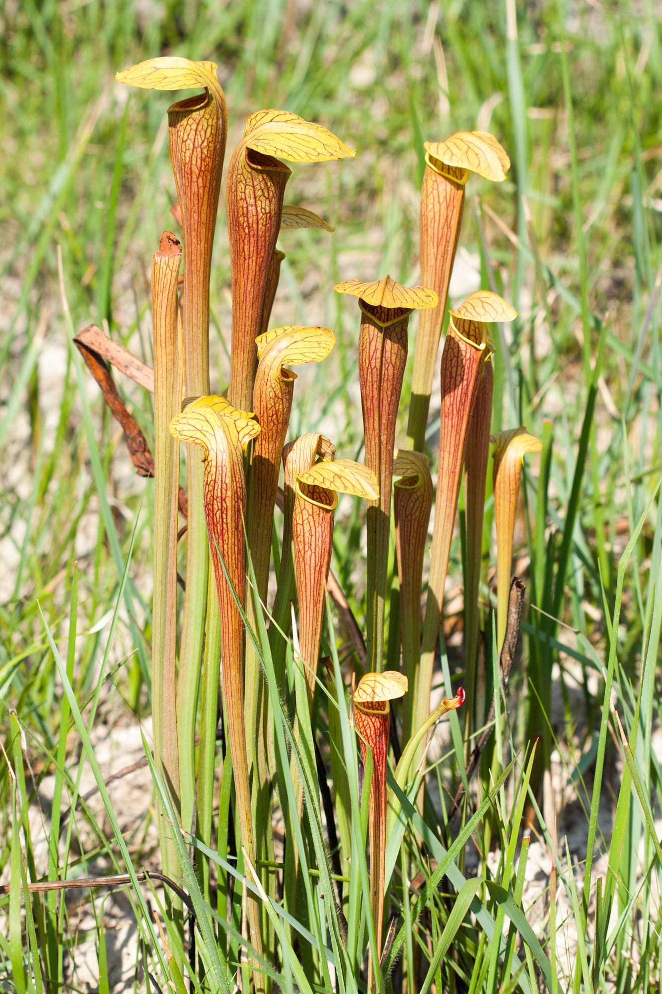
For an escapade down the road less traveled, look to Mississippi’s De Soto National Forest–an underrated gem that’s just a short drive from the Gulf Coast. Spanning half a million acres, it’s Mississippi’s largest natural area. The 21-mile Black Creek, which runs through the forest, is the state’s only designated National Wild and Scenic River. (The famous Mississippi River is considered too engineered.) Rent a canoe to leisurely drift through the signature tea-colored waters or hike along the stream’s trail for about 40 miles through rolling hills and across dozens of bridges and boardwalks. Backpacking is also popular on the Tuxachanie, a trail that follows an abandoned logging railroad and takes you through wildflower fields, wetlands, and sandy longleaf pine woods. If you hear snoring while you walk, it might just be the dusky gopher frog, on the brink of extinction, but living in the deeper forest ponds. Look out for another “keystone species”—vital to an ecosystem’s survival–the gopher tortoise.
Trail Recs:
Tuxchanie National Hiking Trail
Big Foot Horse Trail
Black Creek
History
Living History at De Soto National Memorial
Try on replica armor and watch historical reenactments on weekends from January to April.
Camp
Big Biloxi Recreation Area
Fully-developed site on the banks of Big Biloxi with a half-mile nature trail. (Bring bug spray!) A short drive from R&B Brick Oven Pizza, known for its wood-burning oven.
Nature
Buttercup Flats
A bog full of bug-eating pitcher plants that stretches for miles in the center of the forest. (Spring to fall)
Midwest
Overlook the quiet marvels of Middle America and miss much of our country’s grandeur. Mythically portioned forestland and lakes, villages tucked between coast and tree line, rambling orchards, seemingly untouched northern wilderness, strange and beautiful duneland, and waving prairie grass as far as the eye can see.
12 locations:
12 locations:
Chequamegon-Nicolet National Forest
Wisconsin
Chippewa National Forest
Minnesota
Hiawatha National Forest
Michigan
Hoosier National Forest
Indiana
Huron-Manistee National Forests
Michigan
Mark Twain National Forest
Missouri
Nebraska National Forest
Nebraska
Ottawa National Forest
Michigan
Samuel R. McKelvie National Forest
Nebraska
Shawnee National Forest
Illinois
Superior National Forest
Minnesota
Wayne National Forest
Ohio
“A connection sparked during my first solo overnight backpacking trip in Shawnee National Forest, where I discovered a quiet confidence and inner strength.”
Superior
The Upper Midwest at its wildest. Stretching across three million acres—the largest national forest east of the Mississippi—the Superior National Forest is where Minnesota leans into its northern character. This is the southern edge of the vast boreal forest, a rugged landscape of rocky ridges, spruce, pine and more than 2,000 crisp, clear lakes and streams. Iconic large mammals move through here; moose wade in marshes, gray wolves slip through the timber and black bears roam the berry thickets. At the heart lies the legendary one-million-acre Boundary Waters Canoe Area Wilderness, a labyrinth of lakes and portages beloved by paddlers for thousands of years. Recreation abounds—from developed campgrounds to backcountry campsites where solitude is the main amenity. Cast for walleye, northern pike, or smallmouth bass, hike for an afternoon or a week, or simply drift between sky and water.
Trail Recs:
Superior Hiking Trail
Border Route Trail
Kekekabic Trail
History
Ancient Travelers
For 10,000 years, these waters served as passageways through thick northern wilderness—from post-ice-age settlers to fur-trade Voyageurs, loggers and modern adventurers.
Camp
Get Off the Beaten Path
Embrace the remoteness–a first-come, first-served camping heaven with tons of backcountry and dispersed sites scattered across the forest.
Nature
Southern Boreal Forest Edge
A transition zone where taiga conifers meet temperate hardwoods, creating remarkable biodiversity.
Hiawatha
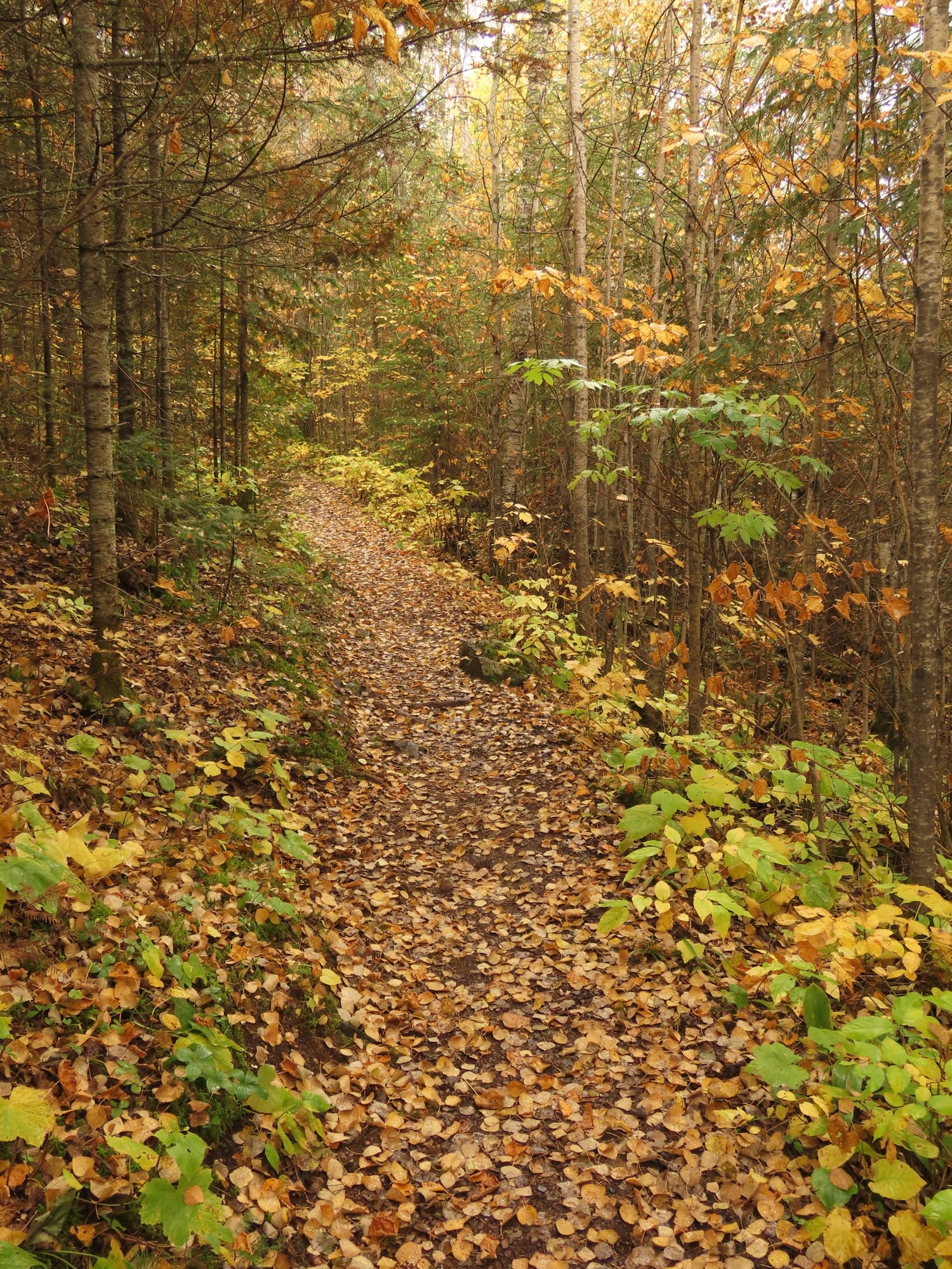
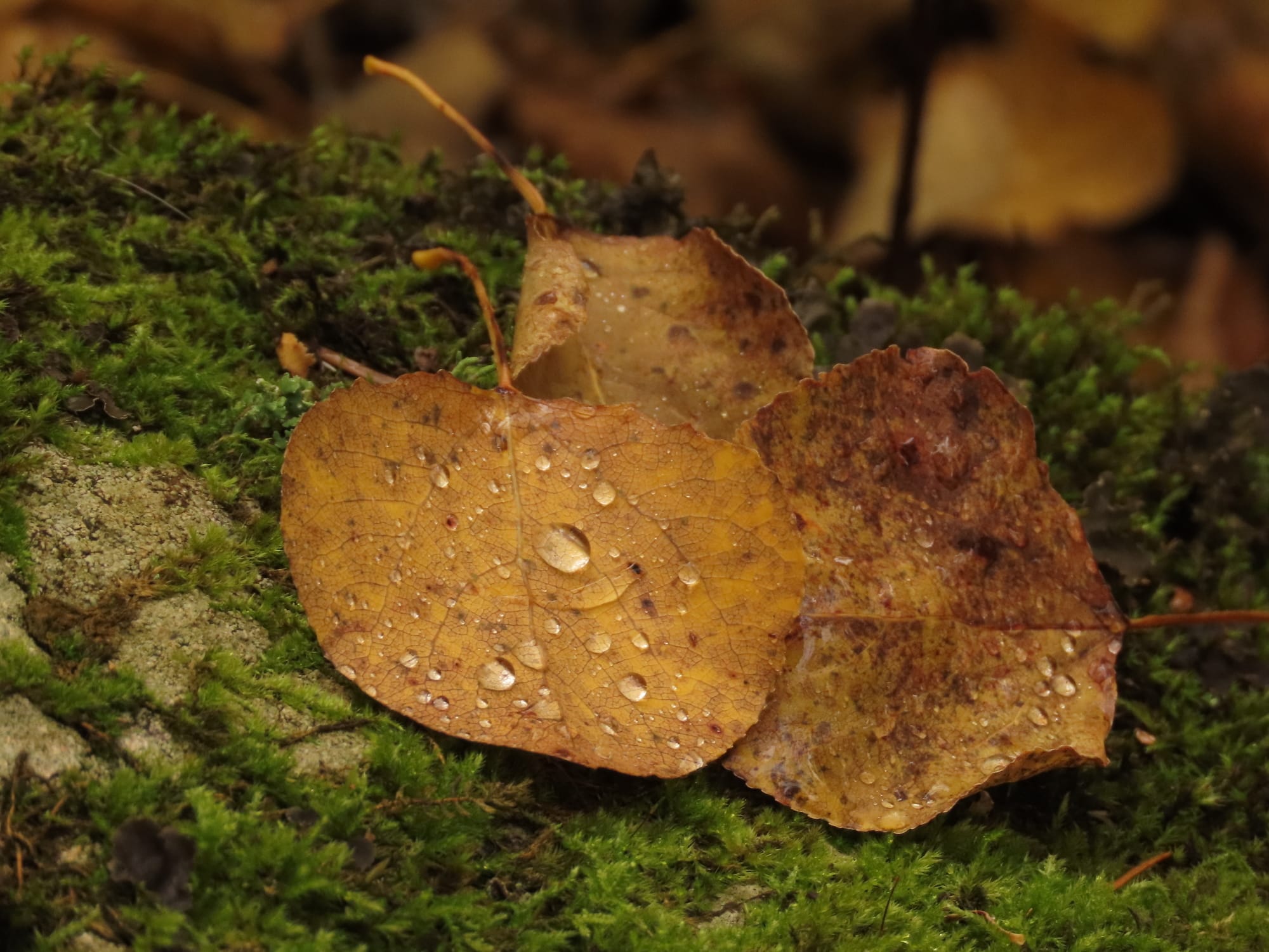
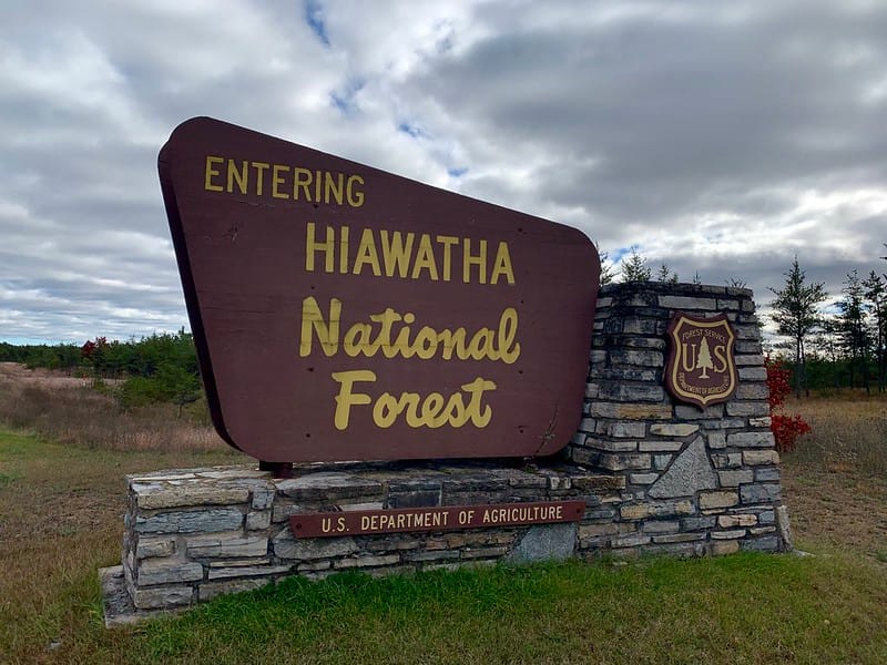
The Hiawatha National Forest spreads across over 800,000 acres of sandy shoreline, inland lakes, cedar swamps and pine forest across Michigan’s Upper Peninsula. The forest is divided between eastern and western units, but the throughline remains: water, woods and space to wander. Nearly 100 miles of combined shoreline along Lake Superior, Lake Michigan and Lake Huron frame the forest, shaping its windswept dunes, rocky cliffs and that venerable Upper Peninsula maritime climate. The forest is teeming with wildlife and opportunities to explore. Loons echo across remote lakes, black bears roam the woods and paddlers and campers can still find quiet corners of the Northwoods. Whether snapping photos of the lighthouse-studded shores, hiking through jack pine barrens, or casting a line into clear inland lakes, Hiawatha offers a classic Upper Peninsula mix of wilderness and water.
Trail Recs:
North Country Trail
Bruno's Run Trail
Grand Island Trail
History
A Legend of Peace
Named after the great leader Hiawatha, who, according to legend, was instrumental in an historic unification of the original five tribes into the Iroquois Confederacy.
Camp
McKeever Cabin
A centrally located, charmingly bare-bones little year-round rustic cabin within the national forest, accessible in the winter by cross-country skiing or snowshoeing.
Nature
Great Lakes Access
Three Great Lakes touch the forest, creating rare coastal dunes, wetlands, and some of the Midwest’s best bird habitat.
Chequamegon-Nicolet
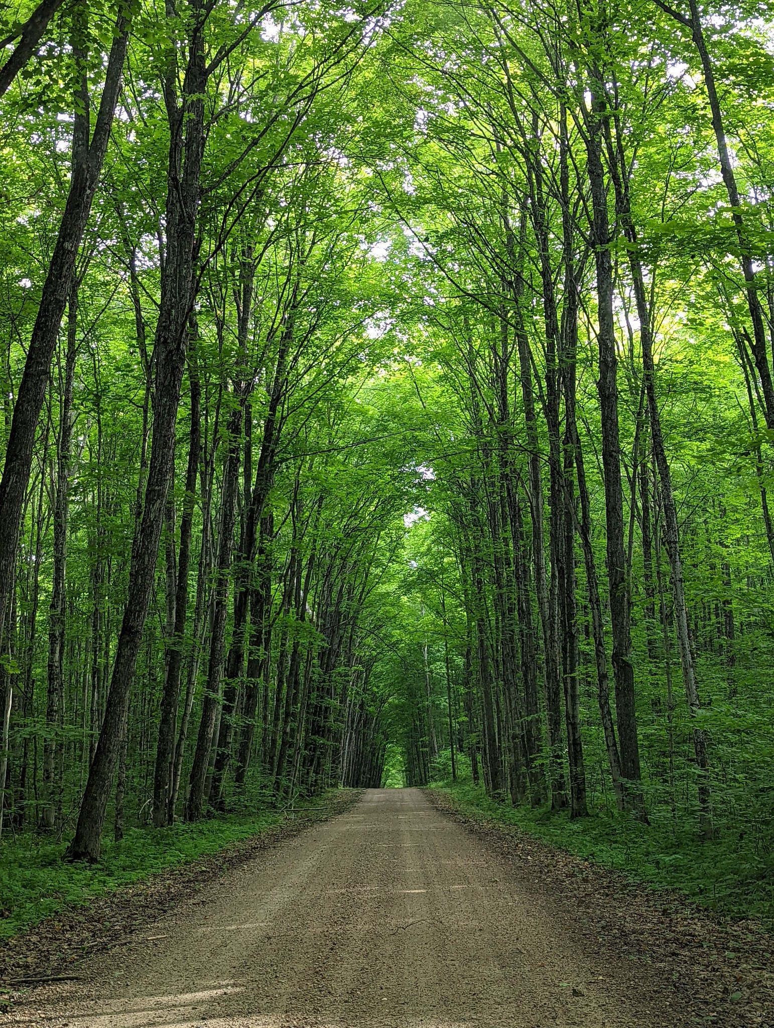
Spanning over 1.5 million acres across northern Wisconsin, the Chequamegon–Nicolet National Forest is a landscape shaped by water, ice and time. Named for two historic forests that were later combined into one, it’s filled with quiet lakes, winding rivers, hardwood ridges and stands of towering red and white pine. This is classic Northwoods country—where loons call, paddlers slip through tannin-dark rivers and wildlife still moves easily through the connected corridors. Northern conifers blend with hardwood forests of maple, birch and aspen. Wisconsin’s vast pine forests helped build cities across the Midwest, and today the forest has returned as a place of recreation and refuge, offering thousands of lakes and miles of trails for hiking, paddling, camping and simply disappearing into the quiet rhythm of the Northwoods.
Trail Recs:
Ice Age National Scenic Trail
Porcupine Lake Wilderness Trail
Morgan Falls and St. Peter's Dome Recreation Area
History
Logging Fuel
Once part of the country’s great pine belt, these forests fueled the Midwest’s massive 19th-century timber boom.
Camp
Namekagon Lake Recreation Area
A family-friendly campground nestled amongst hemlock and hardwood, alongside its namesake lake at the headwaters of the Namekagon River, part of the St. Croix National Scenic Riverway.
Nature
Glacial Leave-Behinds
When glaciers scraped the landscapes, they left thousands of lakes, bogs, and wetlands—prime habitat for loons, eagles and black bears.
Mark Twain
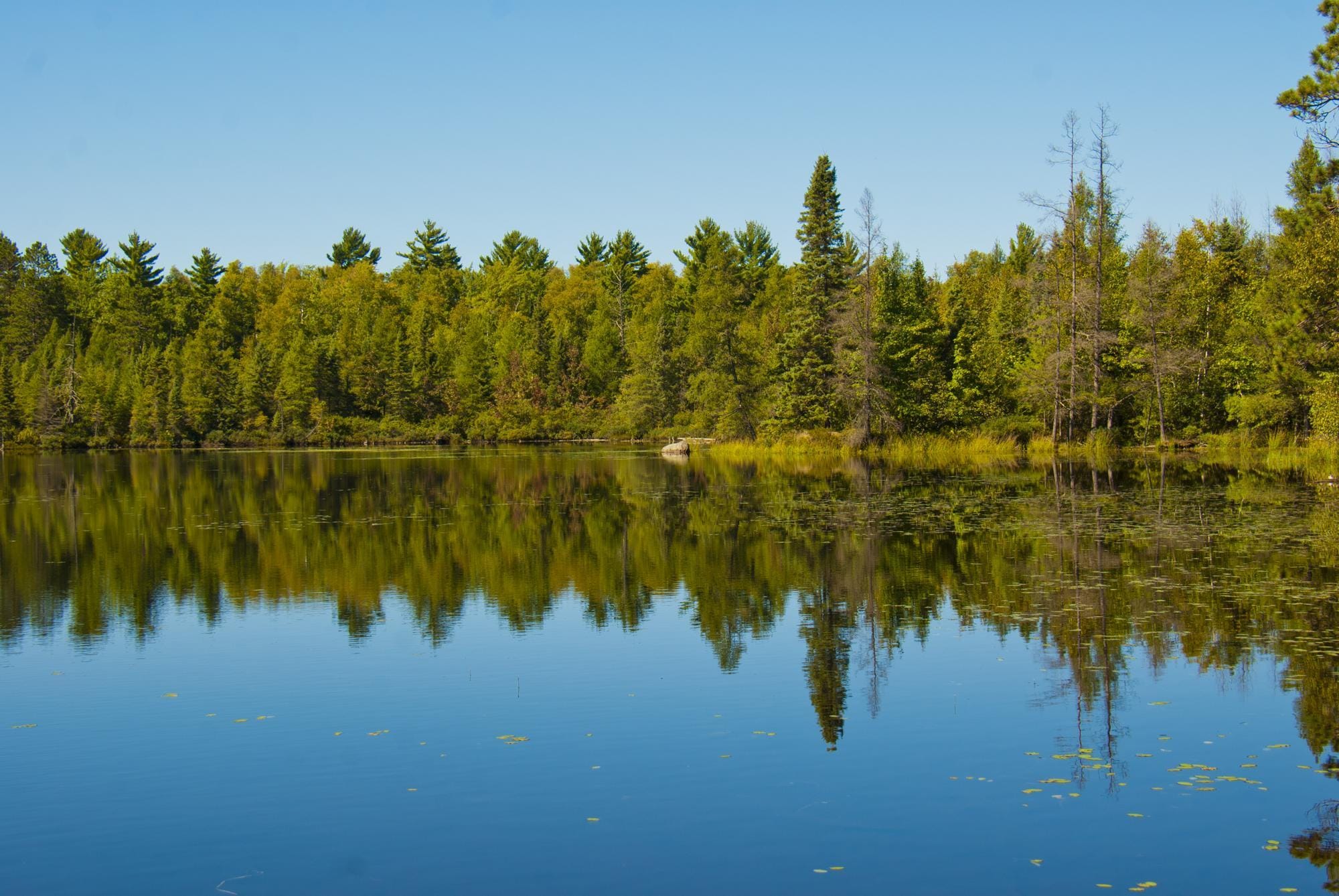
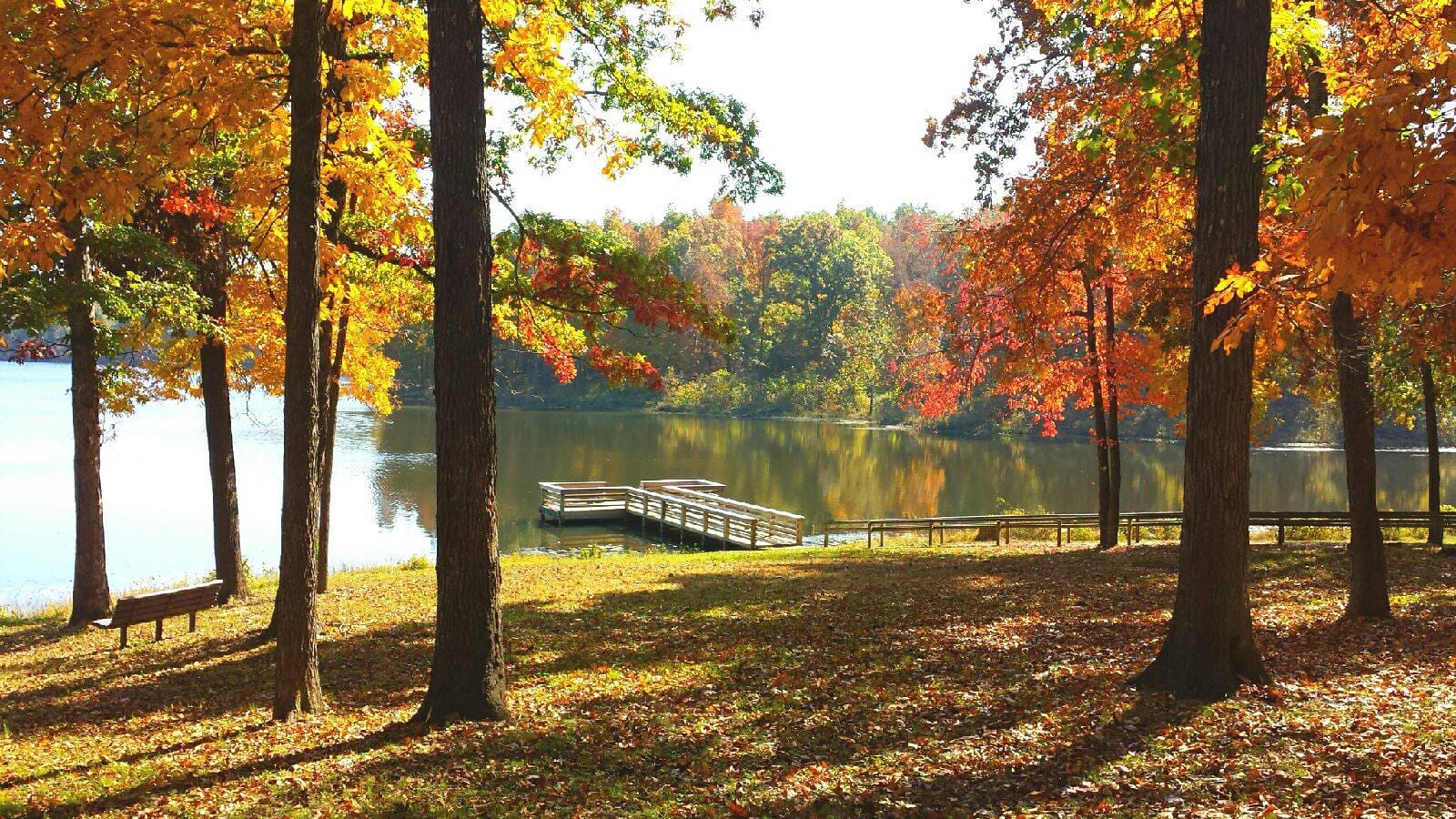
Covering the beautifully craggy hills of southern Missouri, Mark Twain National Forest protects more than 1.5 million acres of the Ozarks’ rolling hardwood forests, clear streams and rocky ridges. Named for Missouri’s most famous writer, the forest spans a patchwork of public lands that emulate the wild character of the Ozark Highlands. Oak and hickory forests blanket ancient hills, while cold springs and rivers carve through limestone bluffs and shaded hollows. Over the past century the land has recovered from logging, returning as diverse woodlands rich with wildlife, waterfalls and spring-fed rivers. Hikers, paddlers, campers and horseback riders can explore hundreds of miles of trails and waterways across the one-of-a-kind Ozark wilderness.
Trail Recs:
Ozark Trail
Bell Mountain Wilderness Trail
Devil's Backbone Wilderness Trail
History
Samuel Clemens
Named for Missouri-born author Samuel Clemens (Mark Twain), whose writing captured the spirit and landscapes of the Mississippi Valley.
Camp
Greer Crossing Recreation Area
Classic national forest campground with access to Eleven Point River, one of Missouri’s most popular float streams, and central to many of the area’s historic mills and springs.
Nature
Karst Geology
This famed landscape, created as groundwater dissolved soluble rock such as limestone or dolomite, is put on display by a plethora of caves, springs, sinkholes and some of the clearest rivers in the Midwest.
Mountain West
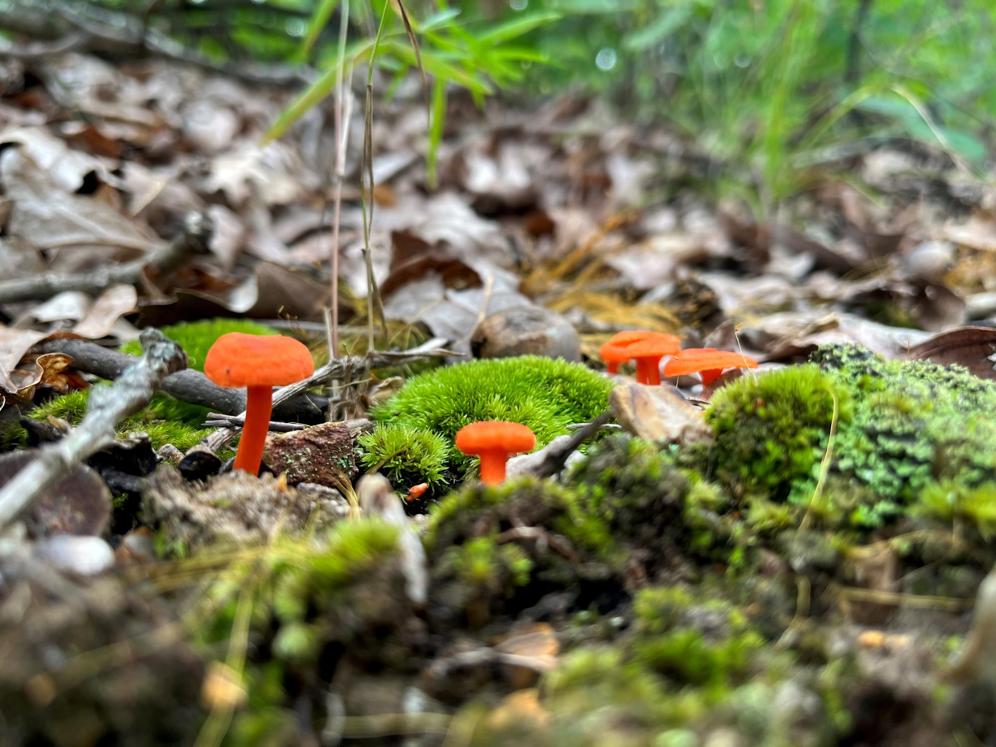
Mixed-conifer and aspen forests blanket epic high-altitude terrain here. On a map, town dots and road lines suggest little of the beauty and challenges of the landscape, the trails and mining outposts, rushing rivers and ski trails cutting down mountain faces. Here, nearly every path you take is, by luck and necessity, the scenic route.
34 locations:
34 locations:
Arapaho National Forest
Colorado
Ashley National Forest
Utah & Wyoming
Beaverhead–Deerlodge National Forest
Montana
Bighorn National Forest
Wyoming
Bitterroot National Forest
Montana & Idaho
Black Hills National Forest
South Dakota & Wyoming
Boise National Forest
Idaho
Bridger–Teton National Forest
Wyoming
Caribou–Targhee National Forest
Idaho, Wyoming & Utah
Custer National Forest
Montana & South Dakota
Fishlake National Forest
Utah
Flathead National Forest
Montana
Gallatin National Forest
Montana
Grand Mesa National Forest
Colorado
Gunnison National Forest
Colorado
Helena–Lewis and Clark National Forest
Montana
Humboldt–Toiyabe National Forest
Nevada & California
Idaho Panhandle National Forests
Idaho, Montana & Washington
Kootenai National Forest
Montana & Idaho
Lolo National Forest
Montana
Medicine Bow–Routt National Forest
Colorado & Wyoming
Nez Perce–Clearwater National Forests
Idaho
Payette National Forest
Idaho
Pike National Forest
Colorado
Rio Grande National Forest
Colorado
Roosevelt National Forest
Colorado
Salmon–Challis National Forest
Idaho
San Isabel National Forest
Colorado
San Juan National Forest
Colorado
Sawtooth National Forest
Idaho & Utah
Shoshone National Forest
Wyoming
Uinta–Wasatch–Cache National Forest
Utah, Wyoming & Idaho
Uncompahgre National Forest
Colorado
White River National Forest
Colorado
“National Forests can teach us about connection. Forests are ecosystems, relationships and webs of life that humans are a part of.”
White River
In 1919, Forest Service’s Arthur Carhart hiked to Colorado’s Trappers Lake to survey the shoreline for development. Instead, he wrote a memo that, upon sharing with his boss, Aldo Leopold, became the intellectual foundation of the wilderness concept. Considered the “Cradle of Wilderness,” the jagged peaks, glacial basins, and aspen groves of the Colorado Rockies are what many North Americans imagine when they picture a mountain escape. As its surrounds get more populous and the highways teem with all manner of outdoorspeople, White River National Forest remains a reminder of the wilderness on an epic scale: Ten peaks over 14,000 feet–Grays and Torreys, Quandary, Castle, and Collegiate, to name a few–eight wilderness areas, and eleven ski resorts play their parts in making White River’s 2.3 million acres the most visited National Forest in the country.
Trail Recs:
Crater Lake via Maroon Bells
Shriner Ridge
Arthur H. Carhart
History
Camp Hales
Basecamp for the 10th Mountain Division, where soldiers learned to fight on skis. Est. 1942.
Camp
Gore Creek Campground
On the outskirts of Eagle Nest Wilderness. Shady, creekside sites with Gore Range peaks; in the fall, amber foliage everywhere you turn.
Nature
Hanging Lake
A turquoise lake sits in a basin of delicate, dissolved limestone. A reservation is required to hike; you can look upon its beauty, but don’t swim—the ecosystem is delicate.
Bridger-Teton
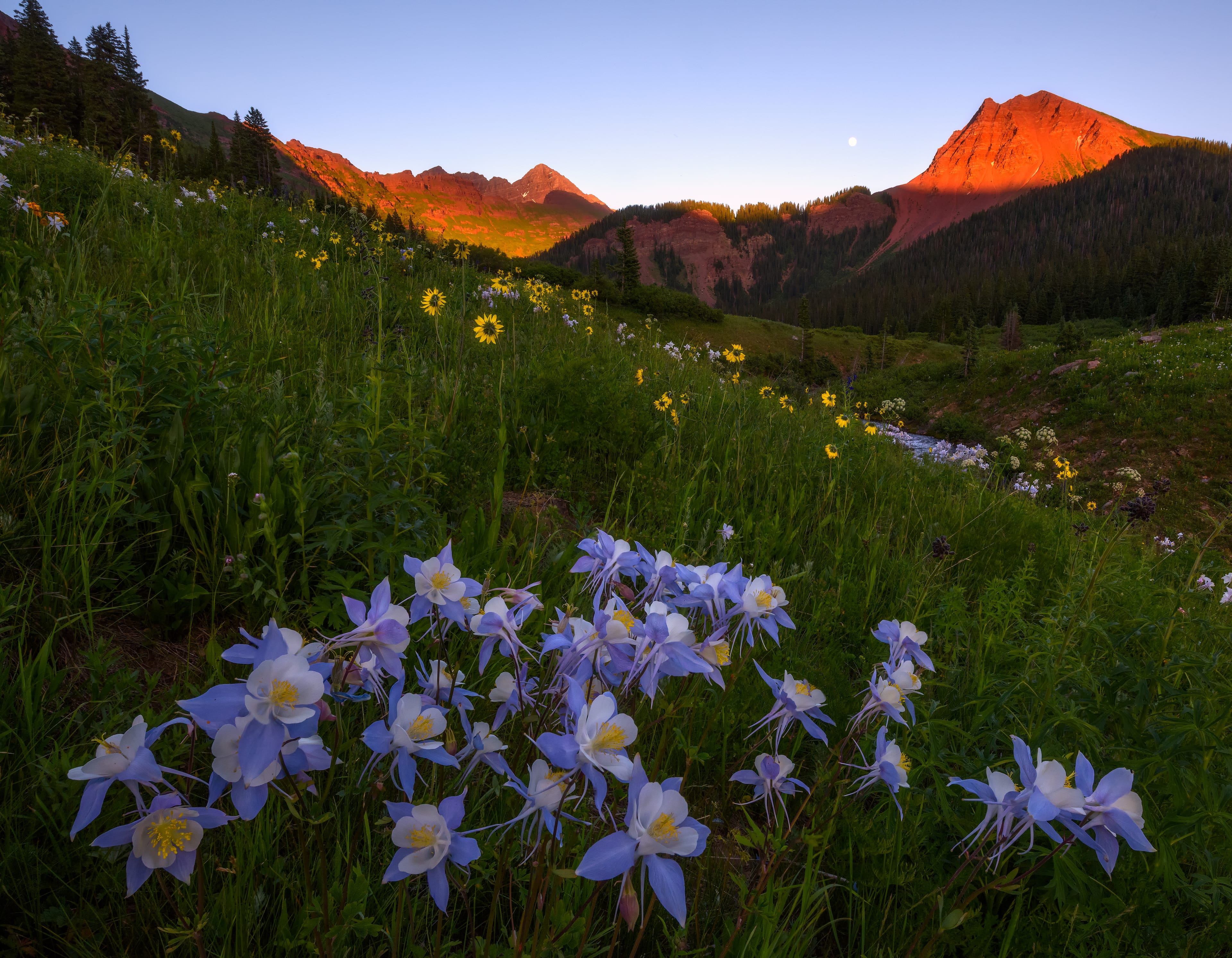
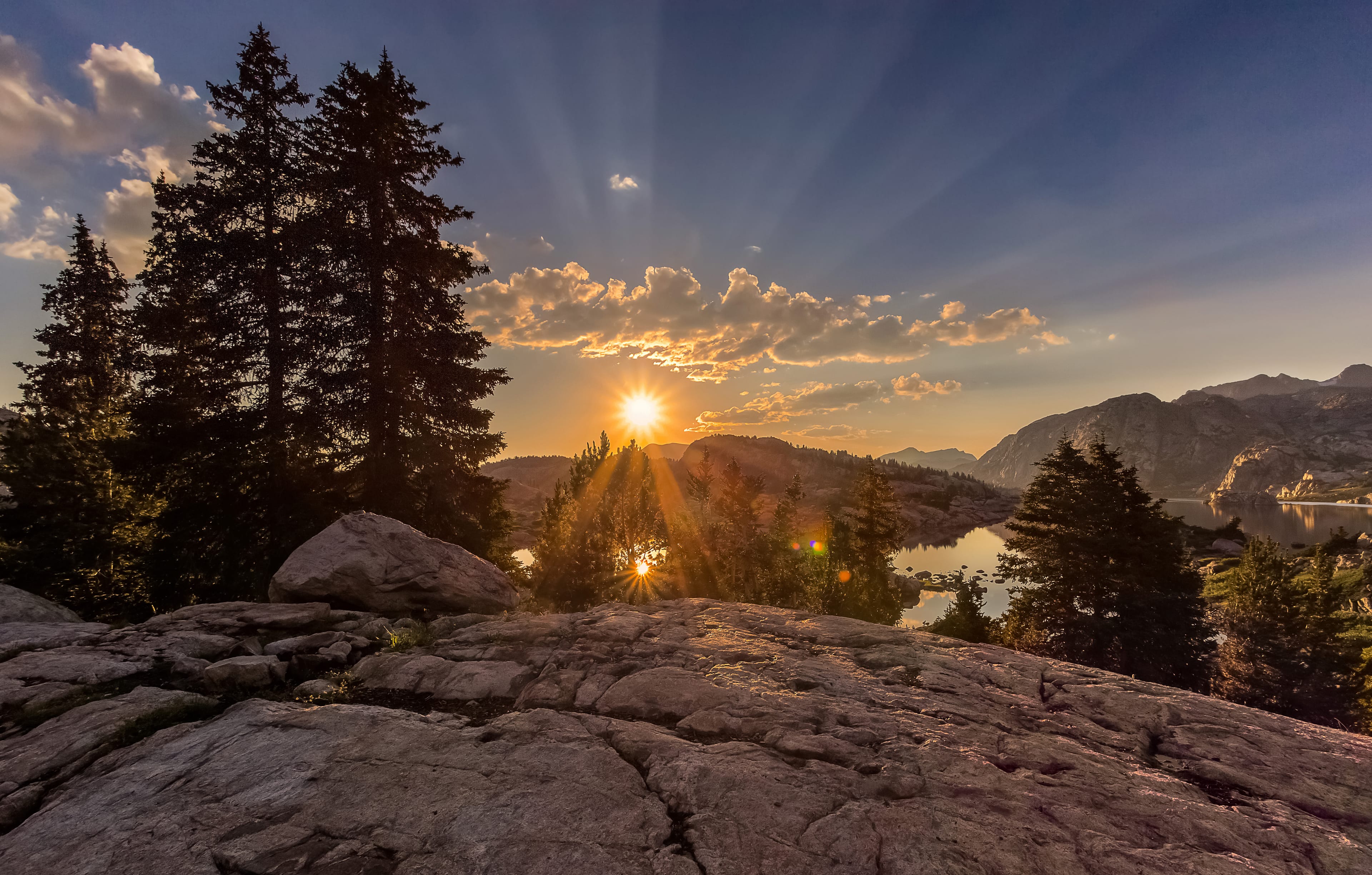
Sprawling across 3.4 million acres of western Wyoming, the Bridger-Teton National Forest anchors the Greater Yellowstone Ecosystem—the world’s largest intact temperate ecosystem—serving as wild connective tissue between Yellowstone and Grand Teton National Parks. In the high basins of the Wind River Range, dawn sets fire to granite towers above lonesome alpine lakes. In the cool shallows of crystalline creeks, grizzlie fish for cutthroat trout. At dusk, elk move through sagebrush meadows in unfathomable numbers. Wolves follow in silent pursuit; as of 2024, there are an estimated six packs of gray wolves with home ranges across Bridger-Teton. The mule deer herd that winters near Rock Springs travels more than 150 miles to summer range in the Hoback Basin–crossing much of the forest and traversing harrowing pinch points. The ancient wheel of life spins on as it should.
Trail Recs:
Cache Creek Trailhead
Green River Lakes Trailhead
Holmes Cave
History
Finis Mitchell
He climbed 280 of 300 mountain peaks in the Wind Rivers; he and his wife carried 2.5 million trout to populate more than 300 remote alpine lakes during the Great Depression.
Camp
Kozy Campground
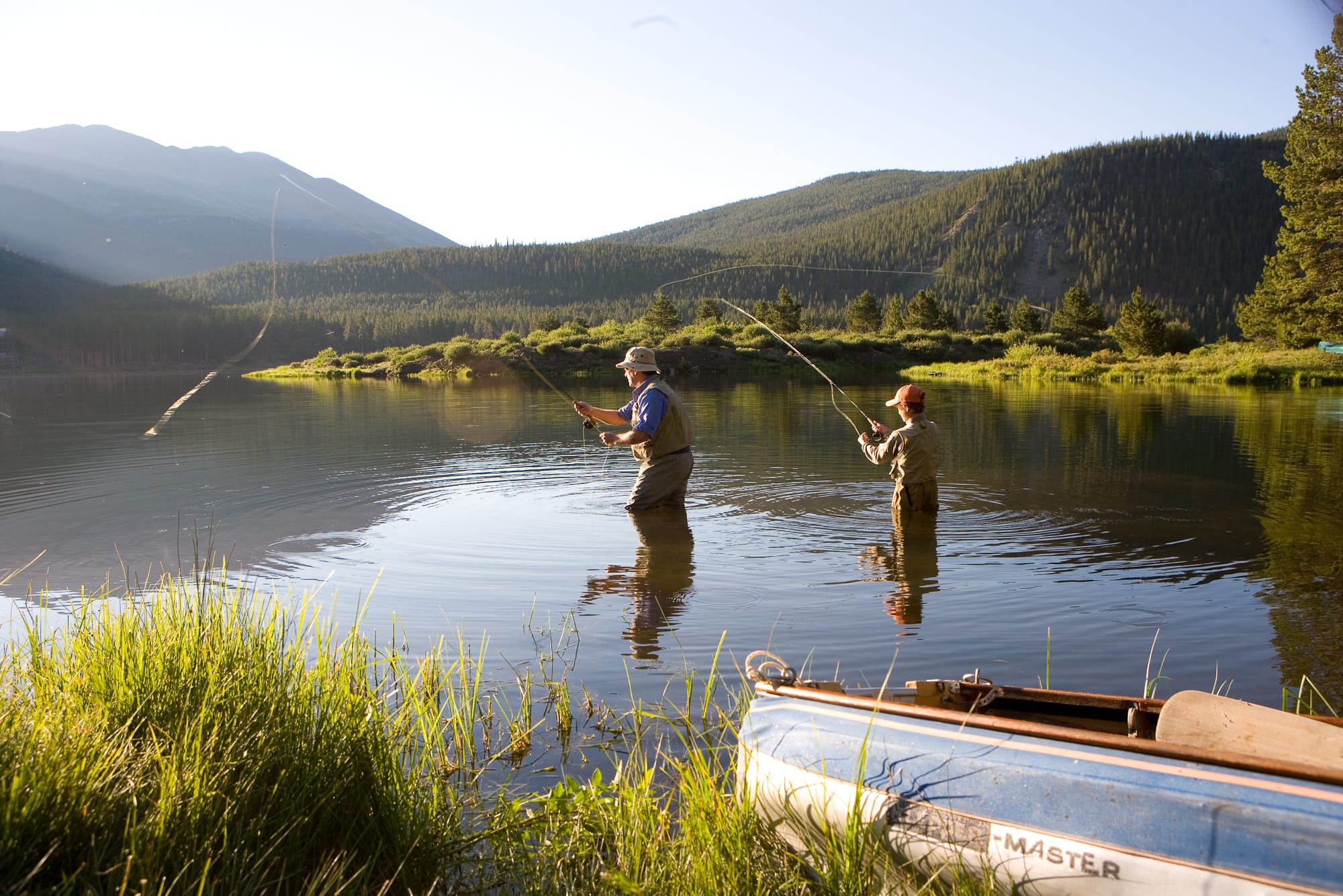
A serene and–yes–cozy alternative to more popular sites. On the shores of the Hoback River, it’s an angler’s dream.
Nature
Upper Snake River Headwaters
One of the great western rivers, the wild and scenic Snake, is born in these emerald meadows. Come June and July, spot lupine, paintbrush, sticky purple geranium.
Salmon-Challis
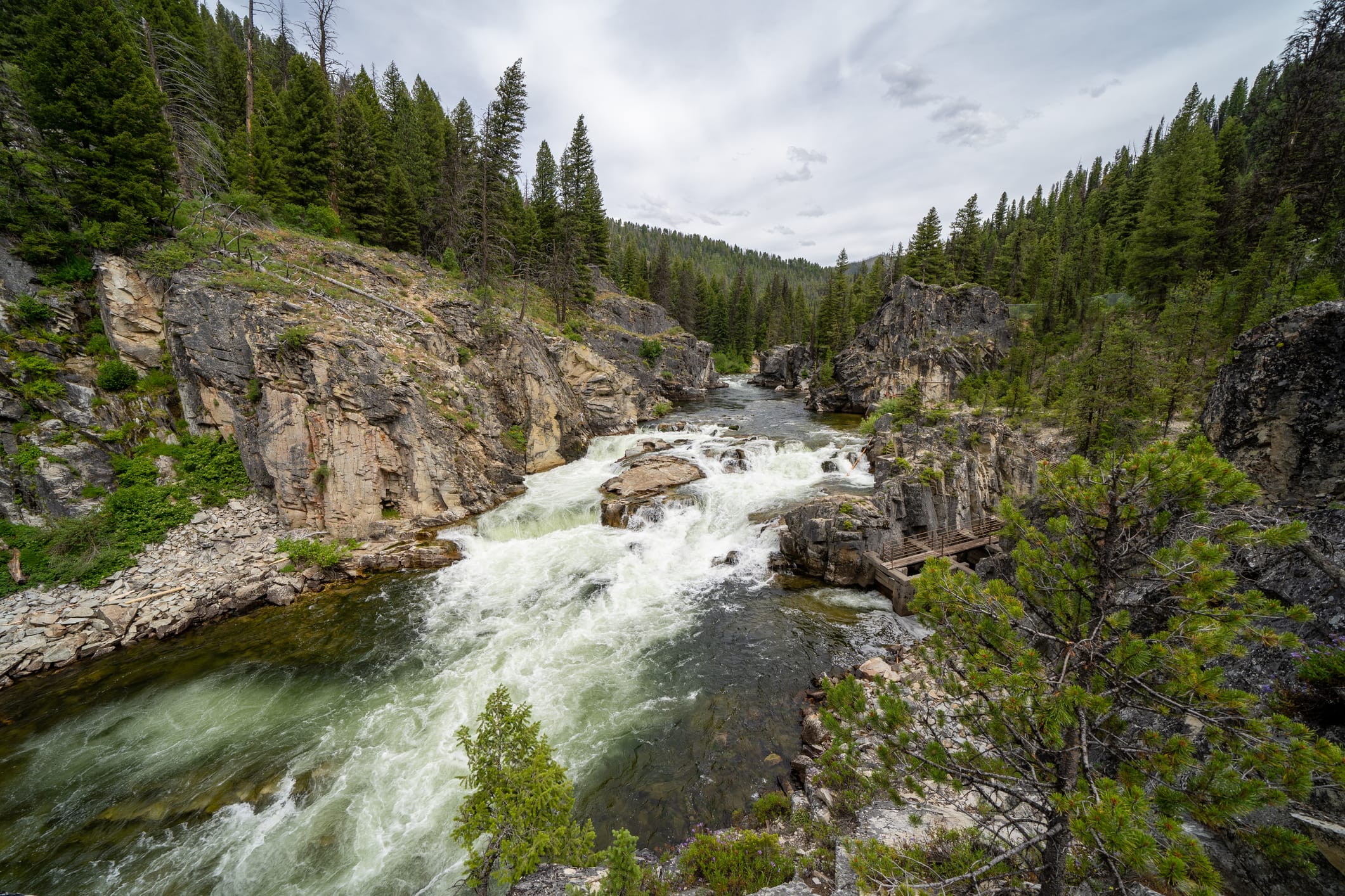
Tucked away in the rugged east-central Idaho wilderness, the free-flowing Salmon River, coined the “River Of No Return,” defines the 4.3 million acres of Salmon-Challis National Forest. Geologically, the river carved a gorge deeper than the Grand Canyon. Ecologically, it is part of a ribbon of life that connects the Pacific Ocean to Idaho’s interior forests. Chinook salmon swim two thousand miles to spawn, the longest inland migration on the continent. Their carcasses provide essential marine nitrogen, nourishing Douglas fir and lodgepole pine forests. To the east, Idaho’s highest mountain, Borah Peak, rises from the vast and surprising Lost River Range.
Trail Recs:
Lower Cedar Creek Falls
Shower Bath Hot Springs
Borah Peak
History
Bonanza & Custer Ghost Towns
Founded by gold prospectors in the 1870s and abandoned within decades. Bonanza remains a ghost town. Two miles upstream, Custer is restored; the Empire Saloon stands as a gift shop.
Camp
Ebenezer Campground
On the shores of the Salmon River, this campsite has excellent fishing and extensive trail systems. Grab a Centennial burger at the Ram’s Head Cafe and Lodge just upstream.
Nature
The Middle Fork
A 100-mile stretch of whitewater is heaven on earth for the rafters who make the pilgrimage, cascading through Frank Church-River of No Return Wilderness, flowing past hot springs and fishing holes.
Flathead
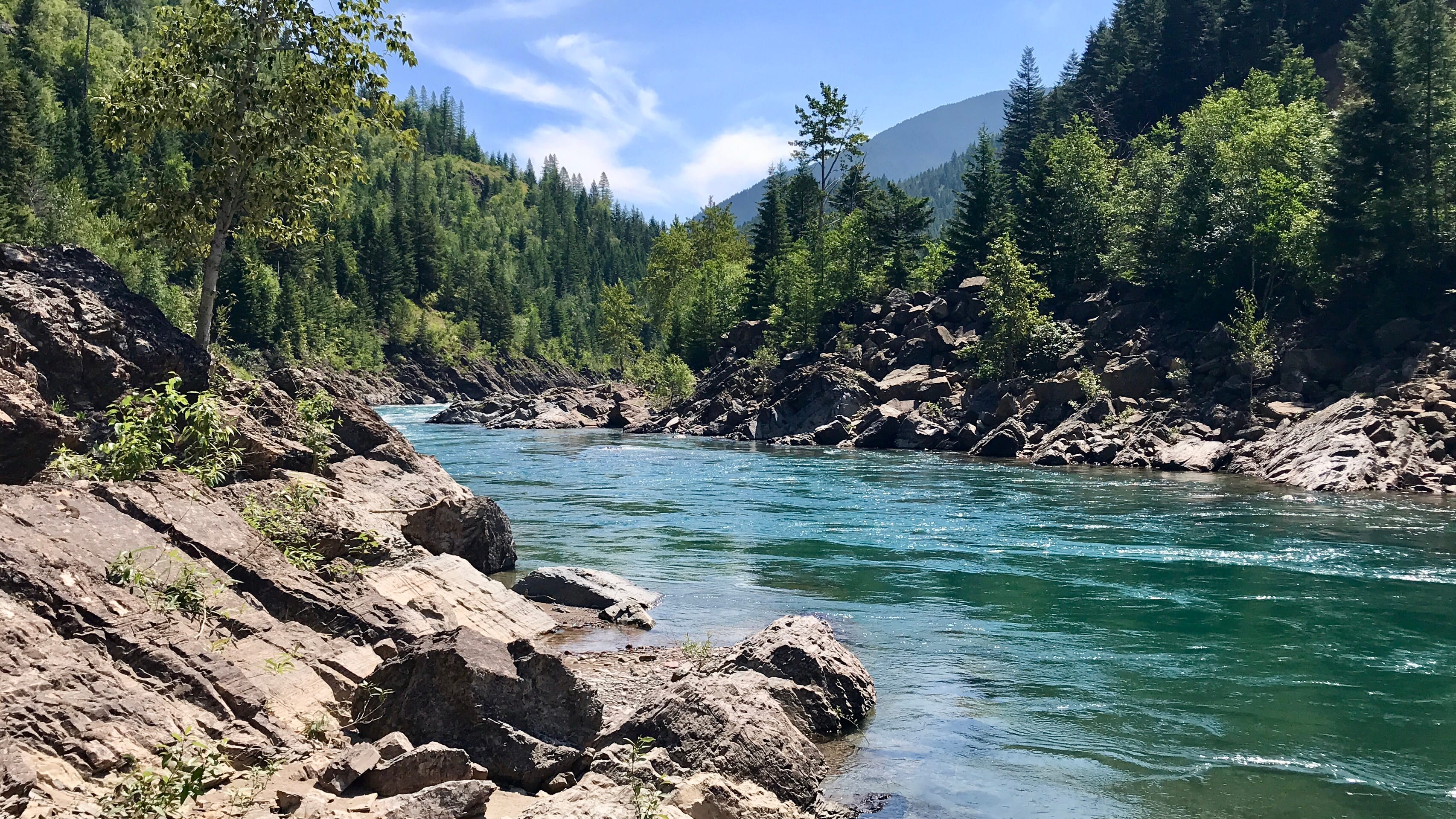
Just south of the Canadian border, Flathead National Forest covers 2.4 million acres in Northwest Montana. This land is rich with gem-tones. Turquoise creeks twist through marsh and meadow. Ruby huckleberries hang low from shrubs. Alpine lakes are jades scattered across glacial basins. Autumn turns emerald evergreens into golden larches, their turmeric boughs alight in alpenglow. The traditional hunting grounds of the Salish, Kootenai, and Pend d’Oreille tribes, the forest is home to over 250 species of wildlife, including grizzly bears, wolves, wolverines, and Canadian lynx. Above the treeline, sure-footed white mountain goats tap dance across impossible terrain.
Trail Recs:
Stanton Lake
Strawberry Lake
Mount Aneas
History
1855 Hellgate Treaty
With the Flathead Reservation’s creation, the three tribes’ hunting grounds (now within the national forest) became a point of contention.
Camp
Spotted Bear Campground
On the shores of a confluence and the edge of a wilderness, let the Flat Head and Spotted Bear Rivers lull you to sleep.
Nature
Chinese Wall
In the Bob Marshall Wilderness Area, a 1,000-foot limestone spine slices 22 miles through thick forest along the Continental Divide–a dramatic, glacier-carved escarpment reachable only on foot, horseback, or flight. For thru-hikers starting the Continental Divide Trail, this sight is an early reward.
West Coast
The myth of this coast looms large, but traverse this jagged stretch where land meets sea and you’ll find the reality of its jaw-dropping sights–like soaring and ancient redwood groves and deepest green rainforest peninsula–live up to the story that precedes them. Even the names lean into the myth: Shipwreck Coast, Avenue of the Giants, Mount Deception.
36 locations:
36 locations:
Angeles National Forest
California
Chugach National Forest
Alaska
Cleveland National Forest
California
Colville National Forest
Washington
Deschutes National Forest
Oregon
Eldorado National Forest
California & Nevada
Fremont–Winema National Forest
Oregon
Gifford Pinchot National Forest
Washington
Inyo National Forest
California & Nevada
Klamath National Forest
California & Oregon
Lake Tahoe Basin Management Unit
California & Nevada
Lassen National Forest
California
Los Padres National Forest
California
Malheur National Forest
Oregon
Mendocino National Forest
California
Modoc National Forest
California
Mount Baker–Snoqualmie National Forest
Washington
Mount Hood National Forest
Oregon
Ochoco National Forest
Oregon
Okanogan–Wenatchee National Forest
Washington
Olympic National Forest
Washington
Plumas National Forest
California
Rogue River–Siskiyou National Forest
Oregon & California
San Bernardino National Forest
California
Sequoia National Forest
California
Shasta–Trinity National Forest
California
Sierra National Forest
California
Siuslaw National Forest
Oregon
Six Rivers National Forest
California
Stanislaus National Forest
California
Tahoe National Forest
California
Tongass National Forest
Alaska
Umatilla National Forest
Oregon & Washington
Umpqua National Forest
Oregon
Wallowa–Whitman National Forest
Oregon & Idaho
Willamette National Forest
Oregon
““National Forests remind us to pay attention and notice. Vast vistas and tiny details help bring me back to what matters.” ”
Tongass
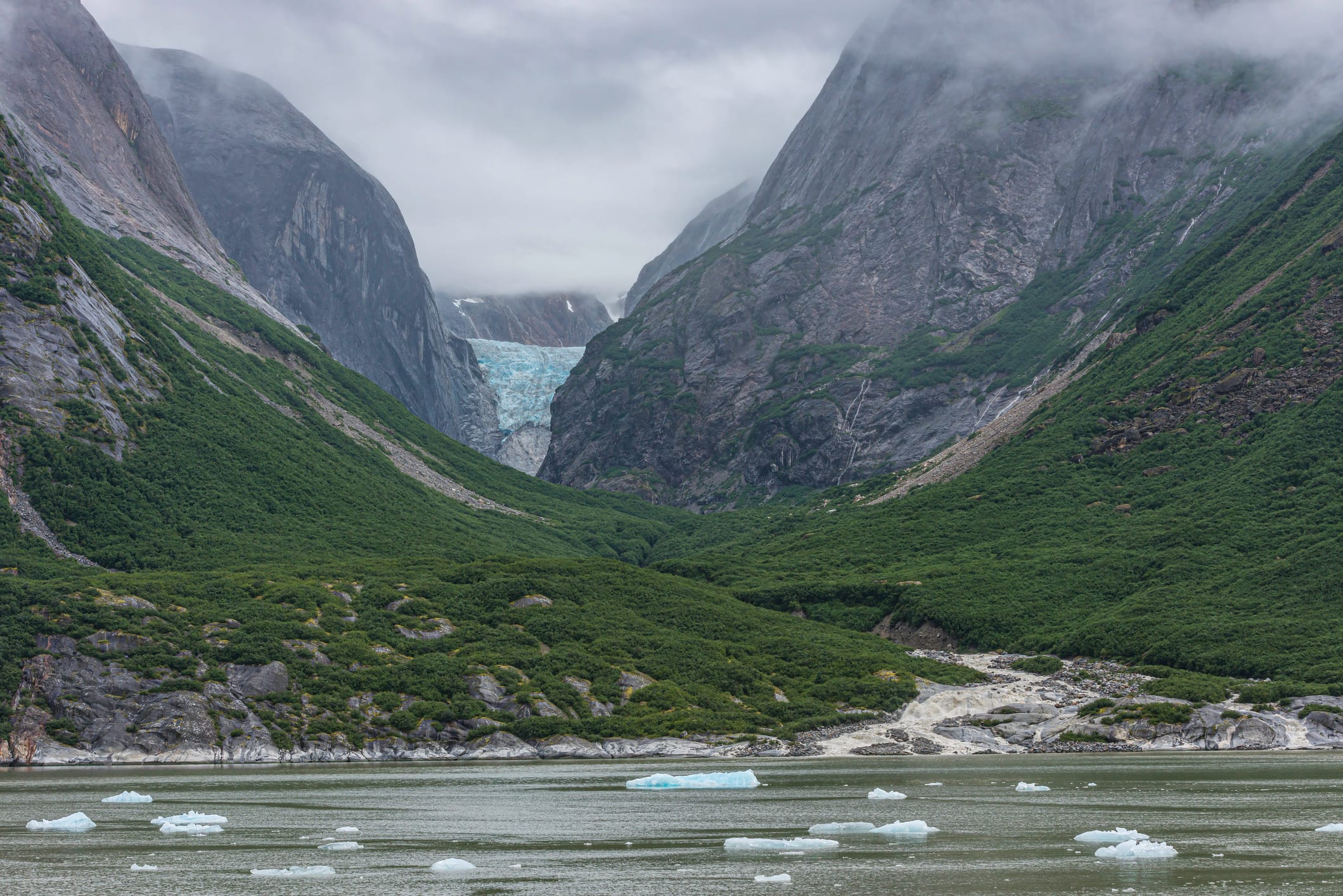
As wild as it gets. At 17 million acres (larger than all of West Virginia), the Tongass National Forest spans most of Southeast Alaska, the thousands of emerald islands that make up the Inside Passage. Mountains rise from tidewater. Humpbacks, the so-called ballerinas of the sea, leap through glacier-carved fjords. The annual salmon run brings out thousands of bears; you’ll find a heck of a scene at Anan Wildlife Observatory in July and August. At sea level, it’s verdant temperate rainforest: massive western hemlock and Sitka spruce carpeted in moss, a riot of ferns, an understory of salal and huckleberry. On the peaks: frigid winds, hardy sedges. Travel is by ferry, sea kayak, and float plane. Waterproof hiking boots are a must; if you make the journey here, you’ll want to take glacier-looping trails and steep switchback treks along deep-carved waterways.
Trail Recs:
Mendenhall Glacier
Punchbowl Cove
Deer Mountain
History
Totem Poles
Monumental carvings used by the Tlingit, Haida, and Tsimshian to memorialize, display ancestry, and tell stories. The region is home to a host of master carvers, including Israel Shotridge, a Tongass Tlingit (Teikweidi clan) carver who replicated the 55-foot Chief Johnson pole in 1989.
Camp
Turner Lake West Cabin
Chalet-style log cabin set amid spectacular cliffs and waterfalls. Skiff with oars is available; BYO outboard.
Nature
Nurse Logs
In old-growth forests, downed and decaying trees offer a vital head start for seedlings: death and life in action.
Mount Baker-Snoqualmie
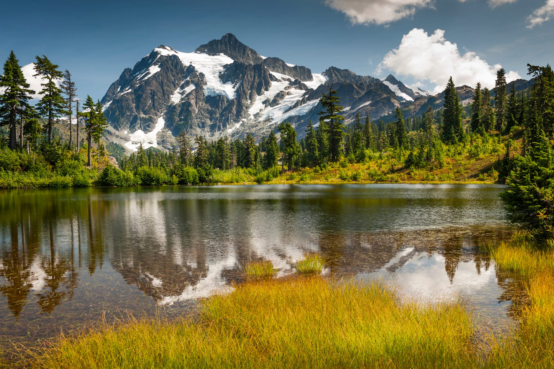
Running along the western slopes of the Cascade Mountains from the Canadian border to Mount Rainier National Park, the 1.7 million-acre Mount Baker-Snoqualmie National Forest boasts some of the most ruggedly scenic country in the lower 48–and, with its proximity to Seattle and Vancouver, an abundance of visitors. Be mindful as you move among its glories: dense woods, craggy mountains, hundreds of jewel-like alpine lakes, two towering volcanoes (recreation hub Mount Baker and much more remote Glacier Peak), and first-rate hiking, mountaineering, and skiing. Keep an eye out: notable high-country wildlife include mountain goats, often seen scaling jagged cliffs, and hoary marmots, often seen belly-down on warm rocks. An exceptional array of bird life haunts the canopy and shoreline here, too—listen for the rare northern spotted owl in mature and old-growth stands.
Trail Recs:
Huntoon Point via Artist Ridge
Chain Lakes
Granite Mountain
History
“Call of the Wild” (1935)
Clark Gable starred in the adaptation of a classic. (It was set in the Alaskan Yukon, but filming took place around Mount Baker.)
Camp
Heybrook Lookout
Decommissioned fire-scouting tower turned highly desirable cabin rental.
Nature
Goldmyer Hot Springs
In the foothills of the Cascades, backcountry soaking in a storybook setting; reservations available via lottery (max eight people).
Deschutes
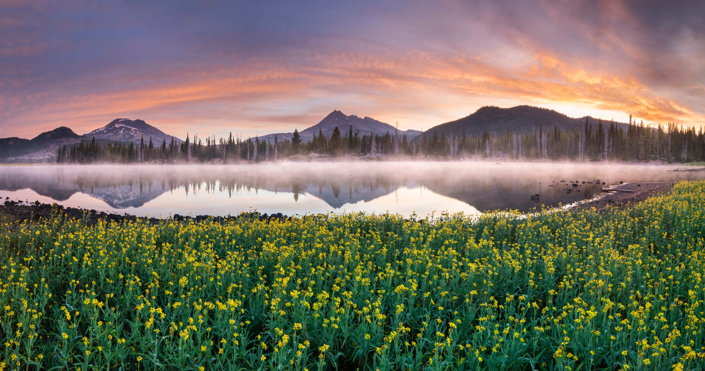
At the western boundary of central Oregon’s 1.6-million-acre Deschutes National Forest are the Doug fir-dotted slopes of the Cascade Mountains. Travel east and watch the scenery dry out, with slender ponderosa and lodgepole pines giving way to the gnarled juniper and pungent sagebrush of the high desert. Clark’s nutcrackers love these pine swaths and their seeds; they’re known to store tens of thousands of seeds in scattered sites, later recovering many of them by memory–a mutual relationship at its finest. The area’s volcanoes and rivers provide year-round recreational opportunities, from whitewater rafting to mountain biking to horseback riding to alpine and cross-country skiing. Newberry National Volcanic Monument, meanwhile, gives a crash course in volcanic geology, with cinder cones, obsidian flows, lava tubes, and a lava-cast forest.
Trail Recs:
Big Obsidian Flow
Tumalo Mountain
South Sister
History
Moon Training
In the ’60s, NASA sent moon-bound astronauts (Neil Armstrong, Buzz Aldrin, et al) to train at Newberry’s lava beds. One could say these landscapes made the “giant leap for mankind” possible.
Camp
Lava Lake
A lake circled by lava outcroppings, mature pine forests, and 44 sites along the Cascade Lakes National Scenic Byway.
Nature
Matsutake
The highly prized, aromatic mushroom flourishes here among mixed conifers; the season typically begins after Labor Day. You have to taste it to understand it: the matsutake flavor has been described as cinnamon, cedar, even red hots.
Sequoia
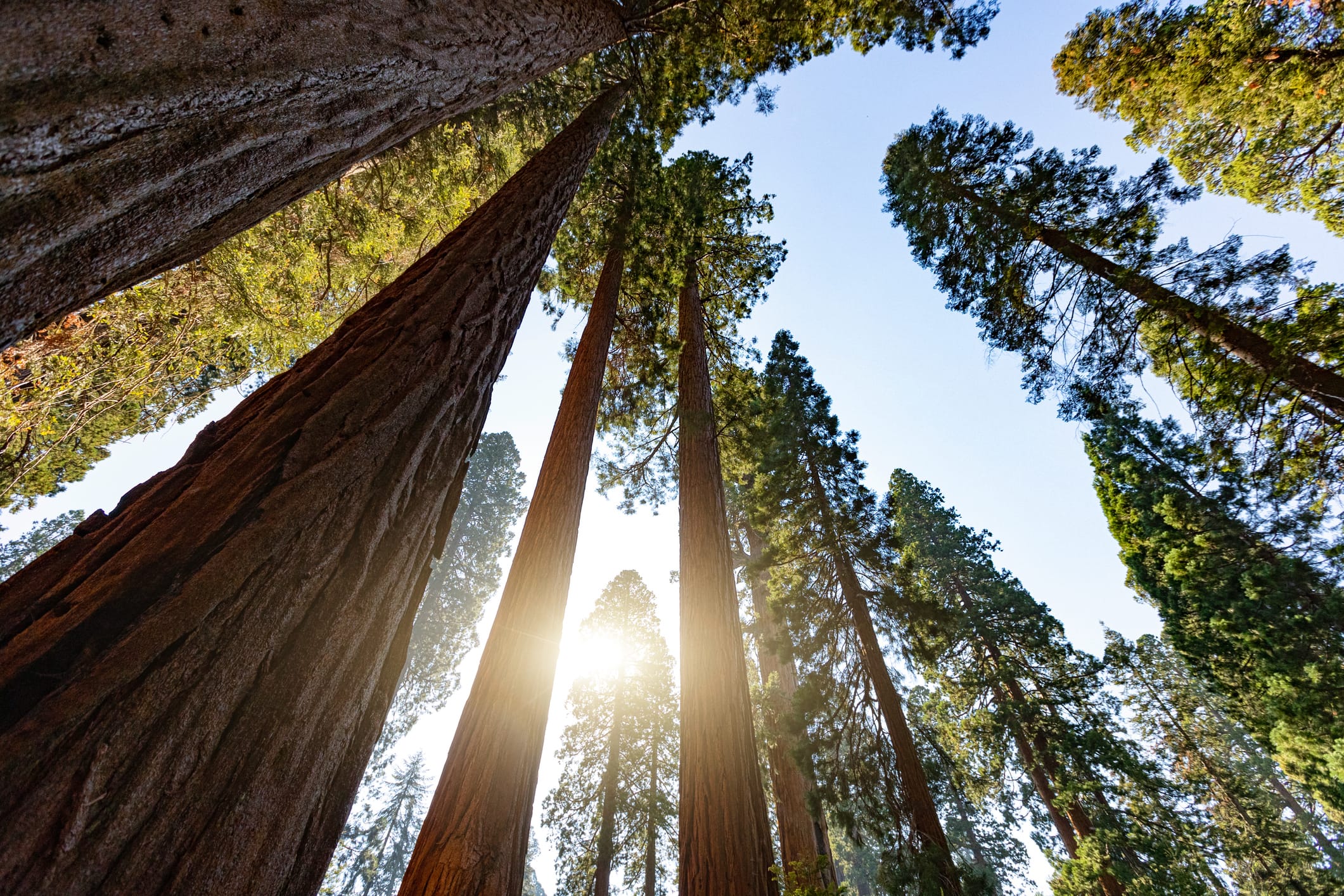
It’s all in the name: the colossal trees are the main draw to California's Sequoia National Forest on the western slopes of the southern Sierra Nevada. (Not to be confused with the much smaller Sequoia National Park, which it borders.) One of three species of redwoods, giant sequoias are, by bulk, the largest trees on earth—not just tall (often 250 feet or more) but thick, with massive bases wider than many city streets. They form distinct groves, like majestic cathedrals, 33 of which are found in this forest’s Giant Sequoia National Monument. Beyond the profound experience of deep time in these noble stands, expect a backdrop of dramatic granite spires, access to the Pacific Crest Trail, and pack stations offering guided wilderness horseback trips.
Trail Recs:
Trail of 100 Giants
Boole Tree
Slate Mountain
History
Exhibition Trees
During the late nineteenth century, giant sequoias were felled specifically to show disbelieving crowds at expos and world fairs.
Camp
Princess
Indeed, fit for royalty: 90 sites nestled among the Indian Basin Grove, next to a meadow that bursts with spring wildflowers. It might not get better than this for lovers of the big trees.
Nature
Fire
A necessity for giant sequoia forests. Recent years have seen the return of Indigenous practices of cultural burning. This beneficial fire can reduce fuel and change the behavior of future wildfires, a means of conserving threatened sequoias.
Southwest
Ancient heritage and geological grandeur. Solace, inspiration and reinvention among mesquite, juniper and pinyon pine. From desert or montane forest, look up to night skies pitched with a million stars. The Southwest brings to stage wonder and awe, containing multitudes and beyond.
12 locations:
12 locations:
Apache–Sitgreaves National Forests
Arizona & New Mexico
Carson National Forest
New Mexico
Cibola National Forest
New Mexico
Coconino National Forest
Arizona
Coronado National Forest
Arizona & New Mexico
Dixie National Forest
Utah
Gila National Forest
New Mexico
Kaibab National Forest
Arizona
Lincoln National Forest
New Mexico
Prescott National Forest
Arizona
Santa Fe National Forest
New Mexico
Tonto National Forest
Arizona
“Every critter, every tree, every nook and cranny has something fascinating to reflect upon.”
Gila
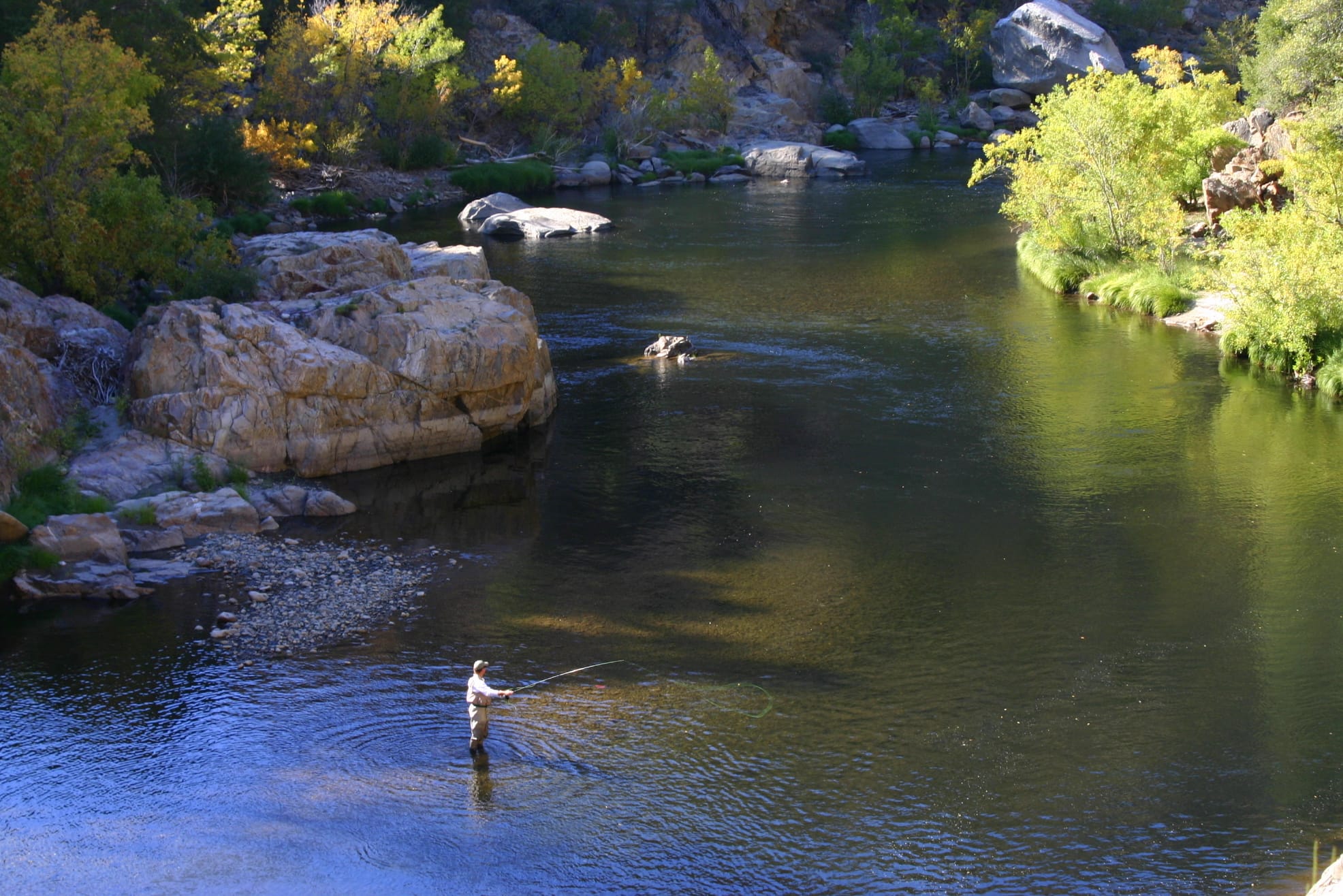
Encompassing a sizable swath of west-central New Mexico, the Gila National Forest embodies in both its physical form and its vibes the National Forest System’s early ideals: namely that wild country is good not only for ecological health, but for the human soul. It was the groundbreaking wildlife conservationist–and early-day forest ranger—Aldo Leopold who first proposed setting aside designated wilderness areas here; later, the idea spread nationwide. Though the landscape he saw has been buffeted by livestock grazing, invasive species, wildfires, and climate-induced drought, it retains a wild and expansive character, best experienced on two feet, or four.
Trail Recs:
Catwalk/Whitewater
Little Bear Canyon
Black Range Crest
History
Mexican wolves
These reintroduced carnivores roam the forest’s backcountry, comeback descendents of the Blue Range Wolf Recovery Area release in 1998. Gila remains foundational habitat to the Mexican Wolf Experimental Population Area (MWEPA); it’s a key area for breeding packs.
Camp
Willow Creek
Nestled in the canyon under tall pine stands, tranquil sites run along both sides of a stream.
Nature
Hot Springs
Along the Gila, natural–and often au natural—hot springs soothe aching muscles. Jordan Hot Springs is secluded and undeveloped, bellied up to the Middle Fork of the river, a more remote counterpart to the more populous springs in these parts.
Humboldt-Toiyabe
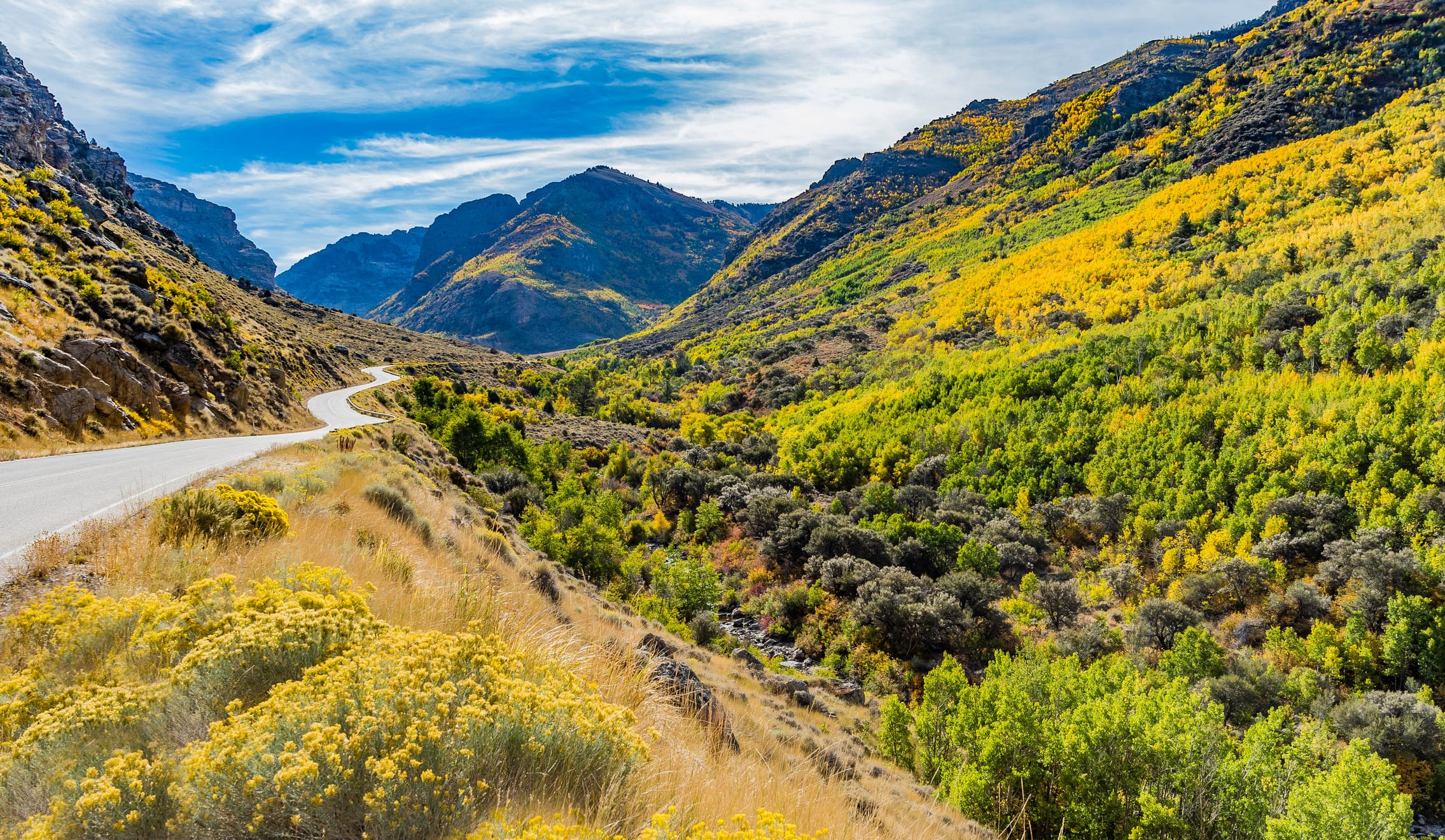
In the Great Basin, the skin of the Earth puckered, and the wood-grown parts high enough to kiss heaven became Humboldt-Toiyabe National Forest—the largest designation of its kind in the lower 48. That singular word “forest” is a bit notional, because the green swaths that constitute it stretch along high mountain ranges clear across the state, separated from one another by sagebrush basins. Isolation bred unique species of plants and insects, and plant communities, that distinguish one range from another. Travelers here should expect to be self-sufficient, whether on foot or on wheels. Their rewards are clear air, astonishingly dark skies at night, and a sense of spaciousness that harks back to earlier times.
Trail Recs:
Mount Charleston
Dollar/Lamoille Lakes
Toiyabe Crest
History
Basque sheepherders
Rugged loners roamed the mountains a century ago, leaving aspen carvings—called arborglyphs—behind. These herders helped establish ranching practices and traditions that continue to this day.
Camp
Green Creek
Fish the creek and fall asleep to its babble; aspens and pines offer shade, while the Hoover Wilderness trailhead leads to glorious alpine swim spot, Green Lake.
Nature
Native Trout
Remnant [and critical] stream populations—like Lahontan cutthroat trout and the endangered Paiute cutthroat trout—are echoes of the Great Basin’s wetter past. Habitat protections and recovery efforts are ongoing.
Coconino
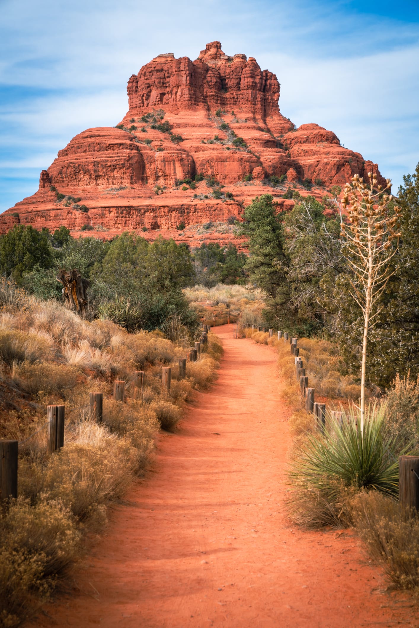
From the depths of redrock canyons to the snows and tundra of Arizona’s highest mountains, the Coconino National Forest can satisfy pretty much any visitor’s needs for wild-country recreation, in any season, against a truly iconic backdrop. Hiking, skiing, canyoneering, mountain biking: it’s all here, often in the welcome shade of high-country spruce and aspen, mid-elevation ponderosa pine, or riparian gallery forests of sycamore, alder, and cottonwood. Traces of the rip-roaring lumberjack-and-cowboy past remain in the form of old logging railbeds, barbed-wire corrals, and historic cowboy trails. But these days, it’s a much more tranquil scene. Now, most of what gets extracted from the forest is memories, sore muscles, and jealousy-inducing Instagram posts.
Trail Recs:
Kachina Trail
Bell Trail
Wilson Mountain
History
Fire lookouts
Sharp-eyed watchers still staff “the Coke’s” historic fire towers, like Buck Mountain, O’Leary Peak, Woody Mountain, and Baker Butte.
Camp
Clear Creek
West Clear Creek flows along the boundary of this desert canyon country camp, a has-it-all site with access to hiking, swimming, wading and fishing.
Nature
Palatki Heritage Site
Layered rock art, cozy stone ruins in a south-facing cliff nook. Cliff dwellings were built and inhabited by the Sinagua people between 1150 and 1350 C.E; some of the art here is thousands of years older than that.
Kiowa & Rita Blanca
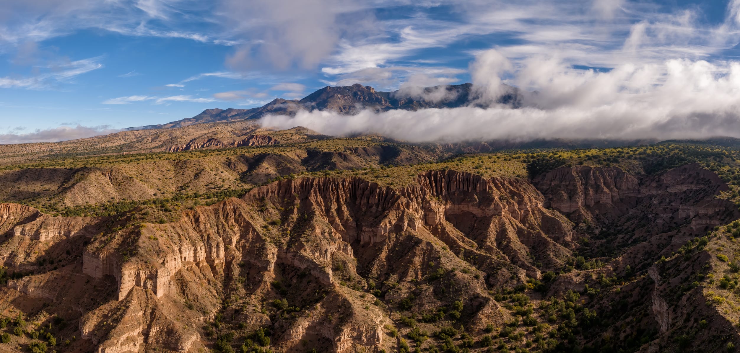
In April 1935 a “black blizzard” engulfed the southern Great Plains, ripping up so much loose soil that clouds of dust reached the Atlantic. The Dust Bowl shaped American history–and the plains landscape, for one outcome was the creation of public “national grasslands” in parallel with national forests. Spread over northeast New Mexico, far north Texas, and western Oklahoma, the Kiowa and Rita Blanca National Grasslands (managed by the Cibola National Forest district) are case studies in how the land is still healing. Their wide-open vistas support cattle grazing—but not row crops–and prescribed fires that are critical in restoring land health. The beneficiaries include prairie wildflowers, pronghorn, such grassland-reliant birds as ferruginous hawks and burrowing owls—and human spirits, lifted by big skies and the time-honored gush of wind through waving grasses.
Trail Recs:
Santa Fe Trail
Mills Canyon
Sabinoso Wilderness
History
Cimarron County, OK
Oklahoma’s western tip was the Dust Bowl disaster’s epicenter. Photographer Arthur Rothstein captured iconic images here in 1936, raising national awareness of its ravages.
Camp
Mills Canyon Rim Campground
Six remote sites offer breathtaking canyon and Canadian River vistas.
Nature
Pronghorn
Often misnamed “antelope.” These pale grassland grazers have remarkably sharp eyesight; they can detect movement several miles away across open country.
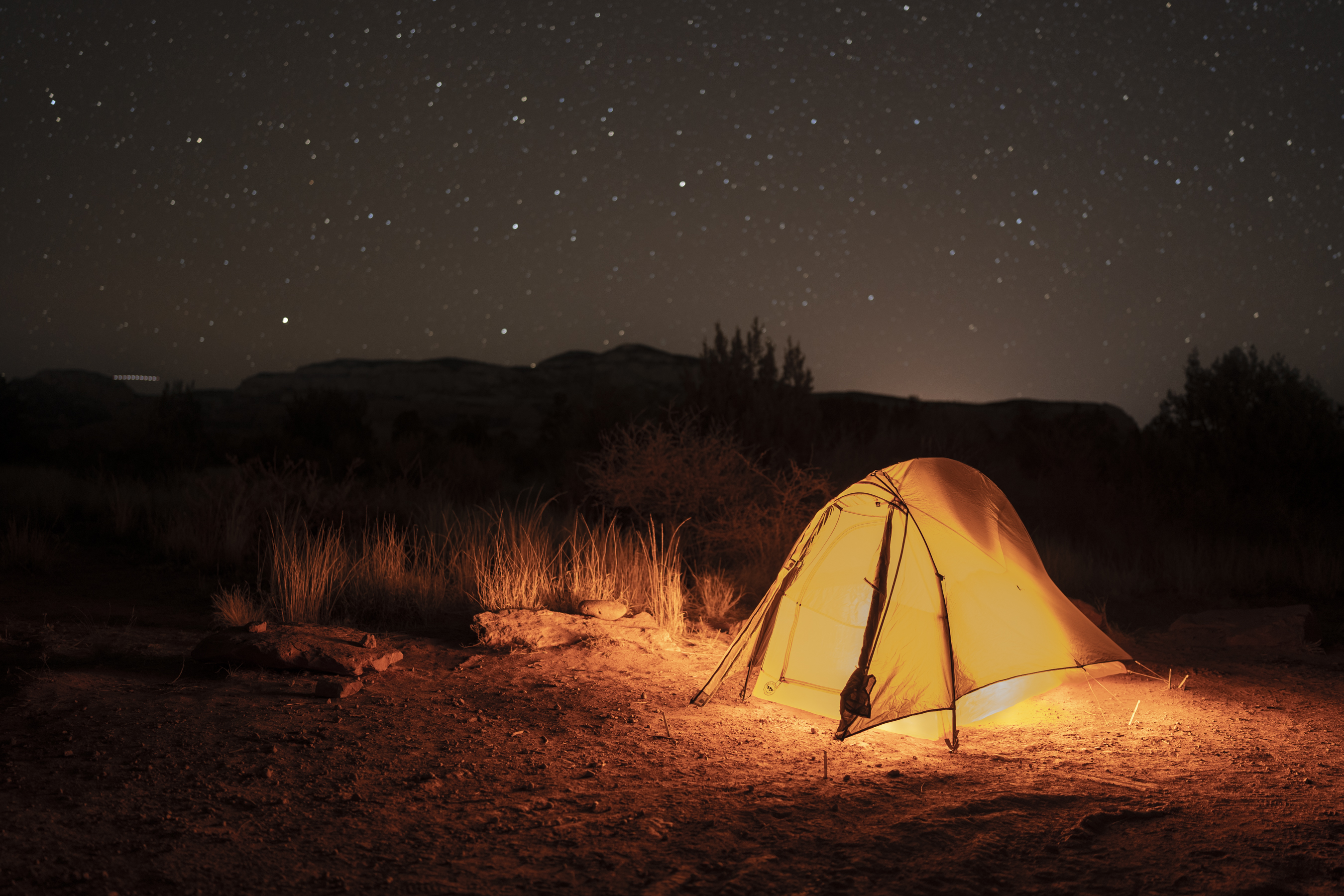
Get the Guide
At Wildsam, we cover places all over this country. In this book, for the first time ever, we cover the nation’s forest system, a wide-spanning wonder of 193 million acres of public land. This vast arboreal network is close to our hearts; that’s why we’re excited—and honored—to team up with the National Forest Foundation to bring you this panoramic national guide to National Forests and Grasslands. These natural spaces have been revered for milennia, and designated within the National Forest System for 150 years. We can only hope this book communicates its own kind of reverence, in its own humble way.

National Forest Foundation
Projects and perspectives that shape work on behalf of the National Forests
About NFF
Three pillars of impact are the driving force behind the delivery of the National Forest Foundation’s mission—these ambitious evergreen goals are critical, requiring continual investment in their ability, reach, and resources.
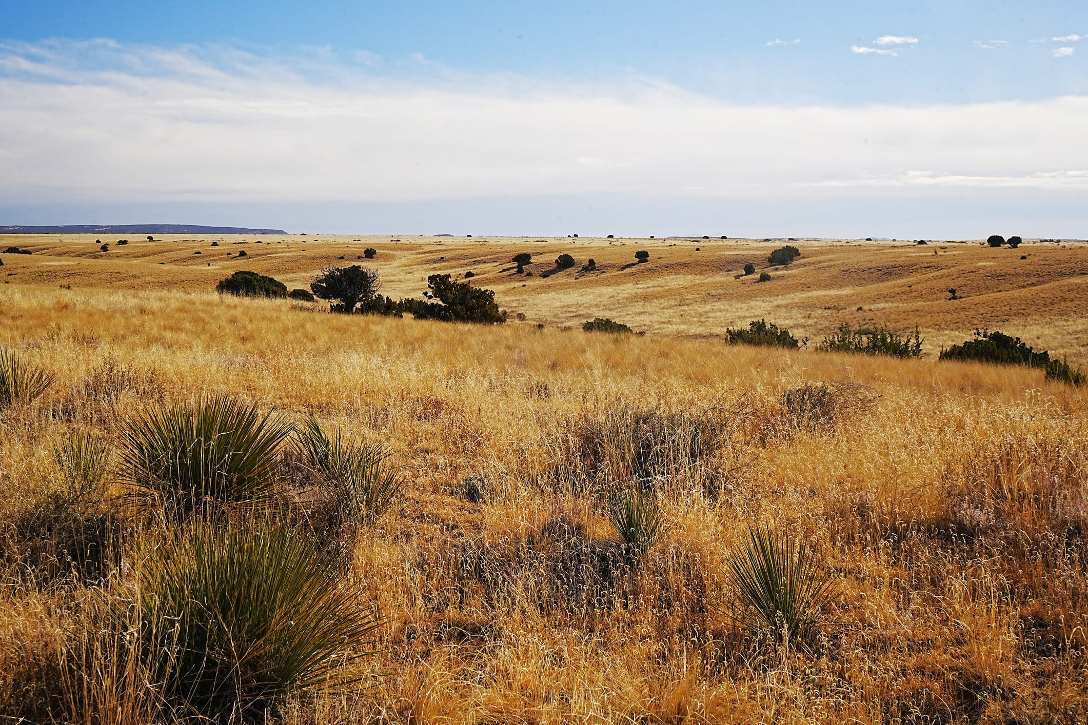
Restoration
Repairing and healing the waters that sustain us—bringing back vibrant forests, flowing streams, and resilient habitats for future generations.
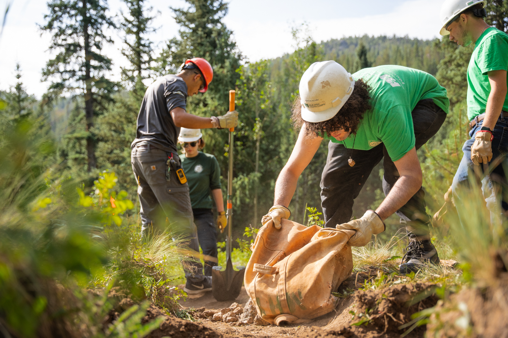
Wildfire
Making forests and communities better able to withstand wildfire through landscape-wide treatment, community risk reduction, and local collaboration.
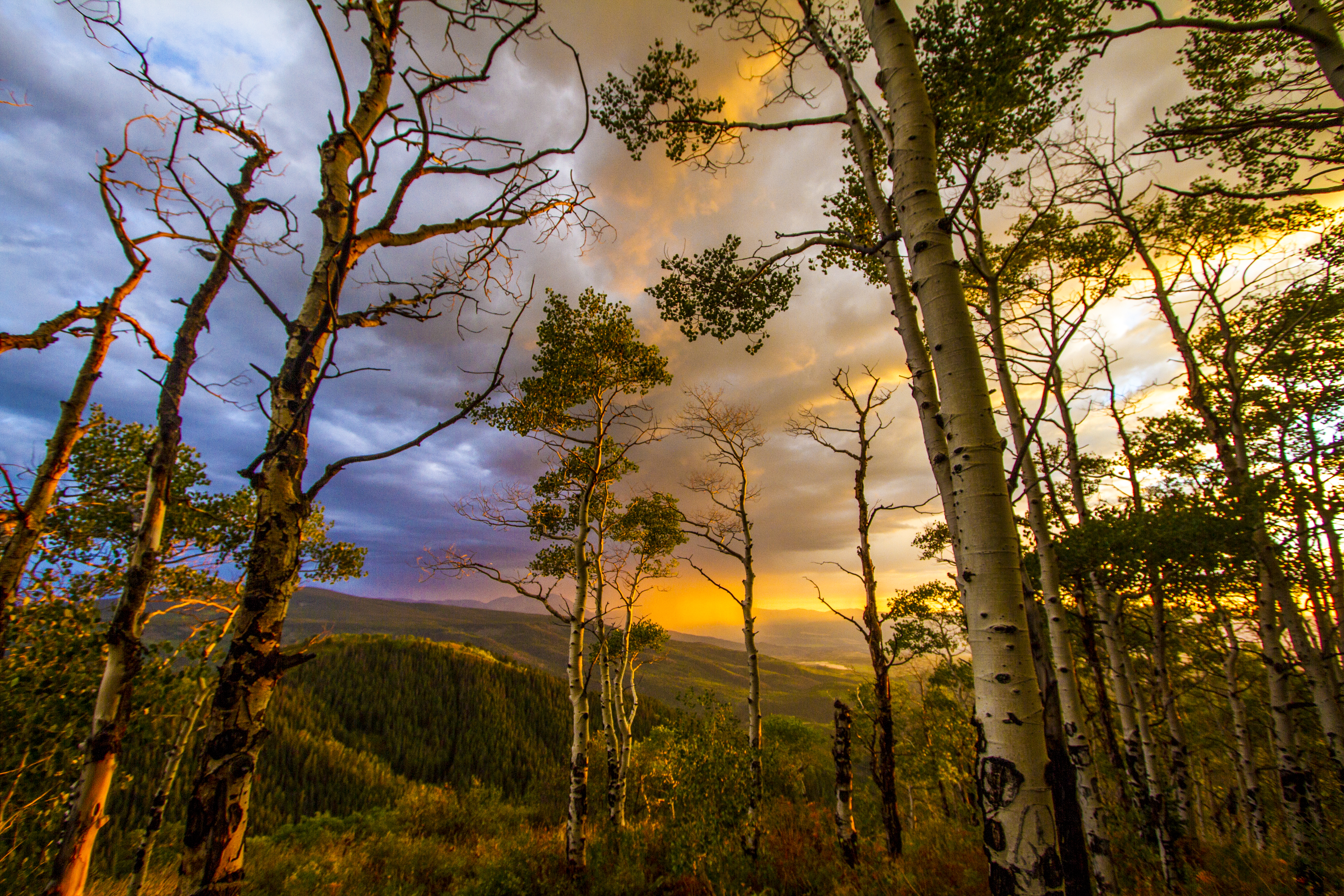
Recreation
Ensuring accessible, sustainable, and high-quality opportunities for people to connect with nature, while strengthening economies and protecting ecosystems.
Support
National Forest Foundation's impact is more than the number of trees they plant or acres they restore. It’s people hiking trails for the first time since they closed after a storm; communities still standing because of treatments that reduced wildfire risk in their area; cities downstream of restored wetlands that have a renewed, steady supply of clean water. National Forests have a deep-rooted, generational impact on our landscape and on our lives.
Learn more about how, together, we can keep our National Forests and Grasslands thriving.